by CoastView | Feb 25, 2024 | 2024, Biodiversity, British Columbia, Coastal Features, Developments, Land Use, Natural History, Rivers
Scotia River starts at an elevation of 5,023 feet (1,531 m) in the Coast Range and flows generally north-northwest for 14 miles (22 km) through the Great Bear Rainforest, draining a watershed of 33,360 acres (13,500 ha) to the southern shore, or left bank, of the...
by CoastView | Feb 24, 2024 | 2024, Beaches, Coastal Features, Developments, Embayments, Headlands, Land Use, Lighthouses, Parks, Washington
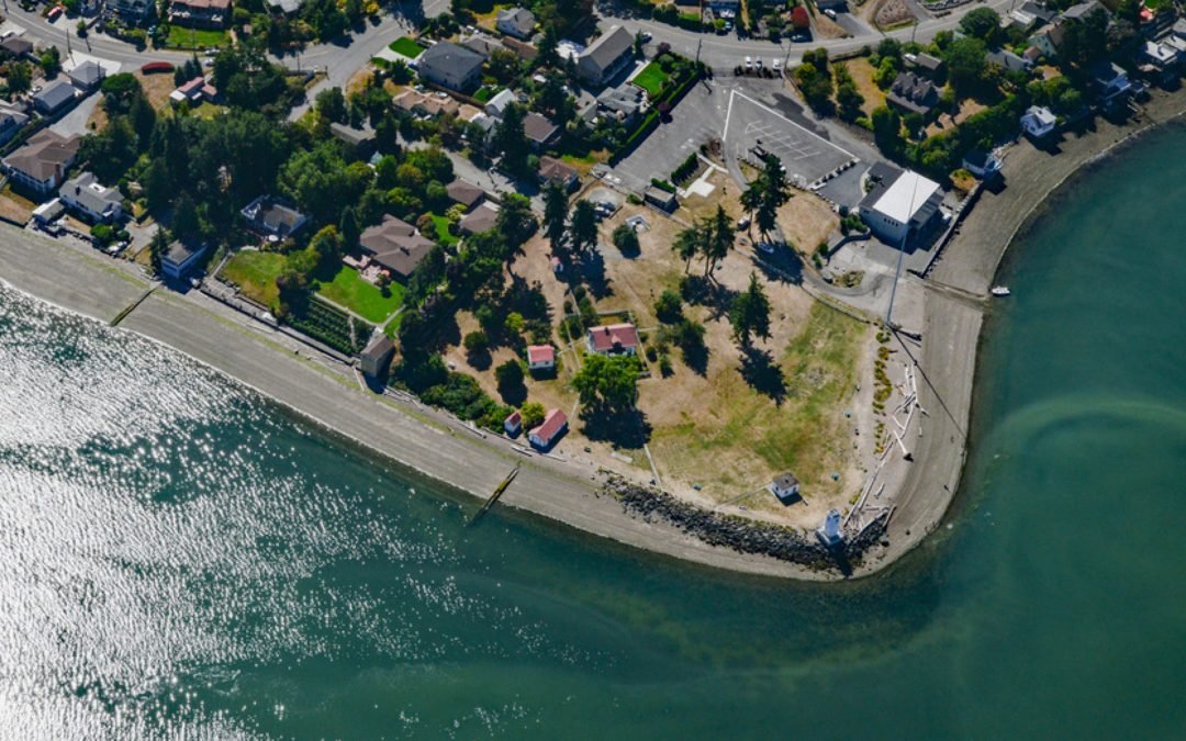
Browns Point is a conspicuous landmark in Puget Sound located at the southern end of East Passage and at the entrance to Commencement Bay, about 21 miles (34 km) south-southwest of Seattle and 4 miles (6.5 km) north of Tacoma, Washington. In May 1841, the U.S....

by CoastView | Feb 23, 2024 | 2024, Beaches, Biodiversity, California, Coastal Features, Communities, Land Use, Natural History, Rivers
Mad River starts in the Coast Range at an elevation of 4,845 ft (1,477 m) and flows generally northwest for 113 miles (182 km), draining a watershed of 318,080 acres (128,722 ha), and enters the Pacific Ocean about 12 miles (19 km) north of Eureka and 1.8 miles (3 km)...
by CoastView | Feb 22, 2024 | 2024, Alaska, Biodiversity, Coastal Features, Embayments, Land Use, Natural History, Parks, Rivers
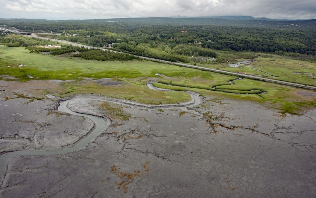
Rabbit Creek starts at the outlet of Rabbit Lake, at the base of the west flank of North Yuyanq’ Ch’ex in the Chugach Mountains at an elevation of 3,082 feet (940 m), and flows generally west-northwest for 26 miles (42 km) draining a watershed of 9,152 acres (3,704...
by CoastView | Feb 21, 2024 | 2024, Alaska, Coastal Features, Embayments, Historical, Islands, Natural History, Shipwrecks
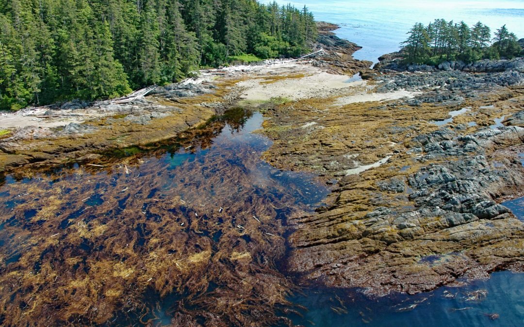
Kaigani Point is at the southwest tip of Long Island between Kaigani Strait to the west and Cordova Bay to the east, about 100 miles (161 km) northwest of Prince Rupert and 56 miles (90 km) southwest of Ketchikan, Alaska. Long Island is directly south of Sukkwan...