by CoastView | Mar 1, 2024 | 2024, Alaska, Biodiversity, Coastal Features, Developments, Embayments, Islands, Land Use, Natural History
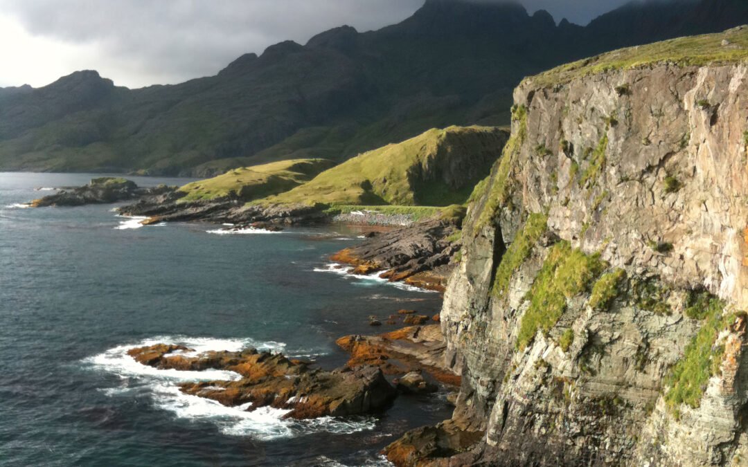
Boot Bay is 3 miles (5 km) west of Kagalaska Strait on the south coast of Adak Island, the site of intensive military activity from 1942 to 1997, near the western extent of the Andreanof Islands group of the Aleutian Islands, about 443 miles (713 km) southwest of...

by CoastView | Feb 29, 2024 | 2024, Beaches, Biodiversity, Coastal Features, Land Use, Natural History, Oregon, Rivers
Floras Creek starts from an elevation of roughly 2,786 feet (849 m) on the north flank of Edson Butte in the Oregon Coast Range and flows generally west for 13 miles (21 km), draining a watershed of 51,652 acres (20,903 ha) to the outlet of Floras Lake where the...

by CoastView | Feb 28, 2024 | 2024, Alaska, Biodiversity, Coastal Features, Headlands, Land Use, Natural History
Alokut Point is a steep promontory with a summit elevation of 1015 feet (310 m) that represents an abrupt change in direction of the Cape Lisburne coastline and forms the northwest terminus of the Lisburne Hills, about 100 miles (160 km) southwest of Point Lay and 39...

by CoastView | Feb 27, 2024 | 2024, Alaska, Coastal Features, Embayments, Glaciers, Land Use, Natural History, Parks
McBride Glacier starts from a series of cirques at elevations near 5500 feet (1676 m) on the southern flank of the Takhinsha Mountains in Glacier Bay National Park and Preserve and flows generally south for roughly 10 miles (16 km) to McBride Inlet which connects to...
by CoastView | Feb 26, 2024 | 2024, Alaska, Biodiversity, Canneries, Coastal Features, Embayments, Glaciers, Land Use, Natural History, Rivers
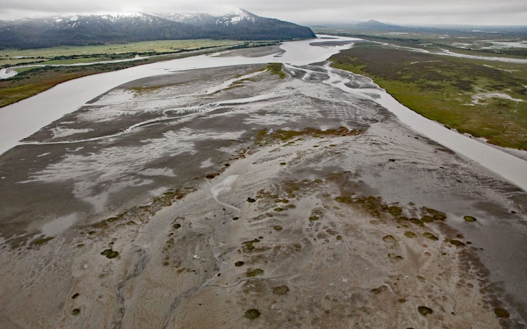
Bering River starts from a series of ice-marginal lakes and streams draining from the Martin River, Steller, and Bering glaciers, and flows generally south-southwest for 18 miles ( km) to Controller Bay on the Gulf of Alaska, about 63 miles (102 km) west of Cape...