
by CoastView | Dec 3, 2023 | 2023, Alaska, Best of 2023, Biodiversity, Canneries, Coastal Features, Communities, Embayments, Land Use, Natural History, Rivers
Rolph, or Ralph Slough is a tidal creek in an area of grass meadows and numerous unnamed sloughs that cut through vast mud flats on the left bank near the mouth of the Nushagak River at Nushagak Point, about 55 miles (89 km) west-northwest of Naknek and 6 miles (10...
by CoastView | Dec 1, 2023 | 2023, Alaska, Biodiversity, Communities, Embayments, Islands, Land Use, Natural History, Rivers
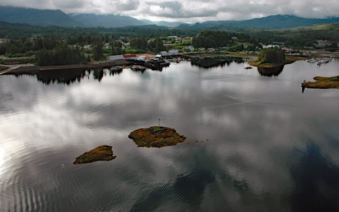
Klawock is a community on the estuary of the Klawock River on the west coast of Prince of Wales Island in the Alexander Archipelago of Southeast Alaska, about 58 miles (93 km) northwest of Ketchikan and 6 miles (10 km) northeast of Craig, Alaska. The Klawock River...
by CoastView | Nov 30, 2023 | 2023, Alaska, Biodiversity, Climate Change, Coastal Features, Communities, Embayments, Land Use, Natural History, Rivers
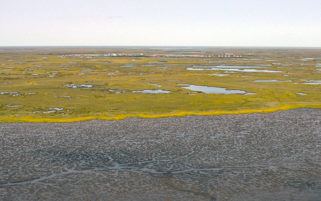
Kongiganak is a Central Yup’ik community situated on the eastern bank of the Kongnignanohk River that flows generally south for 40 miles (64 km) through a watershed of 29,718 acres (12,026 ha) in the Yukon Delta National Wildlife Refuge to the western shore of...
by CoastView | Nov 29, 2023 | 2023, Alaska, Biodiversity, Coastal Features, Embayments, Land Use, Natural History, Parks, Shelter Cabins
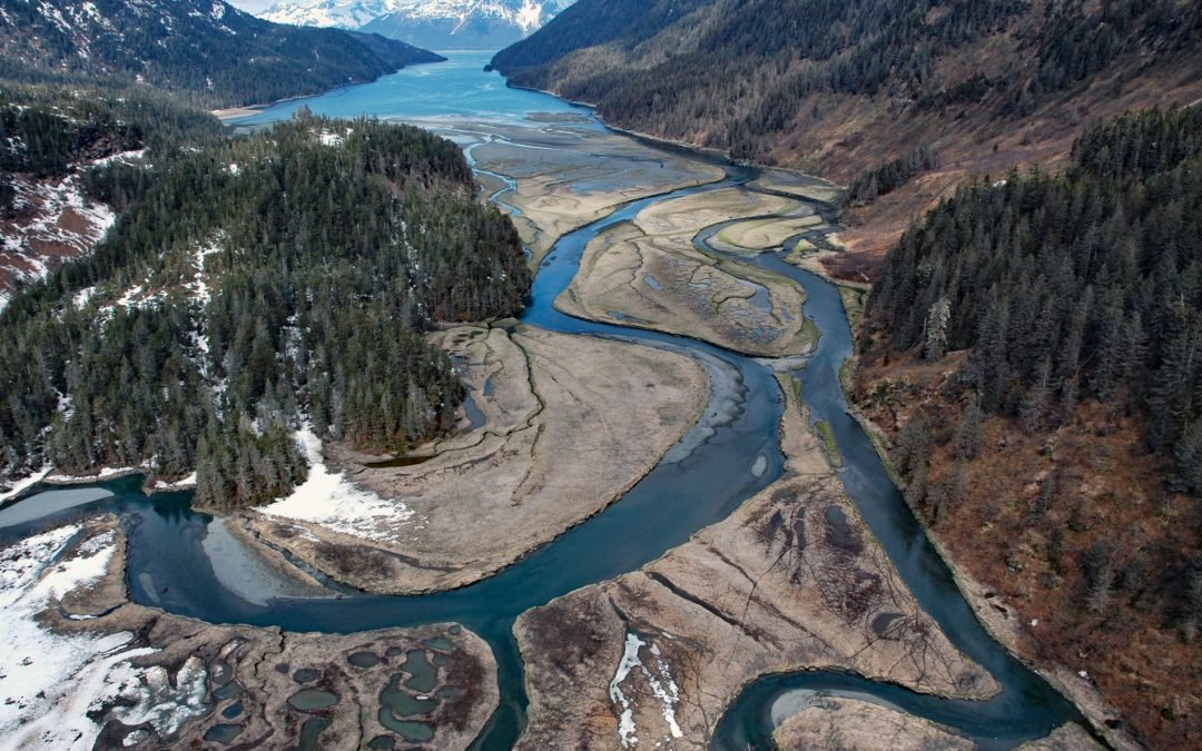
Jack Bay is an estuary surrounded by the Chugach Mountains that extends southeast for 6 miles (10 km) from Valdez Arm in Prince William Sound, about 70 miles (113 km) northeast of Whittier and 12 miles (19 km) southwest of Valdez, Alaska. In 1898, the bay was named by...
by CoastView | Nov 27, 2023 | 2023, Alaska, Coastal Features, Embayments, Islands, Land Use, Natural History, Parks
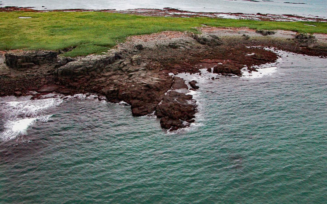
Shaw Island is located in Katmai National Park and Preserve, 2.5 miles (4 km) north of the Alaska Peninsula near the entrance to Kamishak Bay on the western shore of Cook Inlet, about 119 miles (192 km) east-northeast of King Salmon and 79 miles (127 km) southwest of...

by CoastView | Nov 25, 2023 | 2023, Alaska, Developments, Embayments
Broken Oar Cove is an embayment on the southeast coast of Yakutat Bay and the site of a logging operation, about 208 miles (335 km) northwest of Juneau and 3.3 miles (5.3 km) northeast of Yakutat, Alaska. Sawmill Cove is a southern extension of Broken Oar Cove and is...
