
by CoastView | Nov 9, 2023 | 2023, Alaska, Biodiversity, Canneries, Communities, Developments, Embayments, Islands, Land Use, Natural History
Sand Point is a community situated on Humboldt Harbor on the western shore of Popof Island, one of the Shumagin Islands in the Gulf of Alaska off the southern coast of the Alaska Peninsula, about 262 miles (422 km) northeast of Dutch Harbor and 65 miles (105 km)...
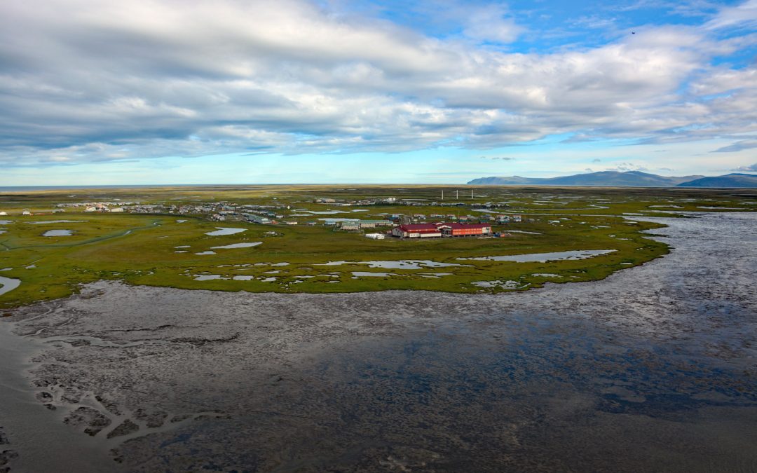
by CoastView | Nov 8, 2023 | 2023, Alaska, Biodiversity, Climate Change, Coastal Features, Communities, Embayments, Land Use, Natural History
Hooper Bay is a Central Yup’ik community located on the northern shore of an embayment also named Hooper Bay in the Bering Sea, between Dall Point to the north and Nuok Spit to the south, about 154 miles (248 km) west-northwest of Bethel and 28 miles (45 km)...
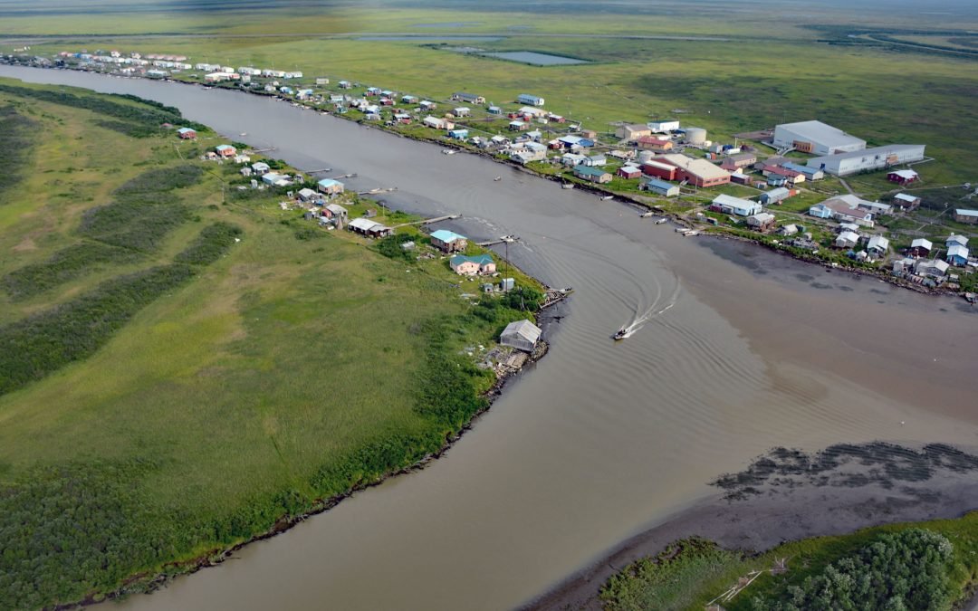
by CoastView | Nov 6, 2023 | 2023, Alaska, Communities, Developments, Land Use, Natural History, Rivers
Kotlik is a Yup’ik community situated on Kotlik Slough, a side channel of Apoon Pass formed by the confluence of the Kotlik and Little Kotlik River in the Yukon River Delta, 6 miles (10 km) inland from Pastol Bay on the southern coast of Norton Sound, about 116...
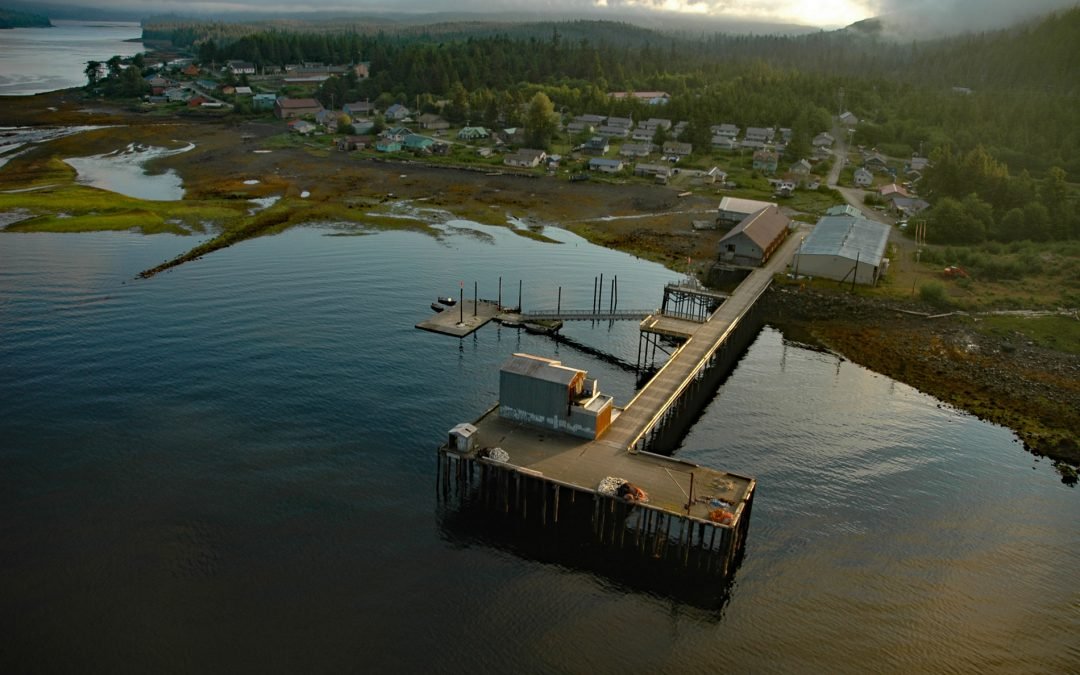
by CoastView | Nov 5, 2023 | 2023, Alaska, Biodiversity, Coastal Features, Communities, Embayments, Islands, Land Use, Natural History
Hydaburg is a community situated on Sukkwan Strait at the northern end of Cordova Bay, opposite Sukkwan Island to the south, on the highly convoluted southwestern coast of Prince of Wales Island in the Alexander Archipelago, about 160 miles (258 km) south-southeast of...

by CoastView | Nov 3, 2023 | 2023, Alaska, Climate Change, Coastal Features, Communities, Land Use, Natural History, Rivers
Quinhagak, or Kwinhagak, is a Central Yup’ik community situated on the Yukon-Kuskokwim Delta near the mouth of the Kanektok River, about 73 miles (118 km) south of Bethel and 45 miles (72 km) north of Goodnews Bay, Alaska. The name is anglicized from the...
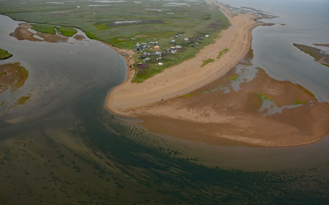
by CoastView | Nov 1, 2023 | 2023, Alaska, Beaches, Biodiversity, Coastal Features, Communities, Embayments, Land Use, Natural History, Rivers
Moses Point is a fish camp, used mostly by residents of Elim, situated at the mouth of the Kwiniuk River on the northern shore of Norton Bay, about 100 miles (160 km) east of Nome and 31 miles (50 km) southwest of Koyuk, Alaska. The name Moses Point also refers to a...