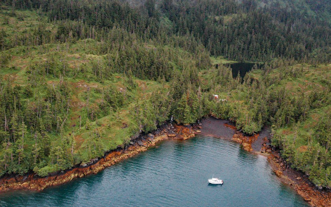
by CoastView | Jun 13, 2026 | 2026, Alaska, Biodiversity, Developments, Embayments, Hatcheries, June 2026, Land Use, Natural History
Listen to the article here https://coastview.org/wp-content/uploads/2026/02/MainBay.mp3 Main Bay is an estuary on the Kenai Peninsula in Prince William Sound, between Port Nellie Juan to the west and Knight Island Passage to the east, about 81 miles (131 km) west of...

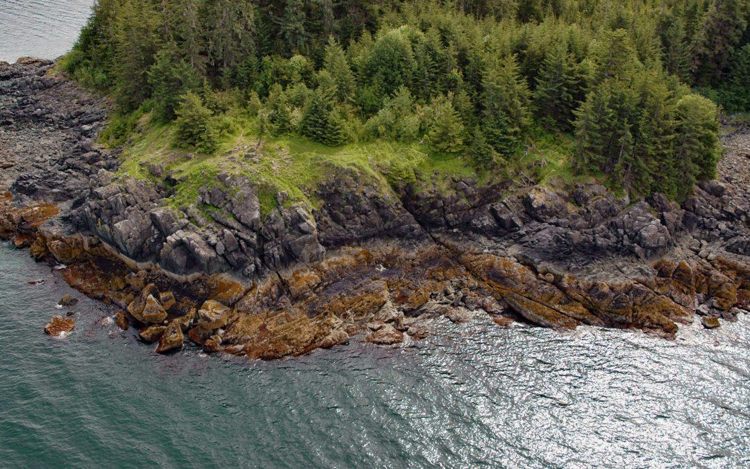
by CoastView | Jun 11, 2026 | 2026, Alaska, Biodiversity, Coastal Features, Embayments, Headlands, June 2026, Kachemak, Land Use, Natural History, Parks
Listen to the article here https://coastview.org/wp-content/uploads/2026/02/PointPogibshi.mp3 Point Pogibshi is a prominent flat-topped grassy headland with rocky sides about 50 feet (15 m) high on the southern shore of Kachemak Bay, roughly 20 miles (23 km) southwest...
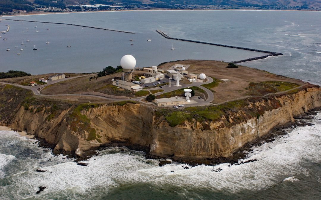
by CoastView | Jun 7, 2026 | 2026, Biodiversity, California, Coastal Features, Developments, Embayments, Headlands, June 2026, Land Use, Natural History
Listen to the article here https://coastview.org/wp-content/uploads/2026/02/PillarPoint.mp3 Pillar Point is a prominent headland forming the northwestern shore of Half Moon Bay, about 20 miles (32 km) south-southwest of San Francisco and 4 miles (6.5 km) northwest of...

by CoastView | Jun 5, 2026 | 2026, Biodiversity, Coastal Features, Headlands, June 2026, Land Use, Natural History, Oregon, Parks
Listen to the article here https://coastview.org/wp-content/uploads/2026/02/CapeFalcon.mp3 Cape Falcon is a headland between Short Sand Beach in Smugglers Cove to the south and Cove Beach to the north, about 23 miles (37 km) north-northwest of Tillamook and 9 miles...

by CoastView | Jun 4, 2026 | 2026, Alaska, Biodiversity, Coastal Features, Embayments, June 2026, Kachemak, Land Use, Natural History, Parks, Rivers
Listen to the article here https://coastview.org/wp-content/uploads/2026/02/ChinaPootCreek.mp3 China Poot Creek starts at an elevation of about 3,500 feet (1,067 m) on the western flank of the Kenai Mountains and flows for 5.6 miles (9 km) to China Poot Lake, also...
by CoastView | Jun 1, 2026 | 2026, Alaska, Biodiversity, Coastal Features, Headlands, Historical, June 2026, Natural History, Shipwrecks
Listen to the article here https://coastview.org/wp-content/uploads/2026/02/PointLena.mp3 Point Lena is located on Favorite Channel, between Point Stephens to the north and Point Louisa to the south, and is the site of a notorious historical shipwreck and the...