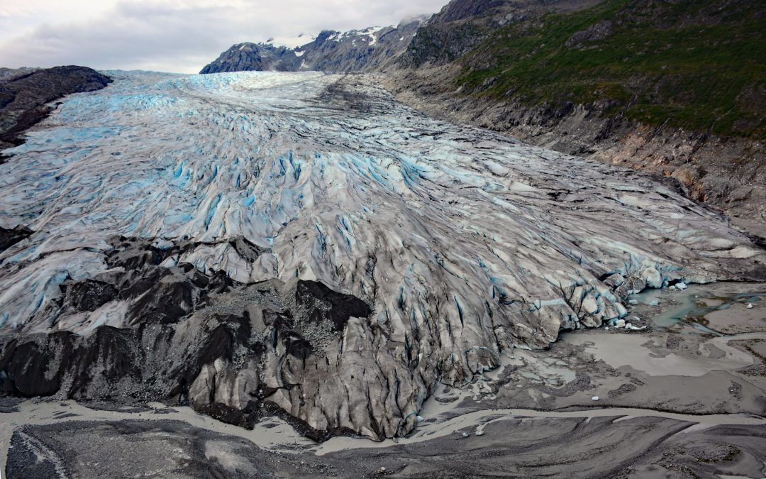
by CoastView | Jan 21, 2025 | 2025, Alaska, Climate Change, Embayments, Glaciers, Historical, Land Use, Mines, Parks
Listen to the article here https://coastview.org/wp-content/uploads/2025/03/Reid-Glacier.mp3 Reid Glacier flows north for 11 miles (18 km) from the Brady Icefield to Reid Inlet in Glacier Bay National Park and Preserve, about 113 miles (182 km) southeast of Yakutat...

by CoastView | Jan 18, 2025 | 2025, British Columbia, Chemical Pollution, Climate Change, Coastal Features, Communities, Developments, Embayments, Glaciers, Historical, Land Use, Mines, Rivers
Listen to the article here https://coastview.org/wp-content/uploads/2025/03/Stewart.mp3 Stewart is a Canadian border community at the mouth of the Bear River and the head of Portland Canal, about 99 miles (159 km) east‑southeast of Wrangell, Alaska and 114 miles (184...
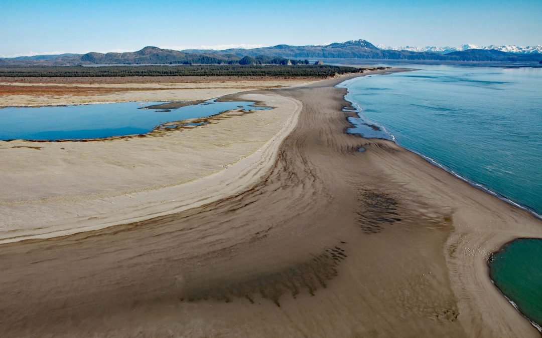
by CoastView | Jan 17, 2025 | 2025, Alaska, Beaches, Biodiversity, Chemical Pollution, Climate Change, Coastal Features, Developments, Historical, Islands, Land Use, Parks
Listen to the article here https://coastview.org/wp-content/uploads/2025/03/Strawberry-Hill.mp3 Strawberry Hill is a series of uplifted beach ridges on Point Bentinck, at the eastern tip of Hinchinbrook Island and the southern entrance to Strawberry Channel, which...
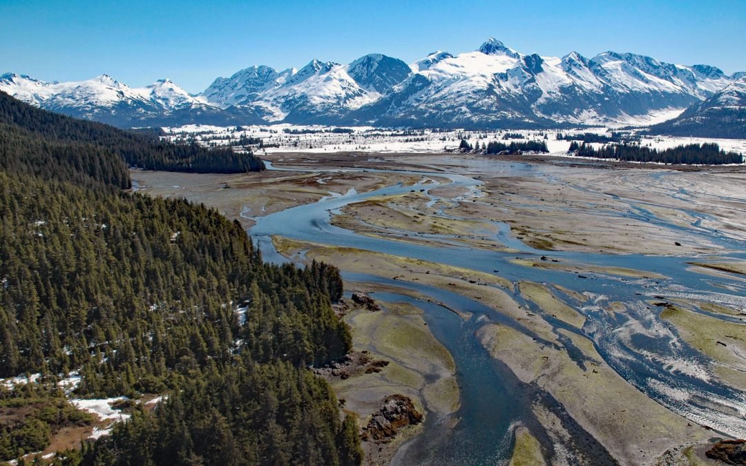
by CoastView | Jan 14, 2025 | 2025, Alaska, Biodiversity, Climate Change, Coastal Features, Glaciers, Historical, Land Use, Mines, Nitrogen Cycle, Parks, Phosphorus, Rivers
Listen to the article here https://coastview.org/wp-content/uploads/2025/03/Coghill-River-1.mp3 The Coghill River in Chugach National Forest flows southwest for 5 miles (8 km) from the terminus of Dartmouth Glacier to Coghill Lake, which is 4.7 miles (7.5 km) long,...

by CoastView | Jan 12, 2025 | 2025, Alaska, Climate Change, Coastal Features, Embayments, Glaciers, Natural History
Listen to the article here https://coastview.org/wp-content/uploads/2025/03/Le-Conte.mp3 Le Conte Glacier starts from the Stikine Icefield in the Coast Mountains of British Columbia, at an elevation of about 8,500 feet (2,591 m) between Devils Thumb and Mount Gilroy,...

by CoastView | Jan 11, 2025 | 2025, Biodiversity, British Columbia, Climate Change, Coastal Features, Communities, Embayments, Historical, Land Use, Parks, Rivers
Listen to the article here https://coastview.org/wp-content/uploads/2025/03/Gilltoyees-Creek.mp3 Gilttoyees Creek originates in a series of cirque basins on the east and south flanks of Tentacle Peak in the Kitimat Ranges, and flows generally southeast for about 20...
