by CoastView | Jan 2, 2025 | 2025, California, Coastal Features, Communities, Developments, Headlands, Historical, Land Use, Lighthouses
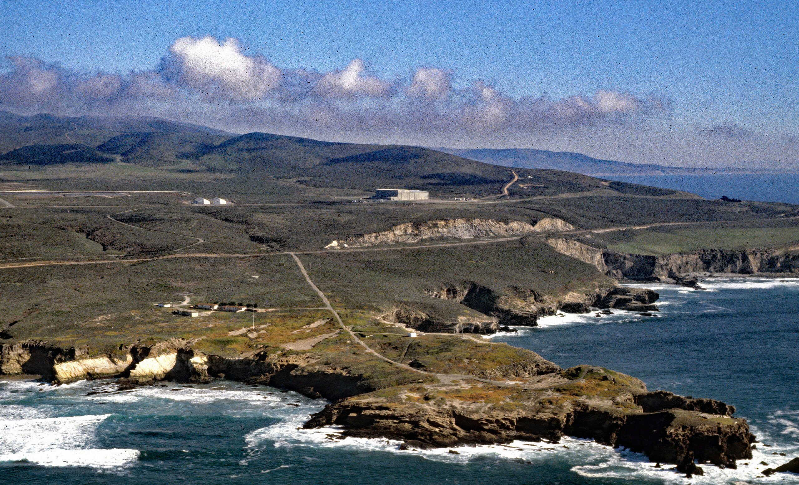
Listen to the article here https://coastview.org/wp-content/uploads/2025/06/Point-Arguello.mp3 Point Arguello is a prominent headland and the site of the Vandenberg Space Launch Complex, as well as a historical cattle ranch, lighthouse station, and Loran station,...
by CoastView | Dec 31, 2024 | 2024, Beaches, Biodiversity, Coastal Features, Developments, Embayments, Historical, Land Use, Natural History, Oregon, Parks
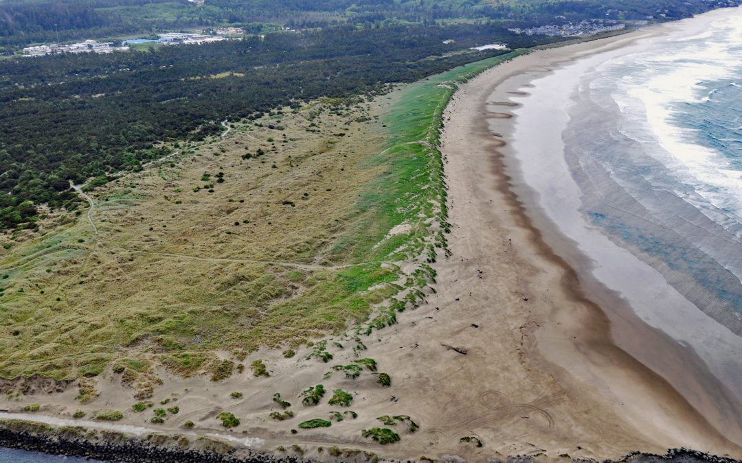
South Beach is a state park south of the jetty protecting the mouth of Yaquina Bay and extending for 1 mile (1.6 km) along the Pacific coast, about 12 miles (19 km) north of Waldport and 2 miles (3.2 km) south-southwest of Newport, Oregon. The beach continues south...
by CoastView | Dec 30, 2024 | 2024, Alaska, Beaches, Canneries, Coastal Features, Communities, Developments, Embayments, Historical, Islands, Land Use
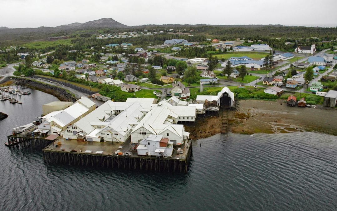
Metlakatla is a Tsimshian community situated on Port Chester, an embayment on the west coast of Annette Island, about 75 miles (121 km) northwest of Prince Rupert and 16 miles (26 km) south-southeast of Ketchikan, Alaska. Port Chester was named for Commander Colby M....
by CoastView | Dec 29, 2024 | 2024, Biodiversity, British Columbia, Climate Change, Coastal Features, Communities, Developments, Embayments, Glaciers, Historical, Land Use, Rivers
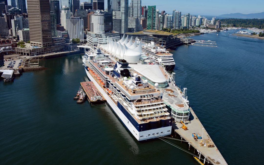
Vancouver is a coastal seaport located on the Burrard Peninsula in the Fraser River Delta, between Burrard Inlet to the north and the Fraser River to the south, about 60 miles (97 km) north-northeast of Victoria and 38 miles (61 km) east-northeast of Nanaimo, British...

by CoastView | Dec 27, 2024 | 2024, Alaska, Biodiversity, Canneries, Coastal Features, Communities, Developments, Embayments, Hatcheries, Historical, Islands, Land Use, Rivers
Loring is a small community at the site of a historical salmon cannery on the west coast of Revillagigedo Island, at the head of Naha Bay and near the mouth of the Naha River, about 66 miles (106 km) south-southeast of Wrangell and 17 miles (27 km) north of Ketchikan,...
by CoastView | Dec 26, 2024 | 2024, Beaches, Biodiversity, California, Coastal Features, Communities, Developments, Headlands, Historical, Land Use, Lighthouses, Parks
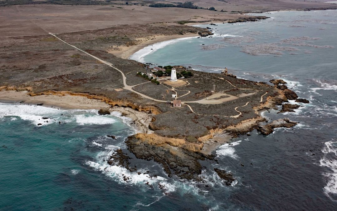
Point Piedras Blancas is a prominent headland and the site of a historic light station within the California Coastal National Monument, and surrounded by the Hearst San Simeon State Park, about 73 miles (117 km) south-southeast of Monterey and 6 miles (10 km)...
