by CoastView | Sep 9, 2023 | 2023, Alaska, Embayments, Rivers
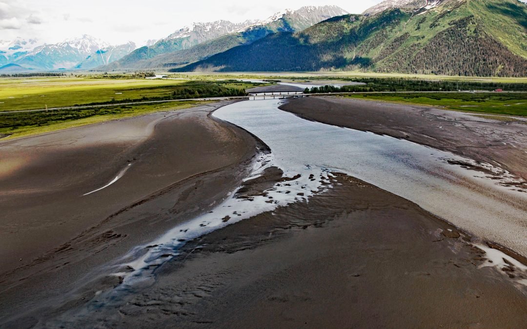
Twentymile River starts from a series of small unnamed glaciers and snowfields in the western Chugach Mountains and flows generally south for 10 miles (16 km) where it joins Glacier River, and then flows another 5 miles (8 km) southwest to Turnagain Arm, about 12...
by CoastView | Sep 7, 2023 | 2023, Alaska, Embayments, Rivers
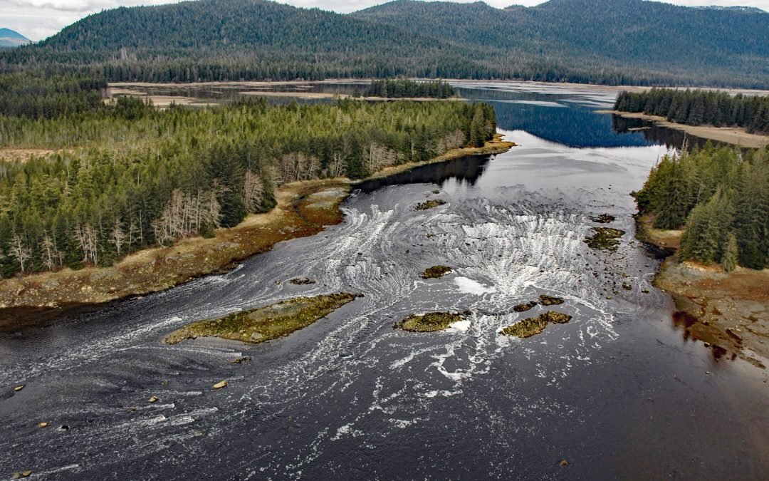
North Arm Salt Chuck is at the head of North Arm, an estuary about 5 miles (8 km) long at the end of Duncan Canal on Kupreanof Island, about 110 miles (177 km) southeast of Juneau and 13 miles (21 km) west of Petersburg, Alaska. The local name was recorded in 1960 by...
by CoastView | Sep 4, 2023 | 2023, Alaska, Embayments, Glaciers
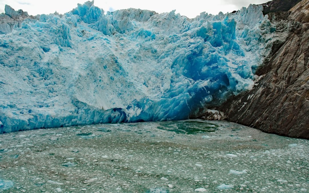
South Sawyer Glacier starts in British Columbia and flows northwest for 31 miles (50 km) to the head of Tracy Arm, about 73 miles (118 km) north of Petersburg and 56 miles (90 km) southeast of Juneau, Alaska. The glacier was named in 1889 by Commander H.B. Mansfield...
by CoastView | Sep 2, 2023 | 2023, Alaska, Embayments, Rivers
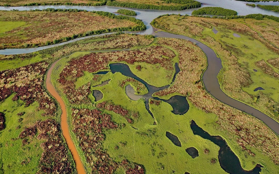
Dam Creek flows south for 5 miles (8 km) from the southwest flank of Mount Iliamna to merge with West Glacier Creek near the head of Chinitna Bay, about 62 miles (100 km) northwest of Homer and 44 miles (71 km) southeast of Port Alsworth, Alaska. The local name was...
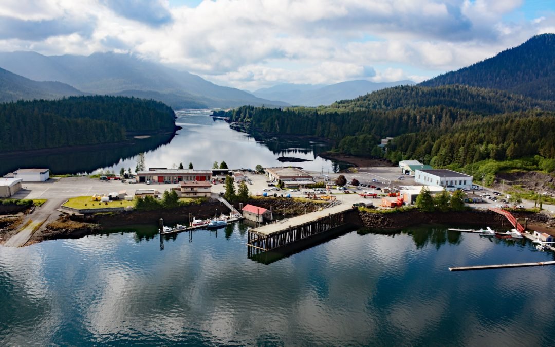
by CoastView | Sep 2, 2023 | 2023, British Columbia, Communities, Developments, Embayments
Aero Point is on the eastern shore of Seal Cove, a small embayment in Prince Rupert Harbour on the north coast of Kaien Island, at the entrance to Fern Passage, about 90 miles (145 km) southeast of Ketchikan and 2 miles (3.2 km) northeast of downtown Prince Rupert,...
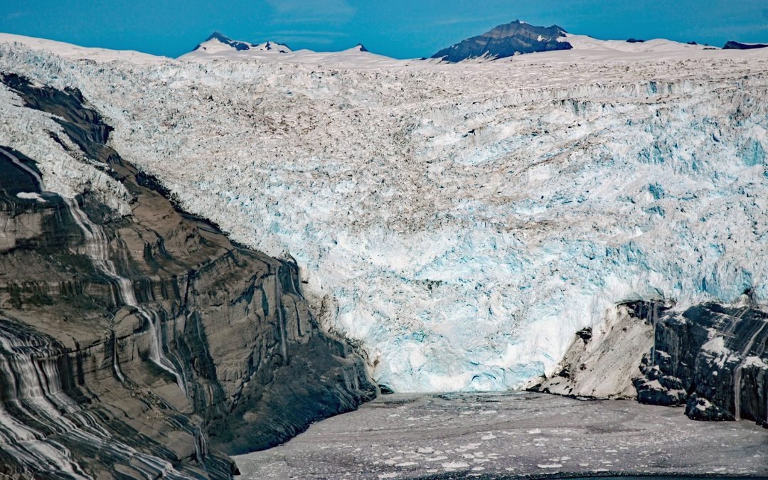
by CoastView | Sep 1, 2023 | 2023, Alaska, Embayments, Glaciers
Tsaa Glacier flows about 8 miles (13 km) southeast from the northeast flank of the Robinson Mountains and terminates in Tsaa Fjord, on the western coast of Icy Bay, about 147 miles (237 km) east-southeast of Cordova and 75 miles (121 km) northwest of Yakutat, Alaska....