by CoastView | Sep 8, 2026 | 2026, British Columbia, Communities, Developments, Embayments, September 2026
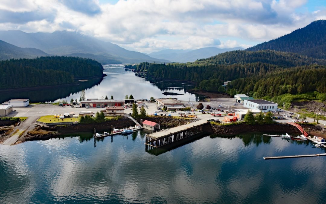
Listen to the article here https://coastview.org/wp-content/uploads/2026/08/AeroPoint.mp3 Aero Point sits on the eastern shore of Seal Cove, a small embayment in Prince Rupert Harbour on the north coast of Kaien Island, at the entrance to Fern Passage, about 90 miles...
by CoastView | Sep 7, 2026 | 2026, Alaska, Embayments, Glaciers, September 2026
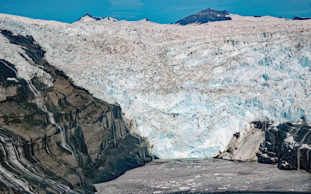
Listen to the article here https://coastview.org/wp-content/uploads/2026/08/TsaaGlacier.mp3 Tsaa Glacier flows about 8 miles (13 km) southeast from the northeastern flank of the Robinson Mountains and terminates in Tsaa Fjord, on the western shore of Icy Bay, some 147...

by CoastView | Sep 6, 2026 | 2026, Alaska, Embayments, Islands, September 2026
Listen to the article here https://coastview.org/wp-content/uploads/2026/08/FairwayIsland.mp3 Fairway Island lies off the southeastern coast of Kuiu Island, in Sumner Strait at the entrance to Affleck Canal, about 86 miles (139 km) southeast of Sitka and 71 miles (115...

by CoastView | Sep 5, 2026 | 2026, California, Coastal Features, Embayments, September 2026
Listen to the article here https://coastview.org/wp-content/uploads/2026/08/SeaLionCove.mp3 Sea Lion Cove lies on the Mendocino coast just south of Point Arena, about 16 miles (26 km) northwest of Gualala and three miles (4.8 km) southwest of Manchester, California....

by CoastView | Sep 4, 2026 | 2026, Alaska, Embayments, Glaciers, September 2026
Listen to the article here https://coastview.org/wp-content/uploads/2026/08/LituyaGlacier.mp3 Lituya Glacier rises on the south flank of Mount Wilbur in the Fairweather Range and flows west for eight miles (13 km) to Desolation Valley, then turns southeast and...

by CoastView | Sep 1, 2026 | 2026, British Columbia, Communities, Embayments, Historical, September 2026
Listen to the article here https://coastview.org/wp-content/uploads/2026/08/Pleasantside.mp3 Pleasantside is a residential neighborhood on the shore of the arm of Burrard Inlet known as Port Moody, about 12 miles (19 km) east of Vancouver and 1.5 miles (2.4 km)...