
by CoastView | Feb 4, 2024 | 2024, Beaches, Biodiversity, California, Coastal Features, Embayments, Land Use, Natural History, Rivers
Estero Americano is an estuary about 4 miles (6.5 km) long that connects to Bodega Bay and is fed by Americano Creek that starts at an elevation of roughly 250 feet (76 m) in the coastal hills of Sonoma and Marin Counties and flows west for 11 miles (18 km) draining a...
by CoastView | Feb 3, 2024 | 2024, Beaches, Communities, Developments, Embayments, Historical, Land Use, Natural History, Washington
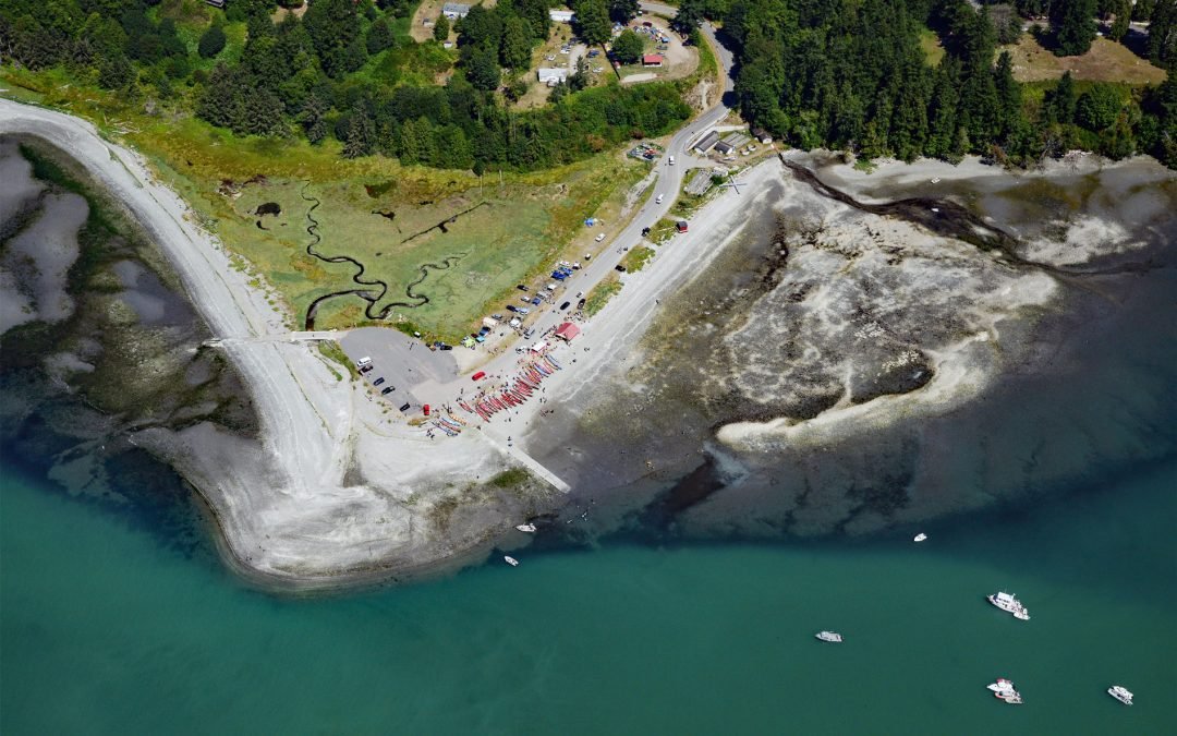
Little Boston is a community at the base of Point Julia on the east side entrance of Port Gamble, an inlet on the Kitsap Peninsula near the entrance to Hood Canal, about 21 miles (34 km) northwest of Seattle and 20 miles (32 km) southeast of Port Townsend, Washington....
by CoastView | Feb 1, 2024 | 2024, Alaska, Biodiversity, Coastal Features, Embayments, Land Use, Natural History, Parks
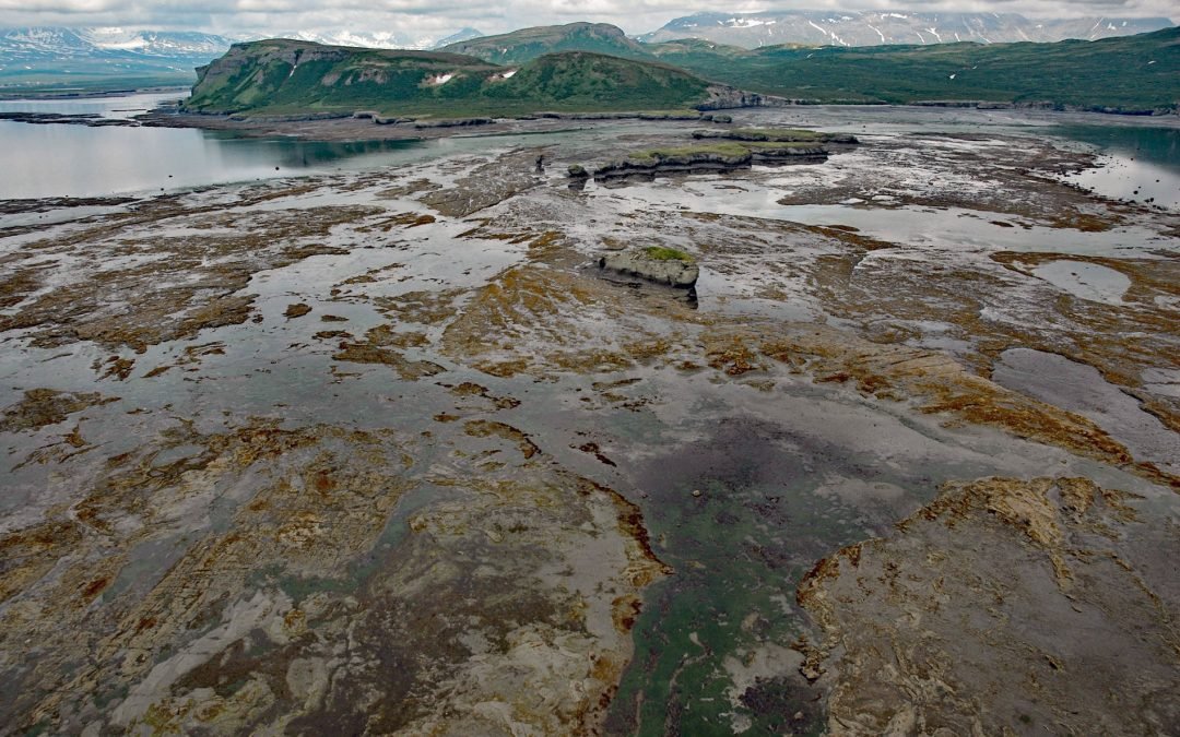
Amakdedulia Cove is an embayment about 2 miles (3.2 km) across on the western shore of Kamishak Bay in southwestern Cook Inlet, about 98 miles (158 km) northeast of King Salmon and 98 miles (158 km) southwest of Homer, Alaska. The name was reported in 1923 by K.F....

by CoastView | Jan 31, 2024 | 2024, British Columbia, Embayments, Land Use, Natural History, Parks, Rivers
Kitlope River starts from the Kitimat Ranges and flows generally northwest to the head of Gardner Canal, about 125 miles (202 km) southeast of Prince Rupert and 75 miles (121 km) north of Bella Bella, British Columbia. The Kitlope Valley and the river are named for...

by CoastView | Jan 29, 2024 | 2024, Alaska, Biodiversity, Canneries, Coastal Features, Embayments, Islands, Land Use, Natural History
Washington Bay trends east for 2 miles (3.2 km) on the northwest coast of Kuiu Island and is the site of a historical herring reduction facility near the head of the bay that is flanked by steep mountains rising abruptly to 2,800 feet (853 m) on the north and 2,200...

by CoastView | Jan 27, 2024 | 2024, Biodiversity, British Columbia, Coastal Features, Communities, Developments, Embayments, Islands, Land Use, Mines, Natural History
Blubber Bay is a community and an embayment on the northern tip of Texada Island, between the Strait of Georgia to the west and Malaspina Strait to the east, and the site of a historical shore whaling station and present-day limestone mine, about 76 miles (122 km)...
