by CoastView | Feb 16, 2024 | 2024, Alaska, Biodiversity, Communities, Embayments, Land Use, Natural History, Rivers
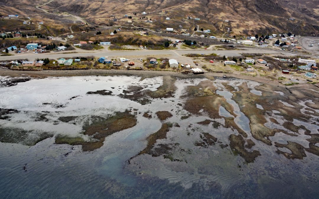
Chignik Lagoon is an embayment that trends southwest for 8.5 miles (14 km) from the head of Chignik Bay to the mouth of Chignik River on the Gulf of Alaska coast of the Alaska Peninsula, about 45 miles (73 km) south of Port Heiden and 5 miles (8 km) west-northwest of...

by CoastView | Feb 15, 2024 | 2024, Biodiversity, British Columbia, Coastal Features, Embayments, Islands, Land Use, Natural History
Halibut Island is about 0.4 miles (0.7 km) long and 0.1 miles (0.2 km) wide and 9.67 acres (3.9 ha), located off the east coast of Sidney Island in Haro Strait, about 14 miles (23 km) north-northeast of Victoria and 6 miles (10 km) east-southeast of Sidney, British...
by CoastView | Feb 13, 2024 | 2024, Alaska, Biodiversity, Coastal Features, Embayments, Land Use, Natural History, Rivers
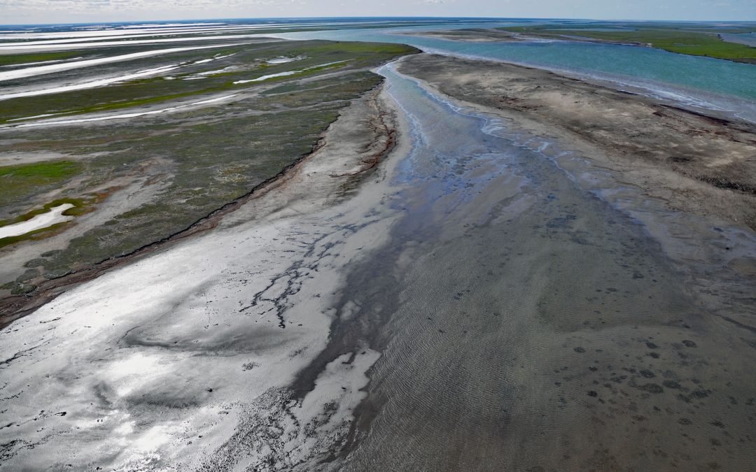
Kupigruak Channel is one of two main distributaries in the Colville River Delta located about halfway between Utqiagvik at Point Barrow to the west and Kaktovik on Barter Island to the east, about 52 miles (84 km) west-northwest of Deadhorse and 18 miles (29 km)...
by CoastView | Feb 12, 2024 | 2024, Alaska, Beaches, Biodiversity, Canneries, Coastal Features, Communities, Embayments, Land Use, Natural History, Rivers
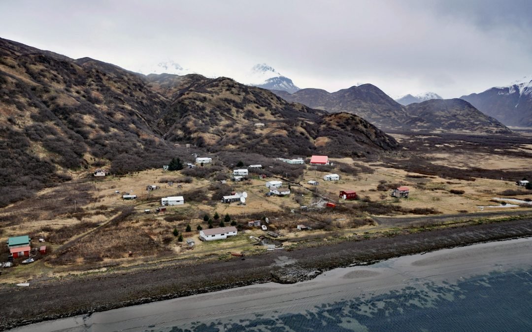
Ivanof Bay is a community on the Alaska Peninsula at the head of Ivanof Bay, an estuary of the Ivanof River that starts at an elevation of roughly 1000 feet (305 m) on the south flank of the Alaska Peninsula and flows generally southwest for 9 miles (15 km) draining a...
by CoastView | Feb 8, 2024 | 2024, Alaska, Biodiversity, Coastal Features, Embayments, Islands, Land Use, Natural History, Rivers
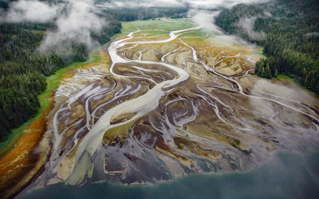
Deep Bay is an estuary about 0.5 miles (0.8 km) across, located on the western shore of Peril Strait, on the southern coast of Chichagof Island, about 74 miles (119 km) southwest of Juneau and 29 miles (47 km) northwest of Sitka, Alaska. The name is a translation by...

by CoastView | Feb 7, 2024 | 2024, Alaska, Biodiversity, Coastal Features, Embayments, Land Use, Natural History, Parks, Rivers, Waterfalls
Paint River starts at the confluence of the Middle and South Forks and flows generally east for 17 miles (27 km), draining a watershed of 40,854 acres (16,533 ha), to Akjemguiga Cove in Kamishak Bay between McNeil Cove to the south and Amakdedulia Cove to the north,...
