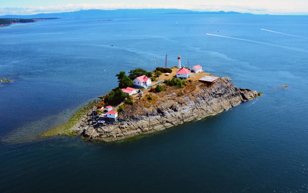
by CoastView | Mar 6, 2024 | 2024, British Columbia, Coastal Features, Developments, Embayments, Islands, Land Use, Lighthouses, Natural History
Chrome Island is located 0.15 miles (0.24 km) south of Boyle Point Provincial Park, on the southern tip of Denman Island, and is the site of a historic lighthouse that marks the southern entrance to Baynes Sound, about 72 miles (116 km) west-northwest of Vancouver and...
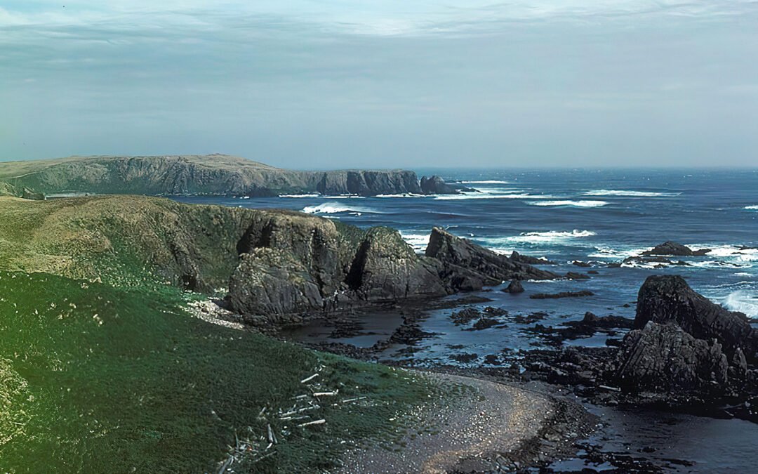
by CoastView | Mar 5, 2024 | 2024, Alaska, Beaches, Biodiversity, Coastal Features, Embayments, Historical, Islands, Land Use, Natural History
Makarius Bay is on the southeastern coast of Amchitka Island, the southernmost of the Rat Islands group in the Aleutian Islands of Southwest Alaska, bounded by the Bering Sea to the north and the Pacific Ocean to the south, about 2500 miles (4024 km) north-northwest...
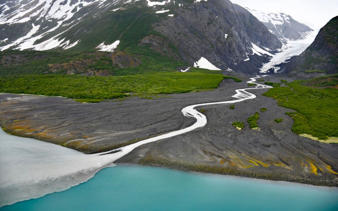
by CoastView | Mar 4, 2024 | 2024, Alaska, Beaches, Biodiversity, Climate Change, Coastal Features, Embayments, Glaciers, Land Use, Natural History, Parks
Dinglestadt Glacier has two land terminating lobes that straddle a watershed divide in the Kenai Mountains, with a minor lobe descending southeast for 4 miles (6 km) from an elevation of roughly 3300 feet (1006 m) to a tidal delta on the western shore of McCarty...
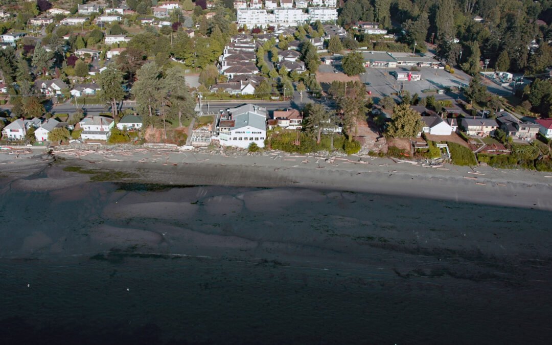
by CoastView | Mar 3, 2024 | 2024, Beaches, Biodiversity, British Columbia, Communities, Developments, Embayments, Islands, Land Use, Natural History
Cordova Bay is a shallow bight and a community located on the eastern shore of the Saanich Peninsula in the municipality of Saanich, one of the 13 cities comprising the Greater Victoria Region on Vancouver Island, about 9 miles (14.5 km) south-southeast of Sidney and...
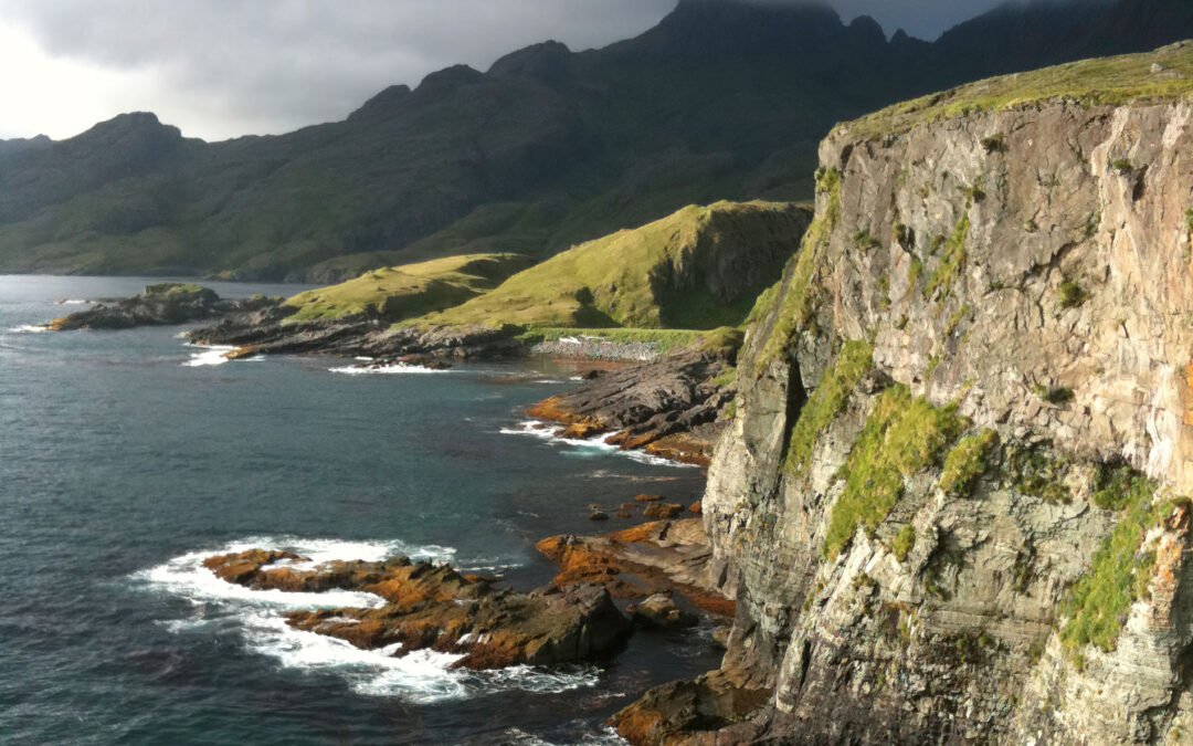
by CoastView | Mar 1, 2024 | 2024, Alaska, Biodiversity, Coastal Features, Developments, Embayments, Islands, Land Use, Natural History
Boot Bay is 3 miles (5 km) west of Kagalaska Strait on the south coast of Adak Island, the site of intensive military activity from 1942 to 1997, near the western extent of the Andreanof Islands group of the Aleutian Islands, about 443 miles (713 km) southwest of...

by CoastView | Feb 27, 2024 | 2024, Alaska, Coastal Features, Embayments, Glaciers, Land Use, Natural History, Parks
McBride Glacier starts from a series of cirques at elevations near 5500 feet (1676 m) on the southern flank of the Takhinsha Mountains in Glacier Bay National Park and Preserve and flows generally south for roughly 10 miles (16 km) to McBride Inlet which connects to...