by CoastView | Oct 14, 2025 | 2025, Biodiversity, California, Coastal Features, Communities, Developments, Freshwater, Historical, Land Use, Natural History, October 2025, Rivers
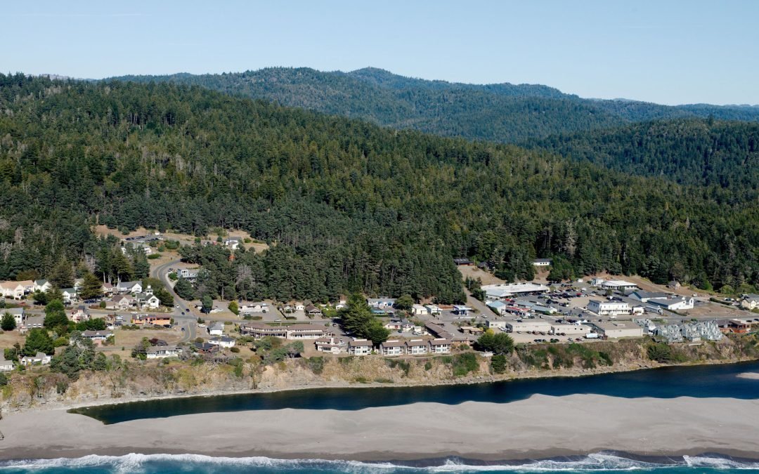
Listen to the article here https://coastview.org/wp-content/uploads/2025/06/Gualala-River.mp3 The Gualala River flows into the Pacific Ocean at the community of Gualala, approximately 92 miles (148 km) northwest of San Francisco and 40 miles (64 km) south-southeast of...
by CoastView | Jul 29, 2025 | 2025, Beaches, Biodiversity, California, Chemical Pollution, Coastal Features, Freshwater, Historical, Land Use, Natural History, Rivers
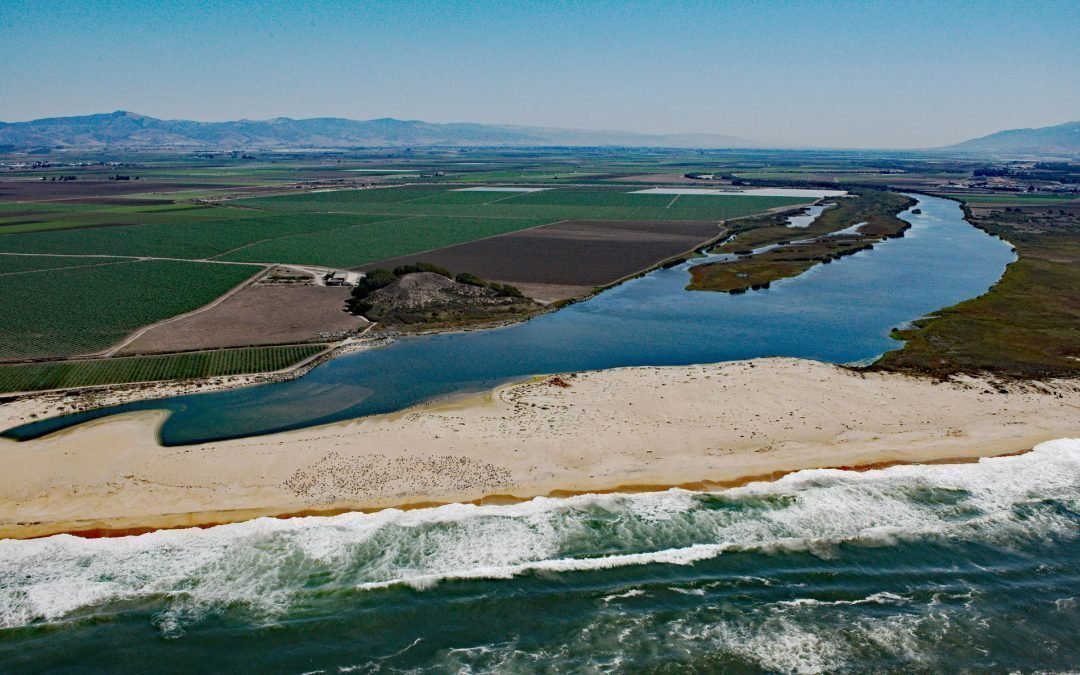
Listen to the article here https://coastview.org/wp-content/uploads/2025/06/Salinas-River.mp3 The Salinas River begins in the central California Coast Ranges and flows 175 miles (282 km) generally northwest to Monterey Bay, approximately 12 miles (19 km)...
by CoastView | Mar 19, 2025 | 2025, Beaches, Biodiversity, California, Chemical Pollution, Coastal Features, Developments, Freshwater, Historical, Land Use, Natural History, Parks, Rivers
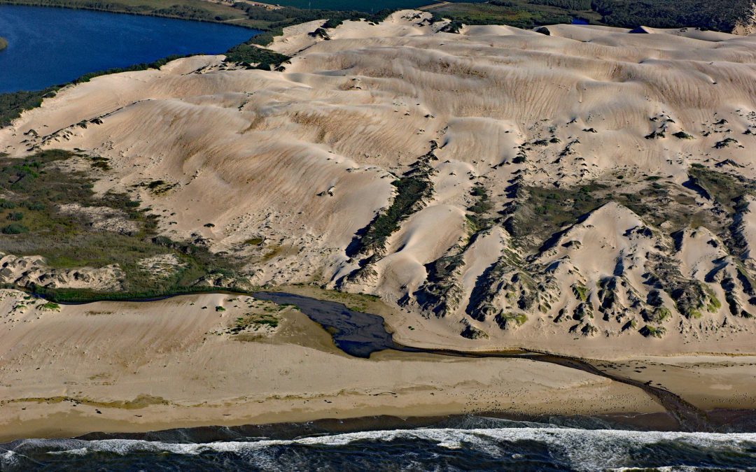
Listen to the article here https://coastview.org/wp-content/uploads/2025/03/Oso-Flaco.mp3 Oso Flaco Creek drains a watershed of approximately 7,400 acres (2,995 ha) consisting mostly of agricultural land before forming Oso Flaco Lake, now part of the Oso Flaco Lake...

by CoastView | Feb 3, 2025 | 2025, Alaska, Climate Change, Coastal Features, Embayments, Freshwater, Glaciers, Historical
Listen to the article here https://coastview.org/wp-content/uploads/2025/03/Yale.mp3 Yale Glacier is a massive tidewater glacier in College Fjord, Prince William Sound, that originates at an elevation of 9,270 feet (2,826 m) between Mount Cardozo and Mount Einstein in...

by CoastView | Jan 29, 2025 | 2025, Beaches, Biodiversity, California, Chemical Pollution, Coastal Features, Communities, Developments, Freshwater, Historical, Land Use, Parks
Listen to the article here https://coastview.org/wp-content/uploads/2025/03/Lobos-1.mp3 Lobos Creek is a stream in the Presidio of San Francisco, draining urban runoff and underground springs and flowing intermittently west for 1 mile (1.6 km) from near Mountain Lake...

by CoastView | Jan 25, 2025 | 2025, Biodiversity, British Columbia, Climate Change, Coastal Features, Communities, Developments, Embayments, Freshwater, Historical, Land Use, Rivers
Listen to the article here https://coastview.org/wp-content/uploads/2025/03/Cowichan.mp3 Cowichan Bay is a community located on the south shore of an estuary formed by the Cowichan and Koksilah rivers, which create an extensive tidal flat on the east coast of southern...