
by CoastView | Feb 26, 2026 | 2026, Best of 2025, British Columbia, Developments, Embayments, February 2026, Land Use, Mines, Natural History
Listen to the article here https://coastview.org/wp-content/uploads/2026/01/IslandCopperMine.mp3 Island Copper was an open pit mine at the northern end of Vancouver Island on Rupert Inlet at the head of Quatsino Sound, about 4.6 miles (7.4 km) east of Coal Harbour and...
by CoastView | Feb 3, 2026 | 2026, Alaska, Developments, Embayments, February 2026, Historical, Islands, Land Use, Mines
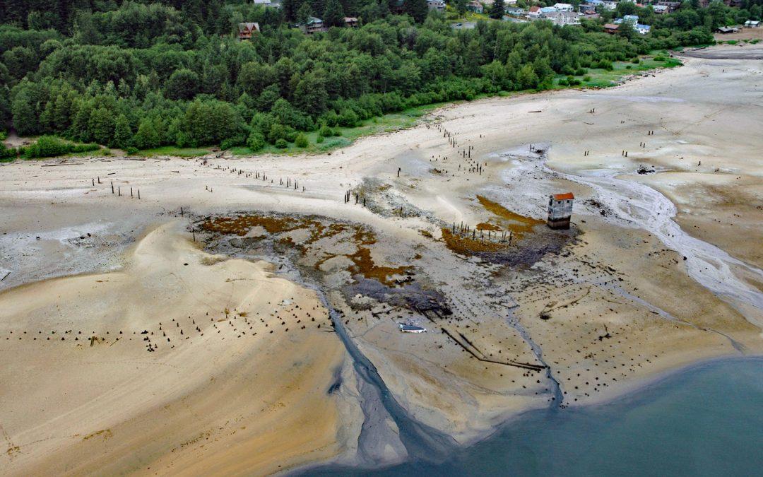
Listen to the article here https://coastview.org/wp-content/uploads/2026/01/TreadwellMine.mp3 Treadwell is a historical gold mine on the eastern coast of Douglas Island on Gastineau Channel, about 1.2 miles (1.9 km) south-east of the community of Douglas and 3 miles...

by CoastView | Jan 4, 2026 | 2026, Alaska, Chemical Pollution, Coastal Features, Developments, January 2026, Land Use, Mines
Listen to the article here https://coastview.org/wp-content/uploads/2025/12/RedDogMine.mp3 Red Dog is a zinc and lead mine located about 46 miles (74 km) inland from the Chukchi Sea coast in the DeLong Mountains, approximately 62 miles (100 km) northwest of Kotzebue...

by CoastView | Dec 22, 2025 | 2025, Alaska, Coastal Features, December 2025, Developments, Embayments, Historical, Land Use, Mines
Listen to the article here https://coastview.org/wp-content/uploads/2025/12/RossAdams.mp3 The Ross Adams Mine is a historical uranium-thorium site located on Kendrick Bay in the Tongass National Forest on the southeastern slopes of Bokan Mountain, about 33 miles (53...

by CoastView | Dec 20, 2025 | 2025, California, Coastal Features, Communities, December 2025, Developments, Embayments, Historical, Land Use, Mines, Rivers
Listen to the article here https://coastview.org/wp-content/uploads/2025/12/OceanRoar.mp3 Ocean Roar is a small cluster of buildings located at the mouth of Walker Creek on Tomales Bay, about 2.3 miles (3.7 km) southwest of Tomales and 16 miles (26 km) west of...
by CoastView | Nov 5, 2025 | 2025, Alaska, Communities, Developments, Embayments, Land Use, Mines, November 2025, Rivers
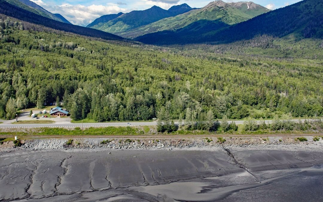
Listen to the article here https://coastview.org/wp-content/uploads/2025/07/Indian-Valley.mp3 Indian is an Alaska Railroad siding and small community at the entrance to a deep valley on the northern shore of Turnagain Arm, about 21 miles (34 km) northwest of Portage...