by CoastView | Oct 11, 2023 | 2023, Alaska, Beaches, Biodiversity, Coastal Features, Embayments, Land Use, Mines, Natural History, Parks, Rivers
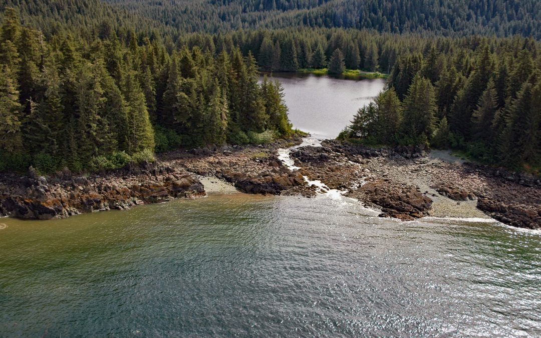
Peterson Lagoon is the estuary of Peterson Creek that starts from the outlet of Peterson Lake at an elevation of 734 feet (224 m) on Auke Mountain and flows north-northwest for 4 miles (7 km) to the lagoon that connects to Eagle Harbor, about 56 miles (90 km)...
by CoastView | Oct 6, 2023 | 2026, Alaska, Communities, Historical, Land Use, Mines, October 2026, Rivers
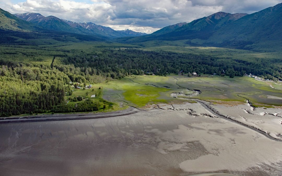
Listen to the article here https://coastview.org/wp-content/uploads/2026/08/Hope.wav Hope is a historic community on the Kenai Peninsula at the mouth of Resurrection Creek, on the south shore of Turnagain Arm in upper Cook Inlet, about 22 miles (35 km) southeast of...
by CoastView | Oct 2, 2023 | 2026, Alaska, Communities, Historical, Mines, October 2026, Rivers
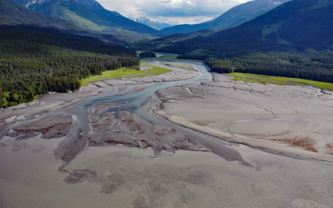
Listen to the article here https://coastview.org/wp-content/uploads/2026/08/SixmileCreek.mp3 Sixmile Creek flows north for about 8 miles (13 km) on the Kenai Peninsula to the historic community of Sunrise, on the south shore of Turnagain Arm, roughly 27 miles (43 km)...
by CoastView | Sep 29, 2023 | 2026, Alaska, Developments, Embayments, Historical, Land Use, Mines, October 2026
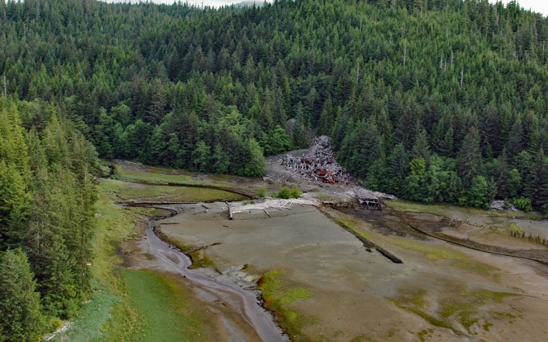
Listen to the article here https://coastview.org/wp-content/uploads/2026/08/SaltChuckMine.mp3 Salt Chuck is a historic mining site at the head of Kasaan Bay, on the east coast of Prince of Wales Island, about 39 miles (63 km) northwest of Ketchikan and 4.5 miles (7.2...
