
by CoastView | Apr 18, 2025 | 2025, Alaska, Beaches, Coastal Features, Embayments, Historical, Kachemak, Land Use, Mines, Natural History, Rivers
Listen to the article here https://coastview.org/wp-content/uploads/2025/04/McNeil-Canyon.mp3 McNeil Canyon is located on the Kenai Peninsula, along the northern shore of Kachemak Bay, and trends south for about 2 miles (3.2 km) along the lower course of McNeil Creek,...

by CoastView | Apr 14, 2025 | 2025, Alaska, Beaches, Climate Change, Coastal Features, Embayments, Glaciers, Historical, Mines, Rivers
Listen to the article here https://coastview.org/wp-content/uploads/2025/04/Baird-Glacier.mp3 Baird Glacier originates in the Stikine Icefield in the Boundary Ranges near the Alaska–British Columbia border and flows southwest for 24 miles (39 km) to an outwash plain 2...

by CoastView | Apr 10, 2025 | 2025, Alaska, Biodiversity, Coastal Features, Developments, Embayments, Historical, Land Use, Mines, Natural History
Listen to the article here https://coastview.org/wp-content/uploads/2025/04/Square-Rock.mp3 Square Rock is a marble pillar formed from an eroding sea stack, about 200 feet (60 m) offshore from the eastern end of Bluff Cliffs on the south coast of the Seward Peninsula...
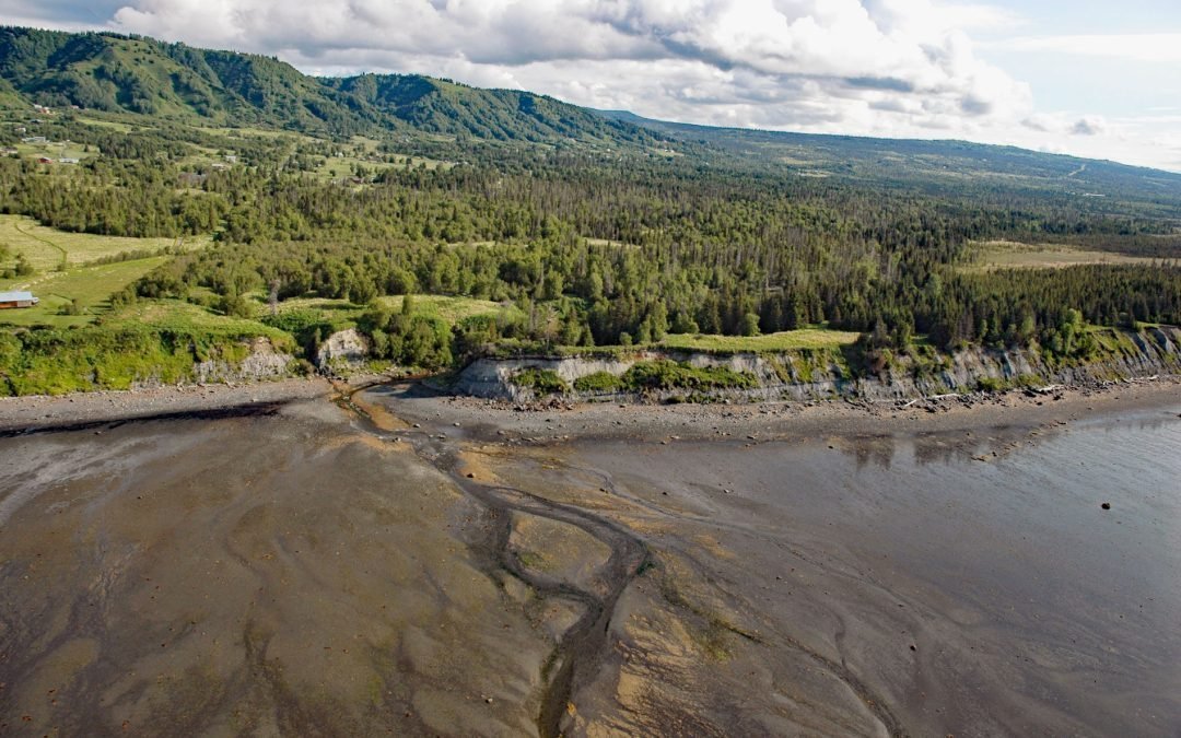
by CoastView | Apr 4, 2025 | 2025, Alaska, Biodiversity, Coastal Features, Communities, Embayments, Historical, Kachemak, Land Use, Mines, Natural History, Rivers
Listen to the article here https://coastview.org/wp-content/uploads/2025/05/Fritz-Creek.mp3 Fritz Creek is a stream on the Kenai Peninsula that starts from a watershed divide between Lookout Mountain to the south and Bald Mountain to the north and flows generally...

by CoastView | Mar 17, 2025 | 2025, Biodiversity, British Columbia, Chemical Pollution, Climate Change, Coastal Features, Embayments, Historical, Land Use, Mines
Listen to the article here https://coastview.org/wp-content/uploads/2025/03/Hastings.mp3 Hastings Arm extends 14 miles (23 km) north from Observatory Inlet into the Coast Mountains and terminates at the mouth of the Kshwan River, about 23 miles (37 km) south‐southeast...
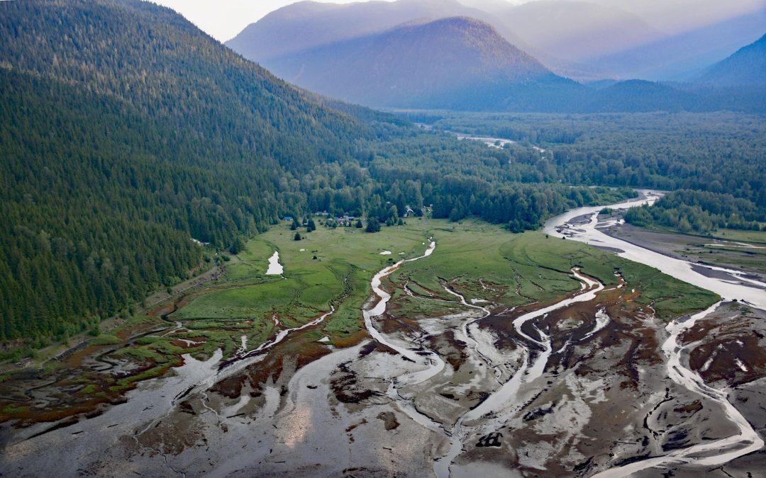
by CoastView | Mar 10, 2025 | 2025, Biodiversity, British Columbia, Chemical Pollution, Climate Change, Communities, Developments, Embayments, Historical, Land Use, Mines, Rivers
Listen to the article here https://coastview.org/wp-content/uploads/2025/03/Alice-Arm.mp3 Kitsault River drains a watershed of about 113,668 acres (46,000 ha), that includes the Kitsault Glacier and several smaller glaciers that flow out of the Cambria Icefield, and...