by CoastView | Feb 1, 2025 | 2025, British Columbia, Communities, Historical, Land Use, Rivers
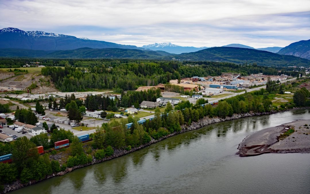
Listen to the article here https://coastview.org/wp-content/uploads/2025/03/Terrace.mp3 Terrace, a community at the confluence of the Skeena and Kitsumkalum Rivers, lies about 71 miles (114 km) east-northeast of Prince Rupert and 64 miles (103 km) southwest of...

by CoastView | Jan 26, 2025 | 2025, Alaska, Biodiversity, Canneries, Coastal Features, Developments, Embayments, Hatcheries, Historical, Land Use, Rivers
Listen to the article here https://coastview.org/wp-content/uploads/2025/03/Little-Port-Walter.mp3 Little Port Walter is an embayment and research facility on the southern shore of Port Walter, situated on the southeastern coast of Baranof Island and the western shore...

by CoastView | Jan 25, 2025 | 2025, Biodiversity, British Columbia, Climate Change, Coastal Features, Communities, Developments, Embayments, Freshwater, Historical, Land Use, Rivers
Listen to the article here https://coastview.org/wp-content/uploads/2025/03/Cowichan.mp3 Cowichan Bay is a community located on the south shore of an estuary formed by the Cowichan and Koksilah rivers, which create an extensive tidal flat on the east coast of southern...

by CoastView | Jan 24, 2025 | 2025, Alaska, Atmospheric Aerosols, Biodiversity, Chemical Pollution, Coastal Features, Communities, Developments, Embayments, Historical, Land Use, Rivers
Listen to the article here https://coastview.org/wp-content/uploads/2025/03/Eagle-River.mp3 Eagle River Flats is a 2,471‐acre (1,000 ha) tidal flat and salt marsh at the mouth of Eagle River on Eagle Bay, on the eastern shore of Knik Arm at Joint Base...

by CoastView | Jan 18, 2025 | 2025, British Columbia, Chemical Pollution, Climate Change, Coastal Features, Communities, Developments, Embayments, Glaciers, Historical, Land Use, Mines, Rivers
Listen to the article here https://coastview.org/wp-content/uploads/2025/03/Stewart.mp3 Stewart is a Canadian border community at the mouth of the Bear River and the head of Portland Canal, about 99 miles (159 km) east‑southeast of Wrangell, Alaska and 114 miles (184...
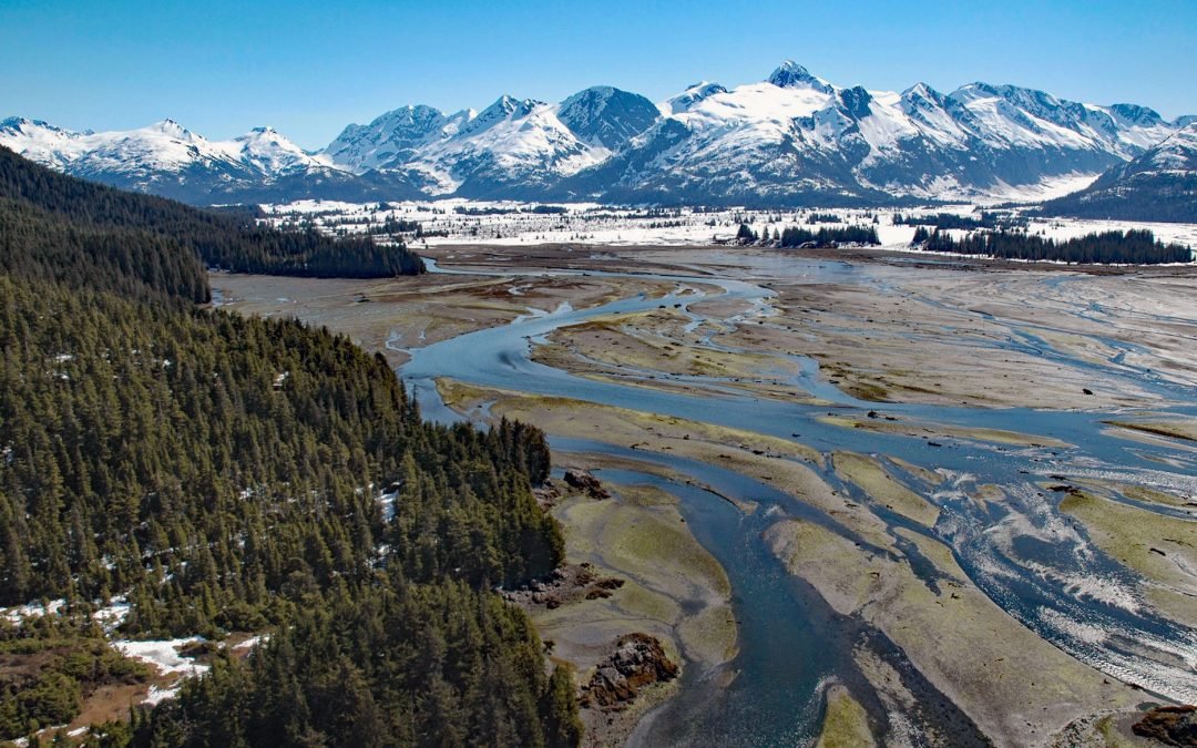
by CoastView | Jan 14, 2025 | 2025, Alaska, Biodiversity, Climate Change, Coastal Features, Glaciers, Historical, Land Use, Mines, Nitrogen Cycle, Parks, Phosphorus, Rivers
Listen to the article here https://coastview.org/wp-content/uploads/2025/03/Coghill-River-1.mp3 The Coghill River in Chugach National Forest flows southwest for 5 miles (8 km) from the terminus of Dartmouth Glacier to Coghill Lake, which is 4.7 miles (7.5 km) long,...