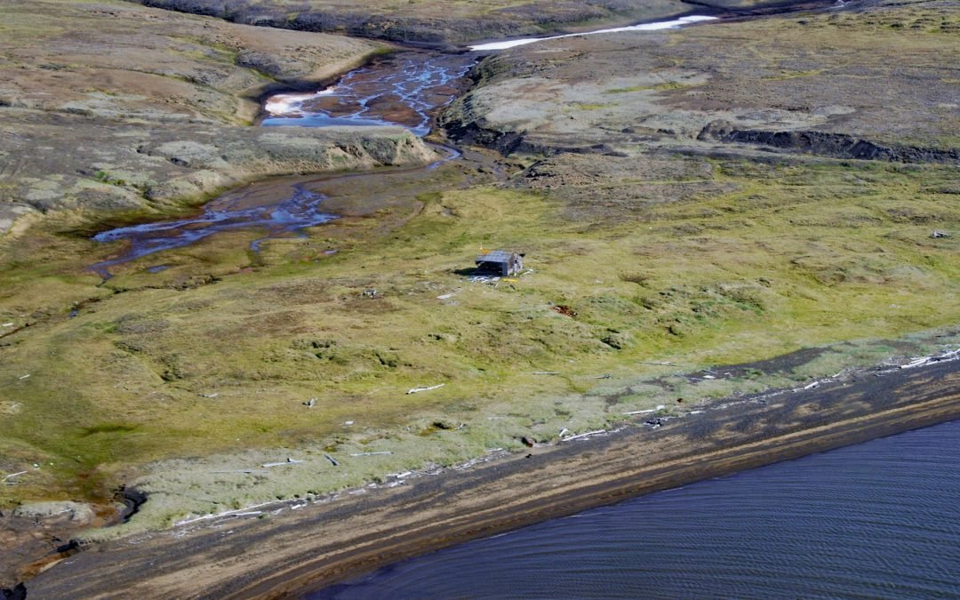
by CoastView | Sep 28, 2026 | 2026, Alaska, Developments, Historical, September 2026, Shelter Cabins
Listen to the article here https://coastview.org/wp-content/uploads/2026/08/Akeonik.wav Akeonik is a shelter cabin and, historically, a reindeer station at the northern end of Kasegaluk Lagoon on the Chukchi Sea coast at Icy Cape, about 50 miles (81 km) southwest of...

by CoastView | Apr 24, 2026 | 2026, Alaska, Embayments, Historical, Land Use, Natural History, Shelter Cabins
Listen to the article here https://coastview.org/wp-content/uploads/2026/01/SafetySound.mp3 Safety Sound is a lagoon along the Nome-Council Highway, formed by barrier beaches up to 14 feet (4.2 m) high that extend for 15 miles (24 km) along the north coast of Norton...
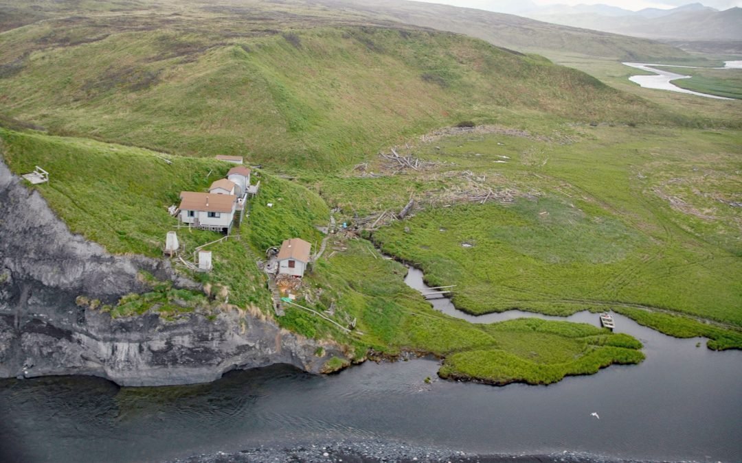
by CoastView | Oct 2, 2025 | 2025, Alaska, Biodiversity, Coastal Features, Historical, Land Use, Natural History, Rivers, Shelter Cabins
Listen to the article here https://coastview.org/wp-content/uploads/2025/06/Ayakulik-River.mp3 The Ayakulik River flows generally south for 30 miles (48 km) to the Shelikof Strait coast of Kodiak Island, about 89 miles (143 km) southwest of Kodiak and 22 miles (35 km)...
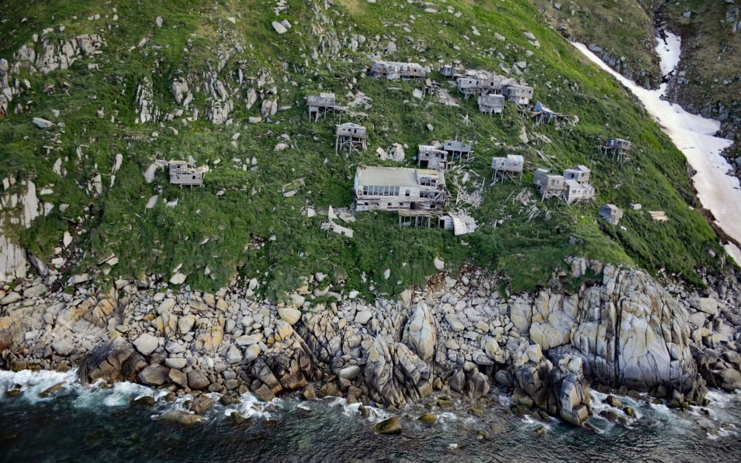
by CoastView | Aug 11, 2025 | 2025, Alaska, Biodiversity, Communities, Historical, Islands, Land Use, Natural History, Shelter Cabins
Listen to the article here https://coastview.org/wp-content/uploads/2025/06/Ukivok.mp3 Ukivok is a historic Iñupiat village on Uġiuvak Island, also known as King Island, situated in the Bering Sea, approximately 86 miles (138 km) west-northwest of Nome and 45 miles...
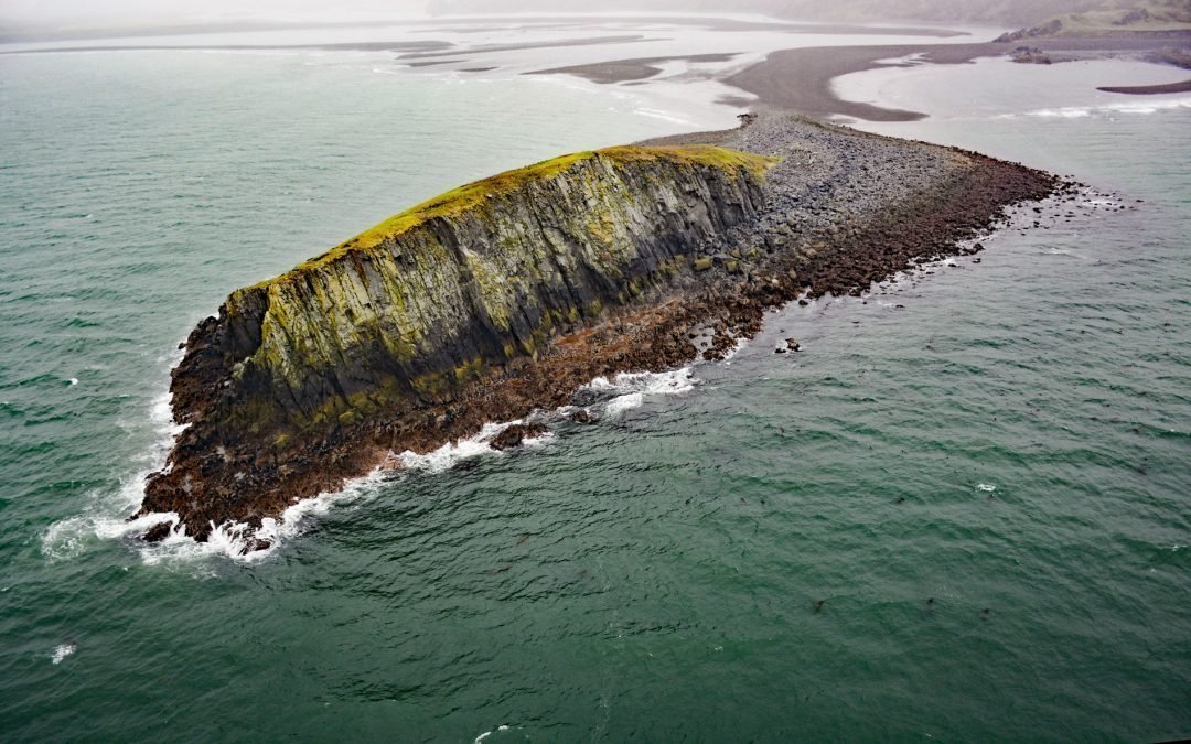
by CoastView | Apr 21, 2025 | 2025, Alaska, Beaches, Biodiversity, Coastal Features, Embayments, Historical, Islands, Land Use, Natural History, Parks, Rivers, Shelter Cabins
Listen to the article here https://coastview.org/wp-content/uploads/2025/04/Ark-Island.mp3 Ark Island lies at the mouth of the Aniakchak River on the north shore of Aniakchak Bay along the southeastern Alaska Peninsula, about 205 miles (330 km) southwest of Kodiak and...
by CoastView | Feb 8, 2025 | 2025, Alaska, Beaches, Coastal Features, Historical, Mines, Rivers, Shelter Cabins
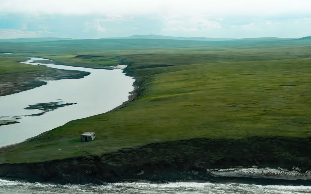
Listen to the article here https://coastview.org/wp-content/uploads/2025/03/Pitmegea.mp3 The Pitmegea River originates at an elevation of about 1,300 feet (396 m) in the De Long Mountains of the western Brooks Range, and flows northwest for 37 miles (60 km) to the...
