by CoastView | Oct 10, 2026 | 2026, Beaches, California, Embayments, Land Use, October 2026, Parks
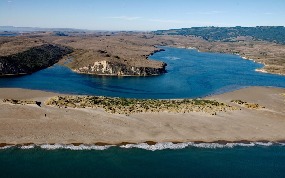
Listen to the article here https://coastview.org/wp-content/uploads/2026/08/LimantourEstuary.mp3 Limantour Beach is a long, narrow spit in Point Reyes National Seashore, between Drakes Bay and Limantour Estero, roughly 15 miles (24 km) northwest of Bolinas and 6 miles...
by CoastView | Oct 9, 2026 | 2026, Alaska, Developments, Embayments, Historical, Land Use, Mines, October 2026
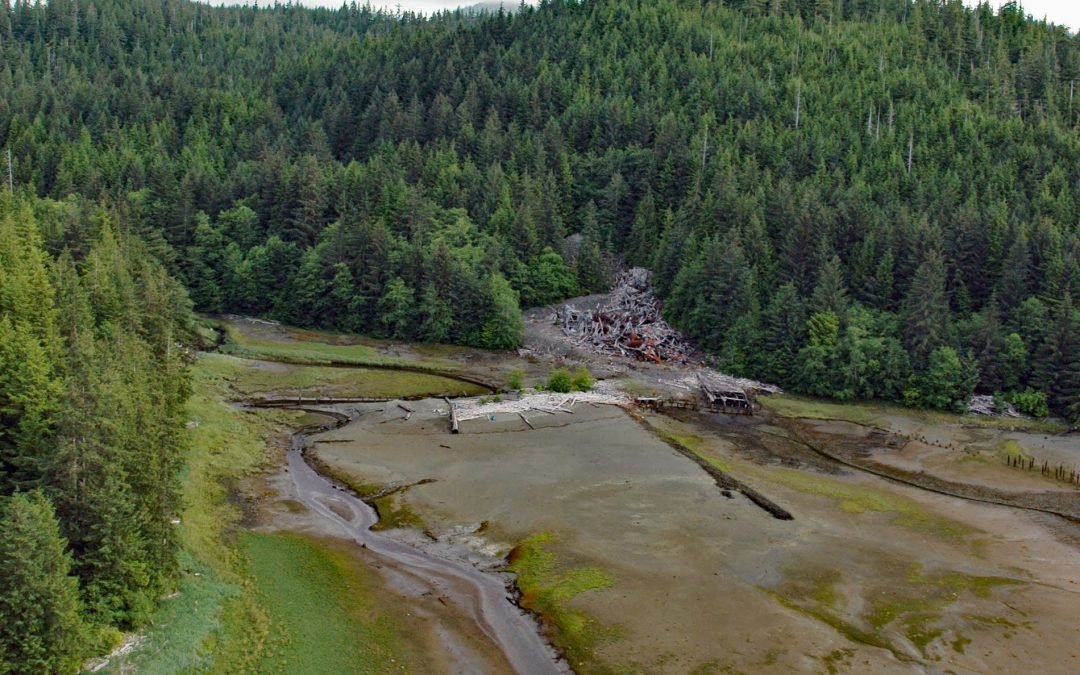
Listen to the article here https://coastview.org/wp-content/uploads/2026/08/SaltChuckMine.mp3 Salt Chuck is a historic mining site at the head of Kasaan Bay, on the east coast of Prince of Wales Island, about 39 miles (63 km) northwest of Ketchikan and 4.5 miles (7.2...
by CoastView | Oct 8, 2026 | 2026, Islands, Land Use, October 2026, Parks, Washington
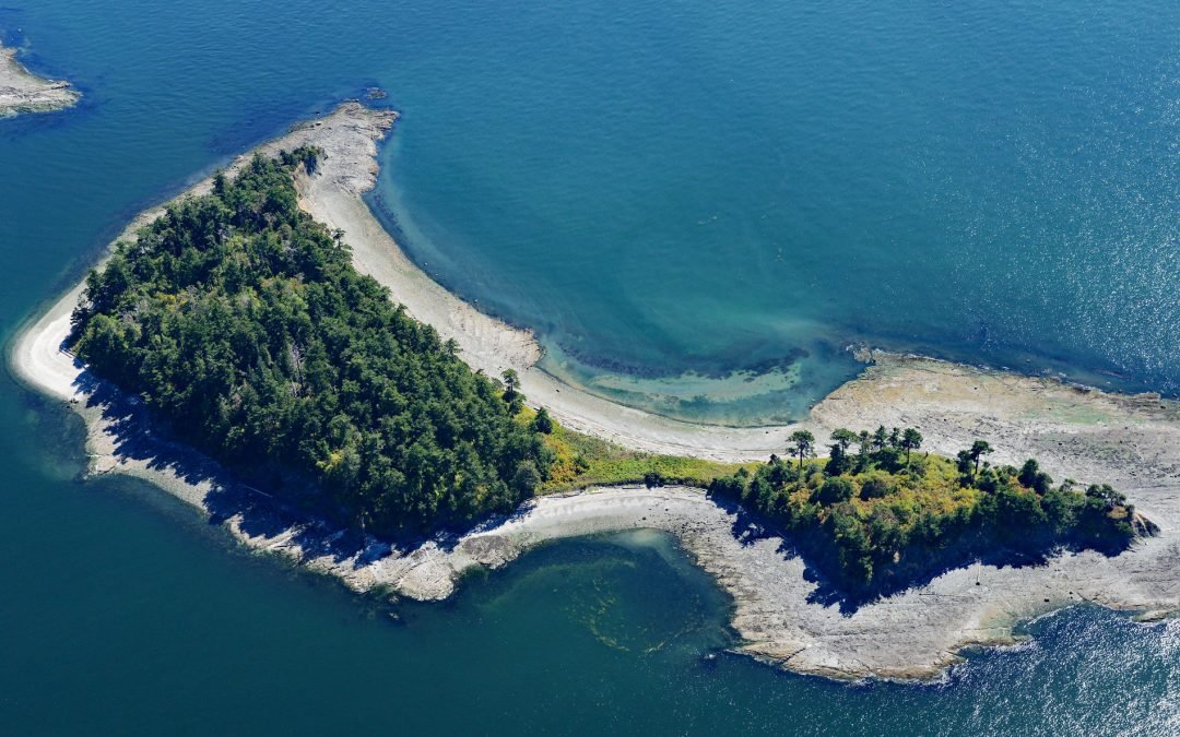
Listen to the article here https://coastview.org/wp-content/uploads/2026/08/LittleSucia.mp3 Little Sucia and Sucia islands belong to an archipelago of ten islands in the San Juan Islands, including Ewing, Justice, Herndon and the Cluster Islands, plus several smaller...
by CoastView | Oct 7, 2026 | 2026, Alaska, Beaches, Developments, Islands, Land Use, October 2026
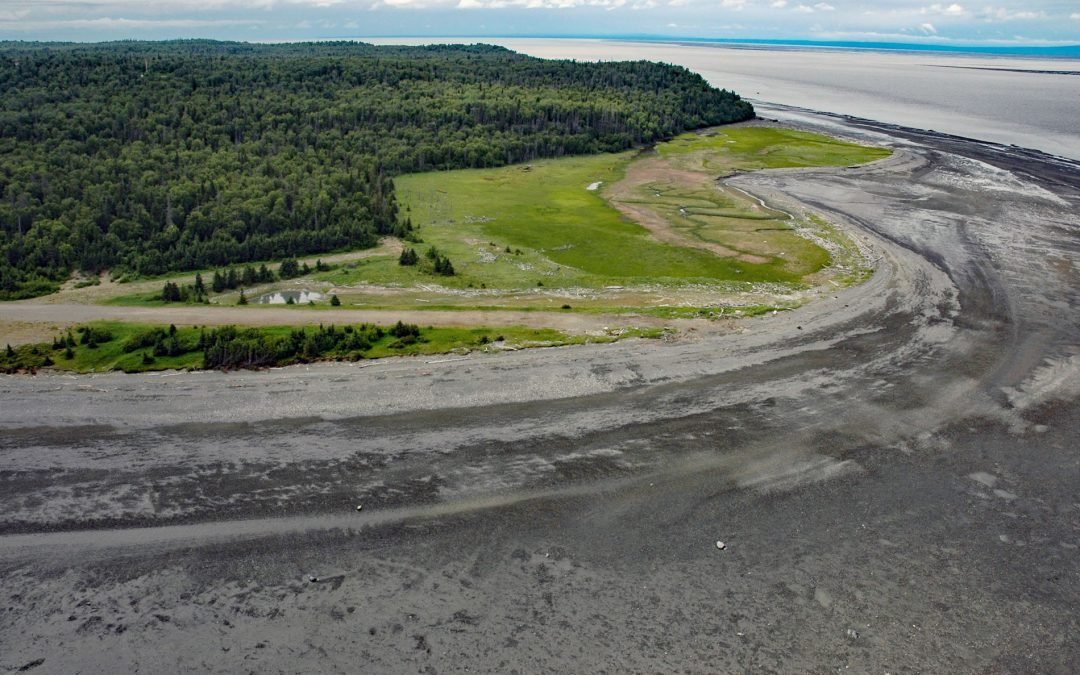
Listen to the article here https://coastview.org/wp-content/uploads/2026/08/Fire-Island.wav Fire Island is about 5.5 miles (8.9 km) long and lies near the head of Cook Inlet, within the Municipality of Anchorage, separated from Point Campbell by 3 miles (4.8 km) of...
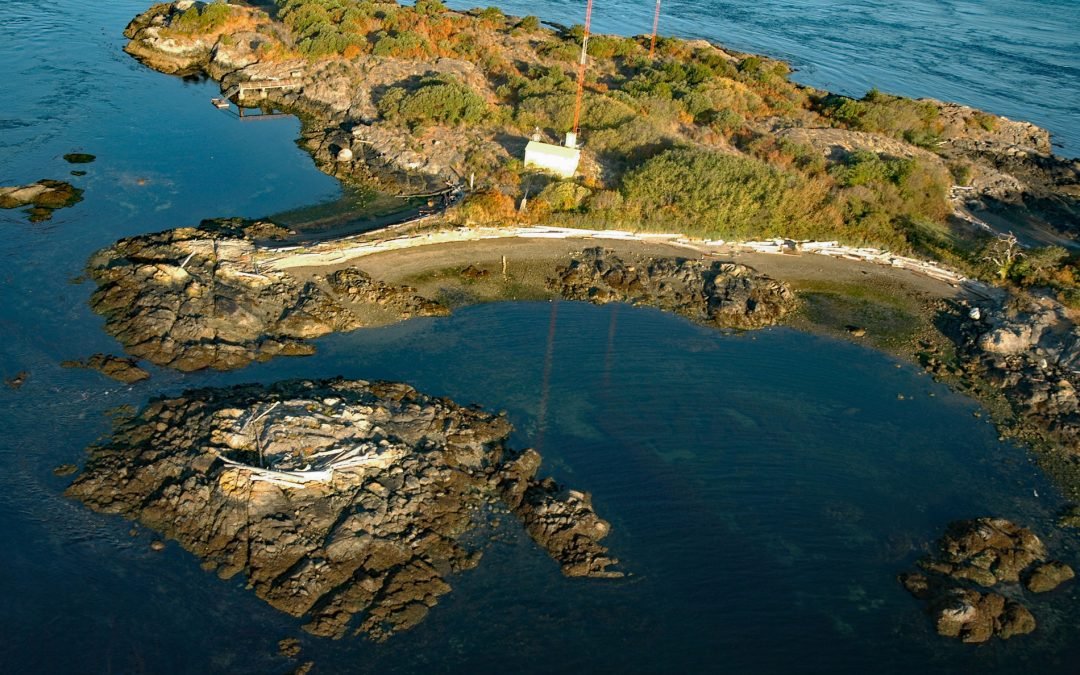
by CoastView | Oct 6, 2026 | 2026, British Columbia, Developments, Islands, Land Use, October 2026
Listen to the article here https://coastview.org/wp-content/uploads/2026/08/Strongtide-Islet.wav Strongtide Islet is one of the Chatham Islands, off the southeastern tip of Vancouver Island, about 5.4 miles (8.7 km) east-northeast of Victoria and 2.5 miles (4 km)...
