by CoastView | Jul 21, 2024 | 2024, Beaches, Coastal Features, Headlands, Historical, Land Use, Oregon, Parks
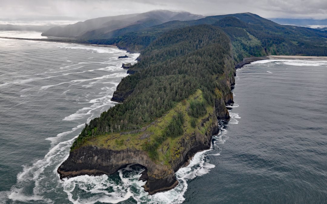
Cape Lookout is a narrow basalt headland about 2 miles (3.2 km) long with vertical sea cliffs 800 feet (244 m) high in Cape Lookout State Park and the Siuslaw National Forest, about 26 miles (42 km) north of Lincoln City and 11 miles (18 km) southwest of Tillamook,...
by CoastView | Jul 20, 2024 | 2024, Alaska, Beaches, Communities, Developments, Embayments, Historical, Rivers, Shipwrecks
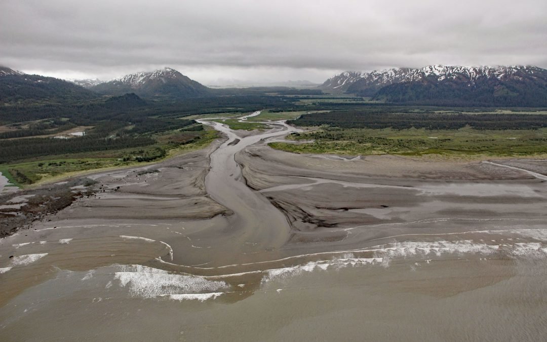
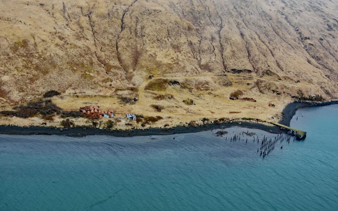
SS Portland is a shipwreck at the mouth of the Katalla River, near the abandoned oil prospecting community of Katalla, about 70 miles (113 km) west-northwest of Yakataga and 48 miles (77 km) southeast of Cordova, Alaska. The name for Katalla is derived from the Eyak...
by CoastView | Jul 19, 2024 | 2024, Beaches, British Columbia, Coastal Features, Communities, Embayments, Historical, Land Use, Lighthouses
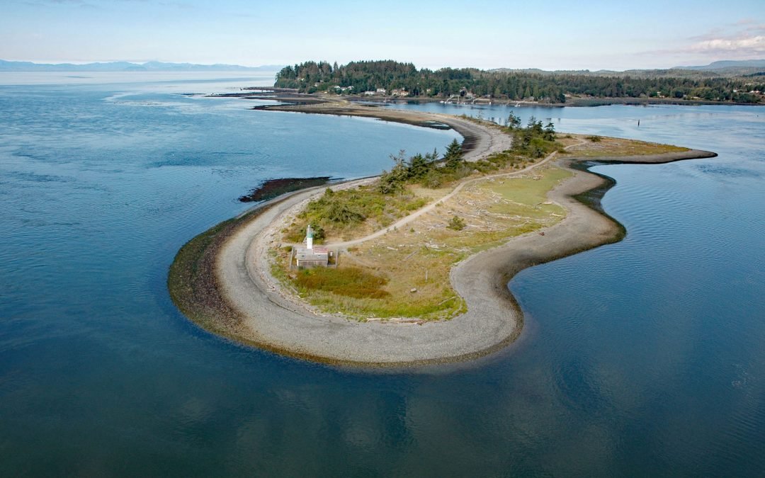
Whiffin Spit is a narrow sandspit that almost landlocks Sooke Harbour and Sooke Basin, about 17 miles (27 km) southwest of Victoria and 1.5 miles (2.4 km) southeast of Sooke, British Columbia. Sooke Basin is a tidal inlet connected to the Strait of Juan de Fuca by...
by CoastView | Jul 18, 2024 | 2024, Alaska, Canneries, Communities, Developments, Embayments, Historical
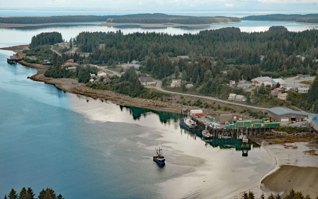
Yakutat is a small community at the head of Monti Bay, on the southeast shore of Yakutat Bay, about 222 miles (358 km) east-southeast of Cordova and 210 miles (339 km) northwest of Juneau, Alaska. The name “Baie de Monti” was given to Yakutat Bay or a part...
by CoastView | Jul 17, 2024 | 2024, Alaska, Biodiversity, Chemical Pollution, Developments, Embayments, Historical, Islands
Alaska Whaling Company built a whaling station in 1912 on the south shore of Akutan Harbor on Akutan Island, about 34 miles (55 km) northeast of Dutch Harbor and 1.5 miles (2.4 km) west-southwest of the village of Akutan, Alaska. It was the only whaling station in the...
by CoastView | Jul 16, 2024 | 2024, Alaska, Freshwater, Islands, Land Use, Natural History, Parks, Rivers
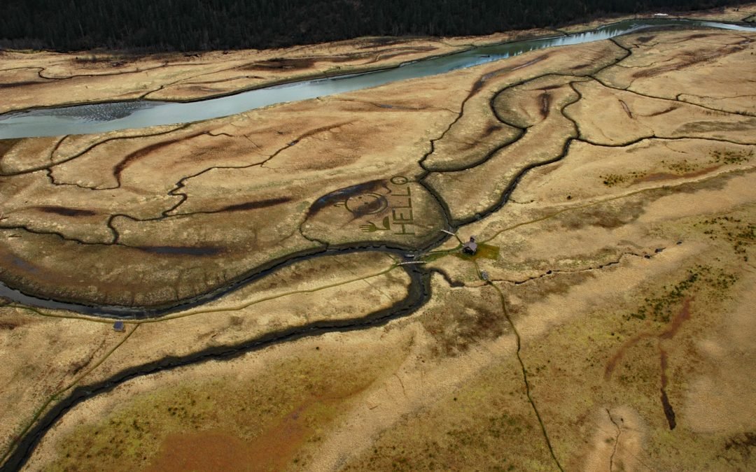
King Slough is a water passage between Farm Island and Dry Island in the Stikine River delta, about 22 miles (36 km) southeast of Petersburg and 11 miles (18 km) north-northwest of Wrangell, Alaska. The slough is about 5 miles (8 km) long from North Arm Stikine River...