by CoastView | Jun 23, 2023 | 2026, California, Coastal Features, Headlands, June 2026, Land Use, Lighthouses, Natural History
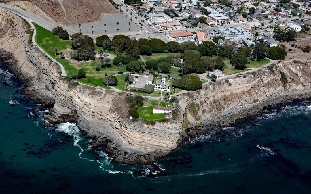
Listen to the article here https://coastview.org/wp-content/uploads/2026/02/PointFermin.mp3 Point Fermin is the site of a historic lighthouse at the southernmost tip of the Palos Verdes Peninsula in San Pedro, about 25 miles (40km) southeast of Santa Monica and 7...
by CoastView | Jun 22, 2023 | 2026, Alaska, Climate Change, Embayments, Glaciers, June 2026, Land Use, Mines, Natural History, Parks
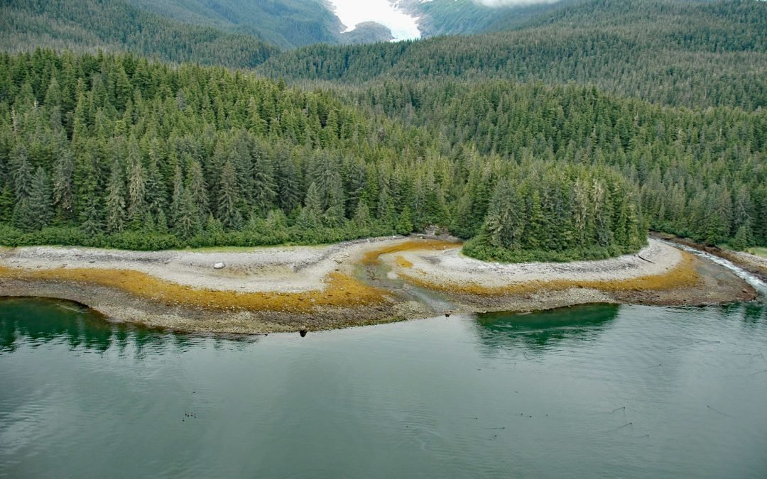
Listen to the article here https://coastview.org/wp-content/uploads/2026/02/SumdumGlacier.mp3 Sumdum Glacier begins on the south flank of Mount Sumdum, whose summit reaches 6,666 feet (2,032 m), and flows southwest to a hanging terminus at 2,100 feet (640 m), where...
by CoastView | Jun 21, 2023 | 2026, Beaches, Best of 2024, Coastal Features, June 2026, Land Use, Natural History, Oregon, Parks
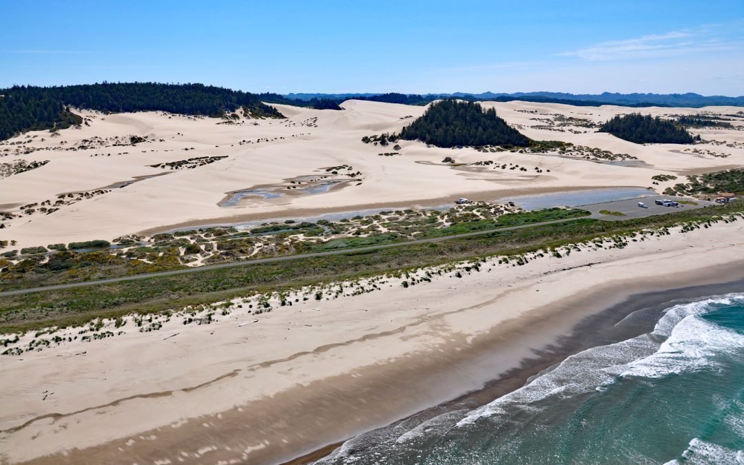
Listen to the article here https://coastview.org/wp-content/uploads/2026/02/OregonDunes.mp3 Umpqua Beach is in the Oregon Dunes National Recreation Area that extends for about 35 miles (56 km) along the coast from the Siuslaw River at Florence in the north to the Coos...
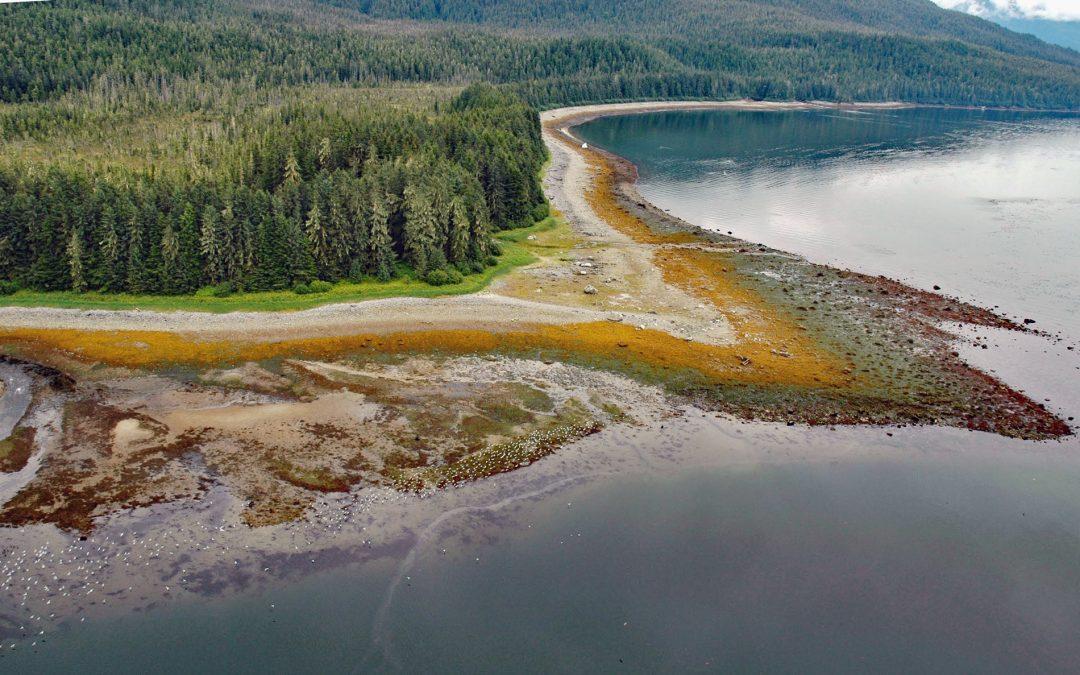
by CoastView | Jun 20, 2023 | 2026, Alaska, Coastal Features, Embayments, Islands, June 2026, Land Use, Natural History
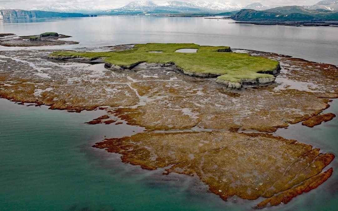
Listen to the article here https://coastview.org/wp-content/uploads/2026/02/NordykeIsland.mp3 Nordyke Island is about 35 feet (11 m) high, flat-topped and grass-covered, and located in Kamishak Bay, about 115 miles (186 km) northwest of Kodiak and 96 miles (155 km)...
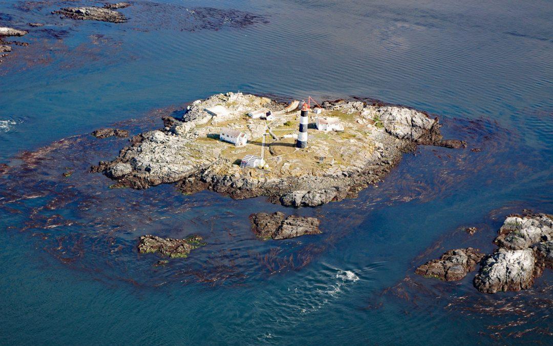
by CoastView | Jun 19, 2023 | 2026, Biodiversity, British Columbia, Coastal Features, Historical, Islands, June 2026, Land Use, Lighthouses, Natural History
Listen to the article here https://coastview.org/wp-content/uploads/2026/02/RaceRocks.mp3 Race Rocks is a group of nine islets, including North Rock, West Race, Great Race, and Rosedale Rock, located about 1 mile (1.6 km) off Cape Calver on the southern tip of...
by CoastView | Jun 18, 2023 | 2026, Alaska, Beaches, Coastal Features, Embayments, Historical, June 2026, Land Use, Natural History, Parks
Listen to the article here https://coastview.org/wp-content/uploads/2026/02/SumdumVillage.mp3 Sumdum is a historical Tlingit village of the S’awdaan Kwáan located north of Powers Creek at the northern end of Endicott Arm where it meets Holkham Bay in Tracy Arm-Fords...