
by CoastView | Apr 27, 2024 | 2024, British Columbia, Coastal Features, Developments, Embayments, Islands, Land Use, Lighthouses, Natural History
Friendly Cove is an embayment on Nootka Island situated at the northern entrance to Nootka Sound, and is the site of a historic lighthouse and the Yuquot National Historic Site of Canada, about 72 miles (116 km) south-southeast of Port McNeill and 45 miles (72 km)...
by CoastView | Apr 16, 2024 | 2024, British Columbia, Coastal Features, Communities, Developments, Land Use, Natural History, Rivers, Shipwrecks
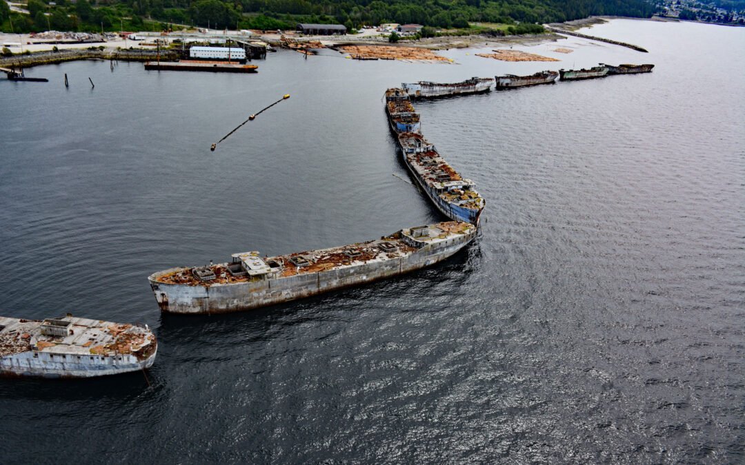
The Hulks is a floating breakwater consisting of ship hulls anchored off the mouth of Powell River originally to protect a log pond for a pulp and paper mill, about 28 miles (45 km) southeast of Campbell River and 2 miles (3.2 km) north-northwest of the community of...
by CoastView | Apr 11, 2024 | 2024, British Columbia, Coastal Features, Islands, Land Use, Lighthouses, Natural History, Parks, Shipwrecks
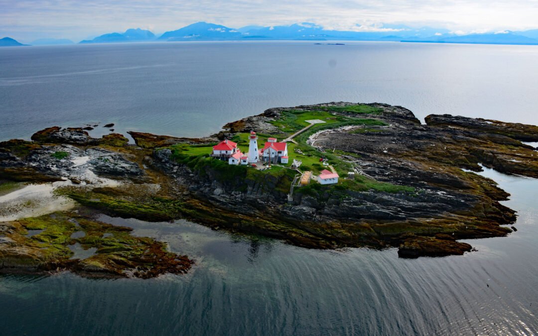
Green Island is part of the Dundas Island Archipelago situated on the west side of Chatham Sound and is the site of a historic lighthouse, about 65 miles (105 km) south-southeast of Ketchikan and 24 miles (39 km) northwest of Prince Rupert, British Columbia. The...
by CoastView | Apr 7, 2024 | 2024, British Columbia, Coastal Features, Embayments, Islands, Lighthouses, Natural History
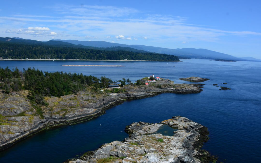
Merry Island is situated at the southern entrance to Welcome Passage in Malaspina Strait, between the Thormanby Islands to the west and the Sunshine Coast, about 39 miles (63 km) west-northwest of Vancouver and 3 miles (5 km) south of Halfmoon Bay, British Columbia....
by CoastView | Mar 31, 2024 | 2024, British Columbia, Coastal Features, Communities, Developments, Headlands, Historical, Land Use, Natural History, Parks
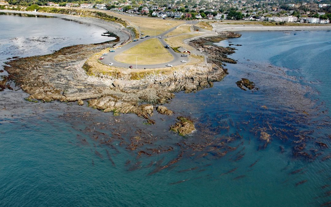
Clover Point is a park of about 10 acres (4 ha) owned by the City of Victoria located between Ross Bay to the east and Finlayson Bay to the west at the southern tip of Vancouver Island, about 2.5 miles (4 km) southwest of Oak Bay and 1.6 miles (2.6 km) southeast of...
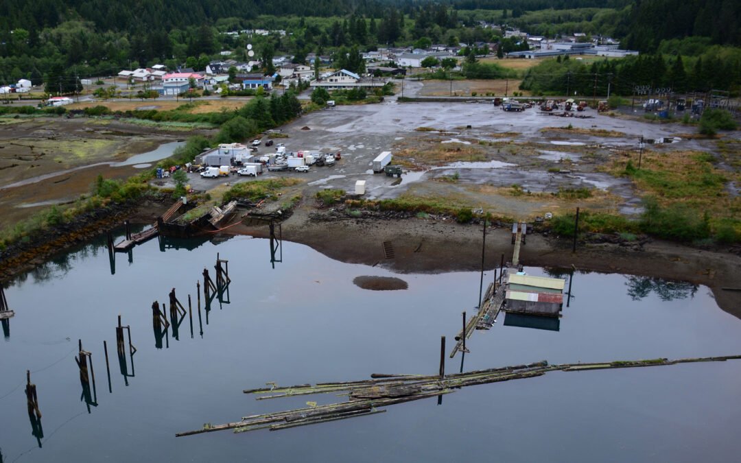
by CoastView | Mar 29, 2024 | 2024, Biodiversity, British Columbia, Coastal Features, Communities, Developments, Embayments, Land Use, Natural History, Rivers
Tahsis is a community on the west coast of Vancouver Island at the head of Tahsis Inlet which is the northern arm of Nootka Sound, about 50 miles (80 km) south-southeast of Port McNeill and 30 miles (48 km) west-northwest of Gold River, British Columbia. The name is...
