by CoastView | May 7, 2026 | 2026, Alaska, Coastal Features, Embayments, Kachemak, Land Use, May 2026, Natural History, Parks, Waterfalls
Listen to the article here https://coastview.org/wp-content/uploads/2026/01/TutkaBay.mp3 Tutka Bay is a deglaciated fjord extending 8.5 miles (14 km) from Eldred Passage to the estuary of an unnamed river in Kachemak Bay State Park, about 18 miles (29 km) south-east...
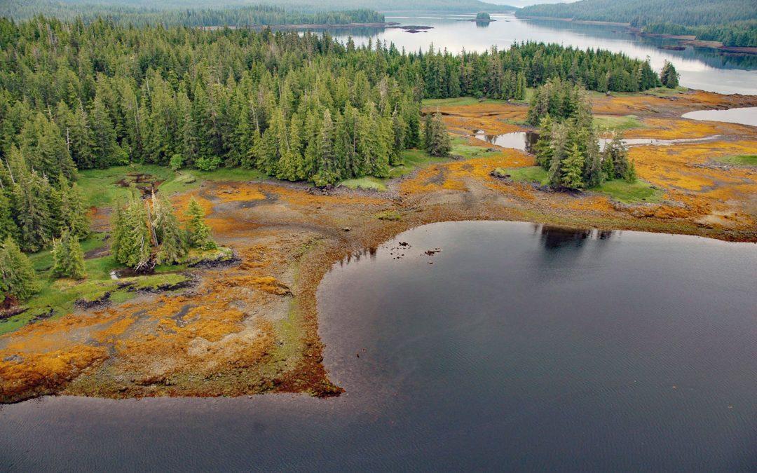
by CoastView | May 4, 2026 | 2026, Alaska, Biodiversity, Coastal Features, Communities, Embayments, Islands, Land Use, May 2026, Natural History
Listen to the article here https://coastview.org/wp-content/uploads/2026/01/WhalePass.mp3 Whale Passage is a waterway about 10 miles (16 km) long situated between Thorne Island to the east and Prince of Wales Island to the west, roughly 40 miles (65 km) southwest of...
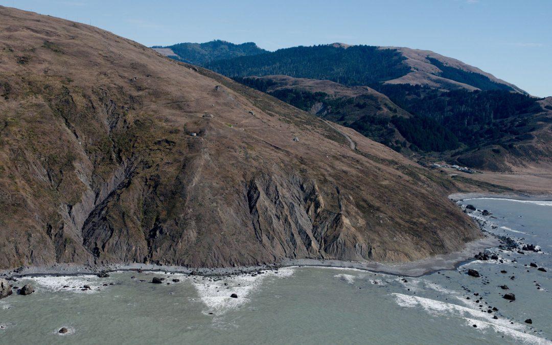
by CoastView | May 3, 2026 | 2026, California, Coastal Features, Headlands, Land Use, Lighthouses, May 2026, Natural History
Listen to the article here https://coastview.org/wp-content/uploads/2026/01/CapeMendocino.mp3 Cape Mendocino is a major headland on the Lost Coast, situated between the Bear river to the north and Mattole river to the south, about 210 miles (338 km) north-west of San...
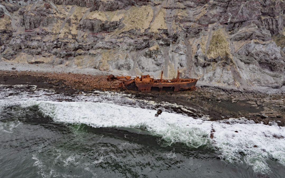
by CoastView | May 2, 2026 | 2026, Alaska, Coastal Features, Historical, Islands, May 2026, Natural History, Shipwrecks
Listen to the article here https://coastview.org/wp-content/uploads/2026/01/SSOduna.mp3 Cape Pankof is a point of land at the eastern tip of the Ikatan Peninsula on Unimak Island, about 148 miles (239 km) north-east of Dutch Harbor and 18 miles (29 km) southeast of...
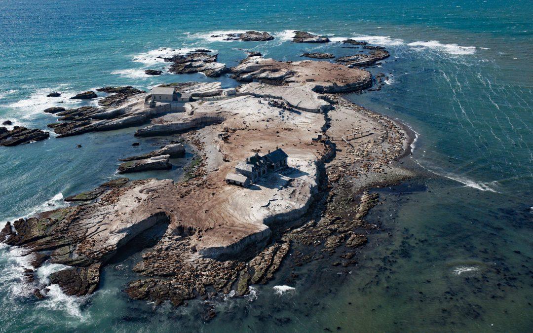
by CoastView | Apr 25, 2026 | 2026, Biodiversity, California, Coastal Features, Historical, Islands, Land Use, Lighthouses, Natural History, Parks
Listen to the article here https://coastview.org/wp-content/uploads/2026/01/AnoNuevoIsland.mp3 Año Nuevo Island, a historic site featuring a light tower and fog signal, occupies about 9 acres (3.6 ha) separated from Point Año Nuevo by a shallow channel within Año...
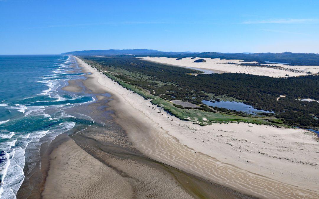
by CoastView | Apr 23, 2026 | 2026, Beaches, Coastal Features, Land Use, Natural History, Oregon, Parks
Listen to the article here https://coastview.org/wp-content/uploads/2026/01/SiltcoosRiver.mp3 The Siltcoos River begins at the outlet of Siltcoos Lake and meanders generally west for three miles (4.8 km) through the Oregon Coastal Dunes to the Pacific Ocean, about...