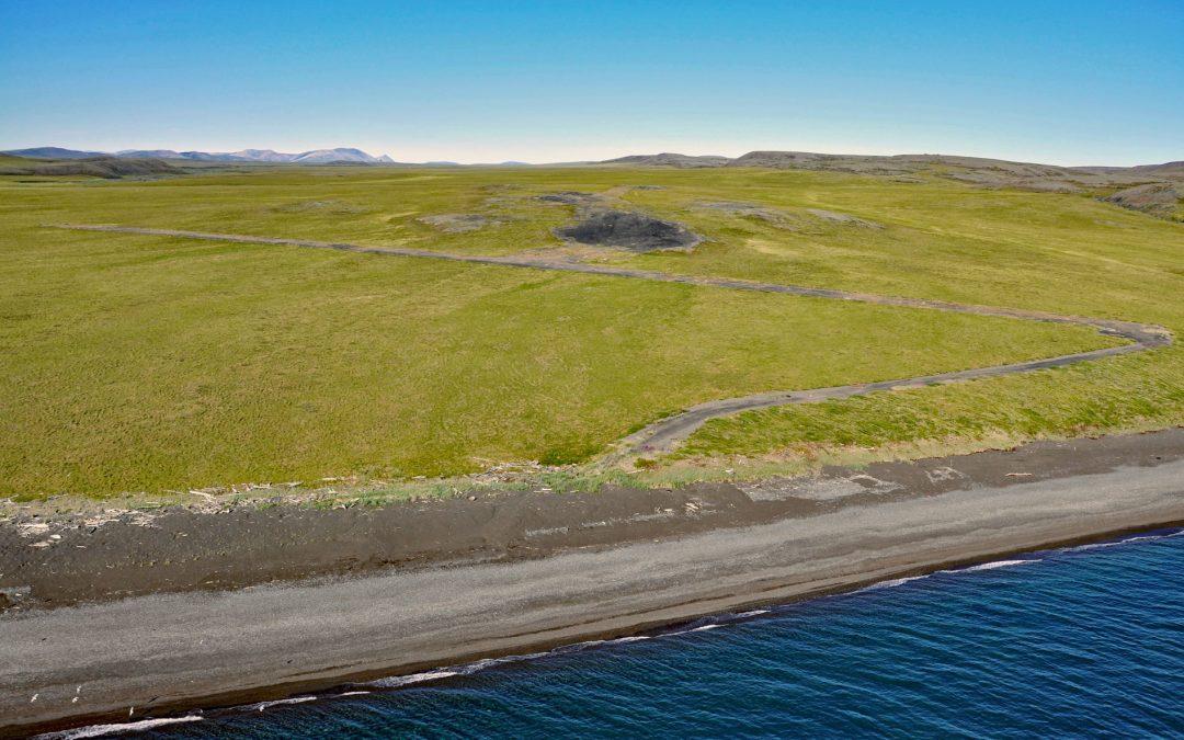
by CoastView | May 18, 2026 | 2026, Alaska, Beaches, Developments, Headlands, Historical, Land Use, May 2026, Natural History
Listen to the article here https://coastview.org/wp-content/uploads/2026/02/ProjectChariot.mp3 Cape Thompson is a headland on the Chukchi Sea coast near the site of Project Chariot, about 41 miles (66 km) northwest of Kivalina and about 31 miles (50 km) southeast of...
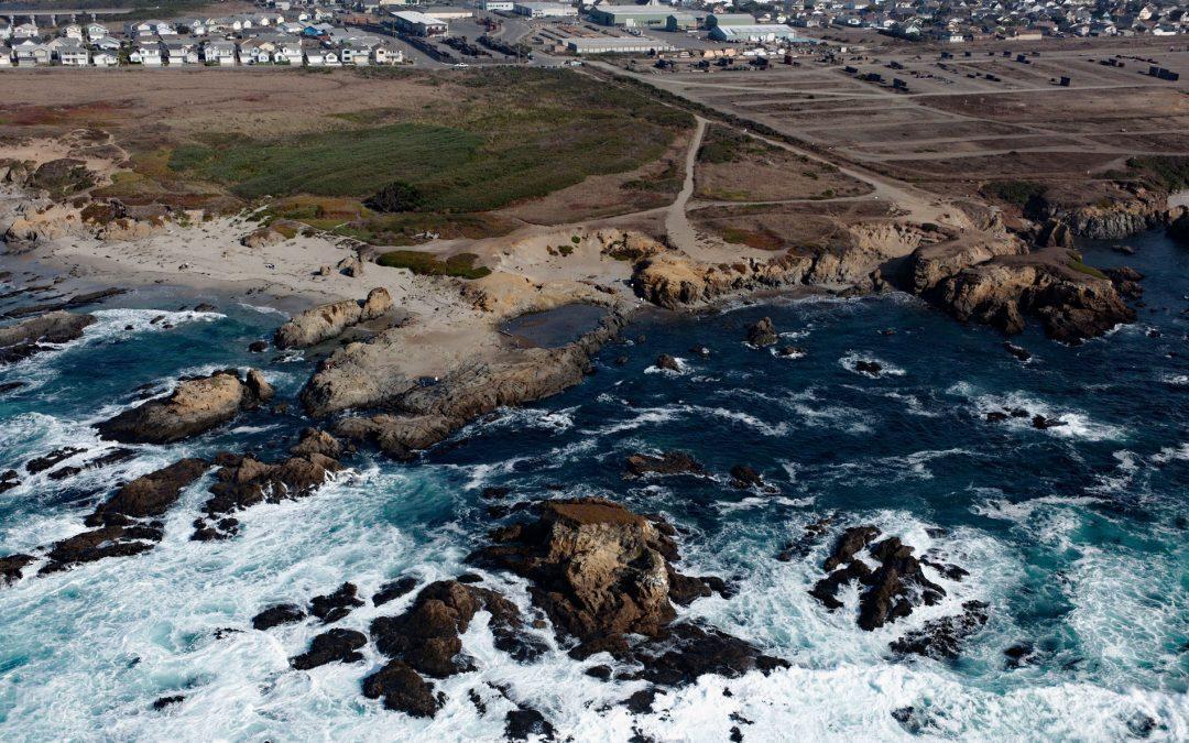
by CoastView | May 11, 2026 | 2026, Beaches, California, Communities, Developments, Historical, Land Use, May 2026, Natural History
Listen to the article here https://coastview.org/wp-content/uploads/2026/01/GlassBeach.mp3 Glass Beach is situated in the northern section of Noyo Headlands Park in Fort Bragg, between Pudding Creek to the north and Noyo River to the south, about 95 miles (153 km)...
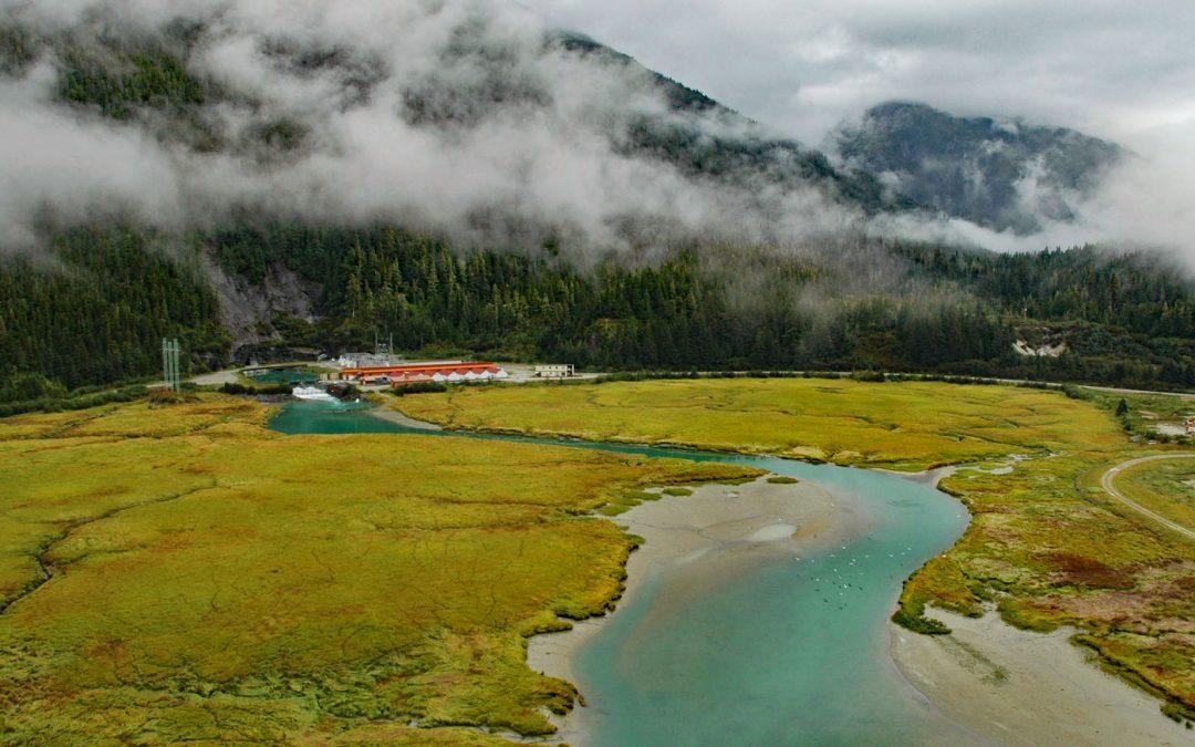
by CoastView | May 9, 2026 | 2026, Alaska, Developments, Embayments, Land Use, May 2026, Natural History, Rivers
Listen to the article here https://coastview.org/wp-content/uploads/2026/01/Snettisham.mp3 Speel Arm extends generally northeast for 9 miles (14.5 km) from the head of Port Snettisham to the mouth of the Speel River, and is the site of a hydroelectric facility powered...
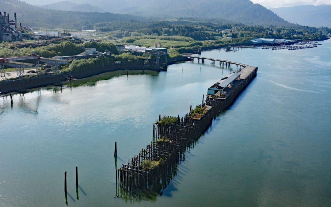
by CoastView | May 6, 2026 | 2026, Biodiversity, British Columbia, Communities, Developments, Embayments, Land Use, May 2026, Natural History, Rivers
Listen to the article here https://coastview.org/wp-content/uploads/2026/01/PortEdward.mp3 Port Edward is a community on the eastern shore of Porpoise Harbor on the Tsimpsean Peninsula near the mouth of the Skeena River, about 98 miles (158 km) southeast of Ketchikan...
by CoastView | May 5, 2026 | 2026, Alaska, Climate Change, Communities, Developments, Islands, Land Use, May 2026, Natural History
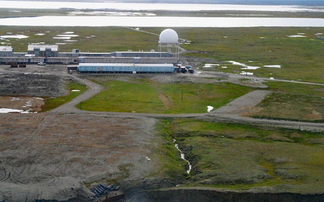
Listen to the article here https://coastview.org/wp-content/uploads/2026/01/BarterIsland.mp3 The North Warning System station at Barter Island is a long-range radar facility on the Beaufort Sea coast adjacent to the village of Kaktovik, about 273 miles (440 km)...
by CoastView | Apr 29, 2026 | 2026, April 2026, Beaches, Biodiversity, Developments, Historical, Land Use, Natural History, Shipwrecks
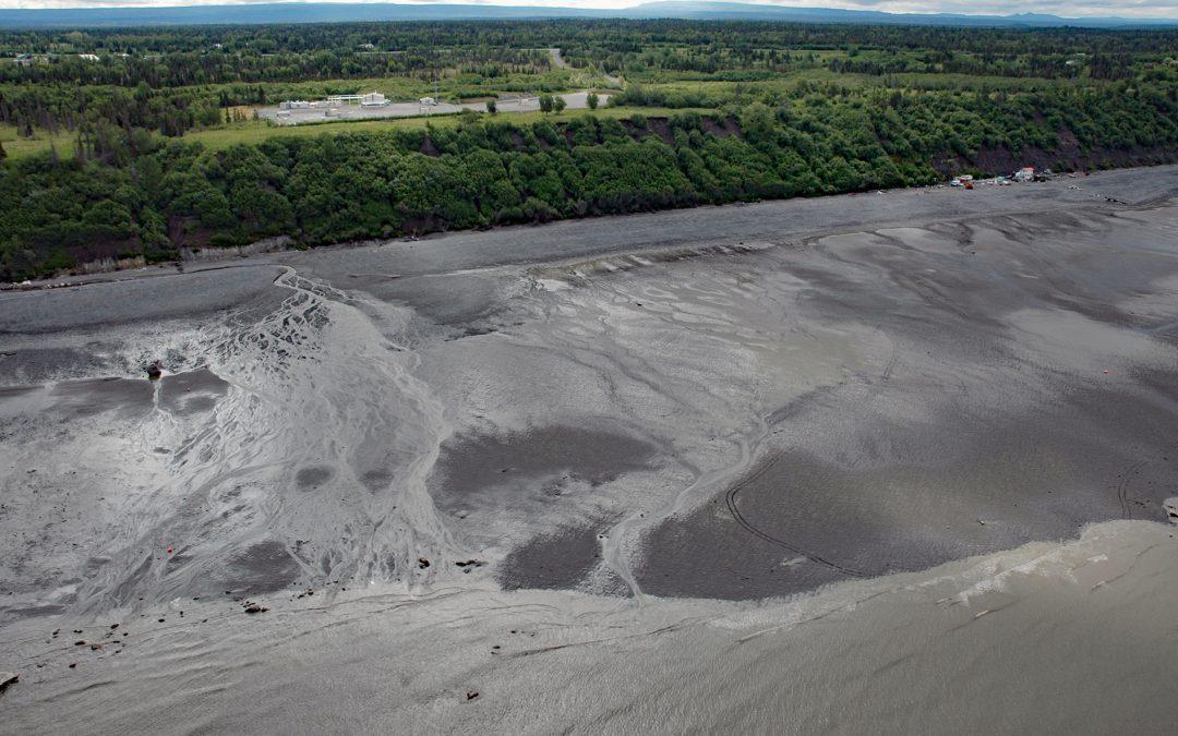
Listen to the article here https://coastview.org/wp-content/uploads/2026/01/CoreaCreek.mp3 Corea Creek drains a fen at an elevation of 200 feet (60 m) on the Kenai Peninsula and flows generally south-west for 2.4 miles (4 km) to the eastern shore of Cook Inlet, about...