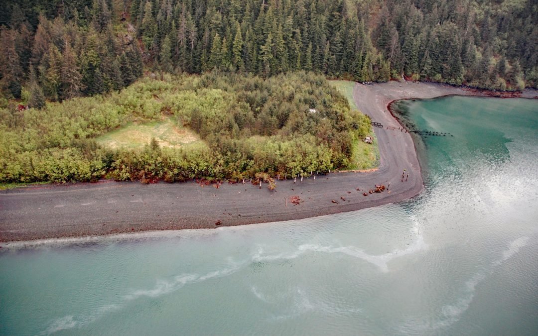
by CoastView | Jun 19, 2025 | 2025, Alaska, Beaches, Biodiversity, Canneries, Coastal Features, Developments, Embayments, Historical, Land Use, Natural History
Listen to the article here https://coastview.org/wp-content/uploads/2025/05/Shepard-Point.mp3 Shepard Point is a mixed alluvial and colluvial fan on the eastern shore of Orca Inlet in Prince William Sound at Nelson Bay, which is an estuary mostly formed by the Rude...
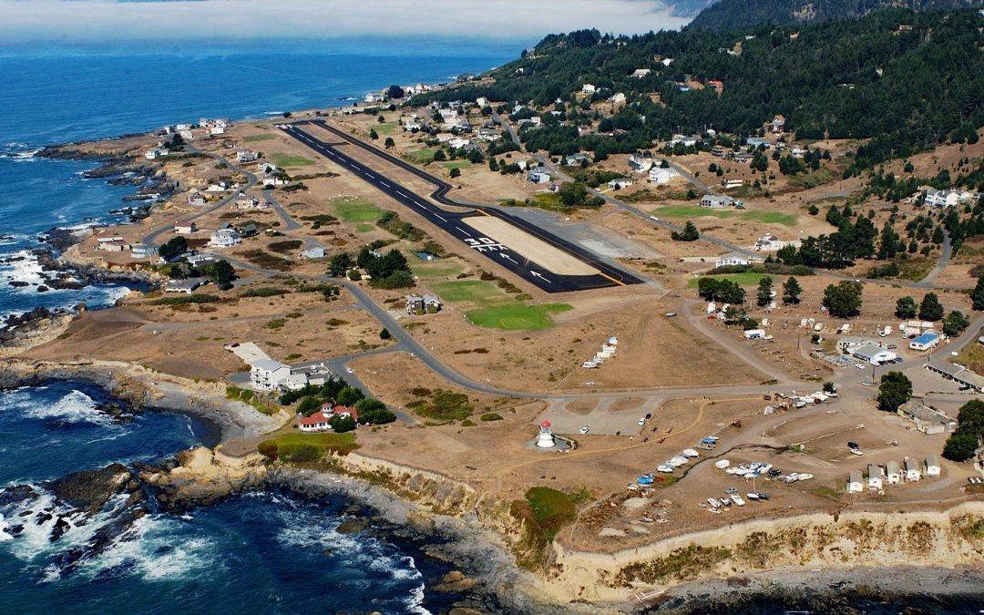
by CoastView | Jun 18, 2025 | 2025, Biodiversity, California, Coastal Features, Communities, Developments, Embayments, Headlands, Historical, Land Use, Lighthouses, Parks
Listen to the article here https://coastview.org/wp-content/uploads/2025/05/Point-Delaga.mp3 Shelter Cove is an isolated community located on Point Delgada on the Lost Coast, between Deadman Gulch to the south and Telegraph Creek to the north, about 54 miles (87 km)...
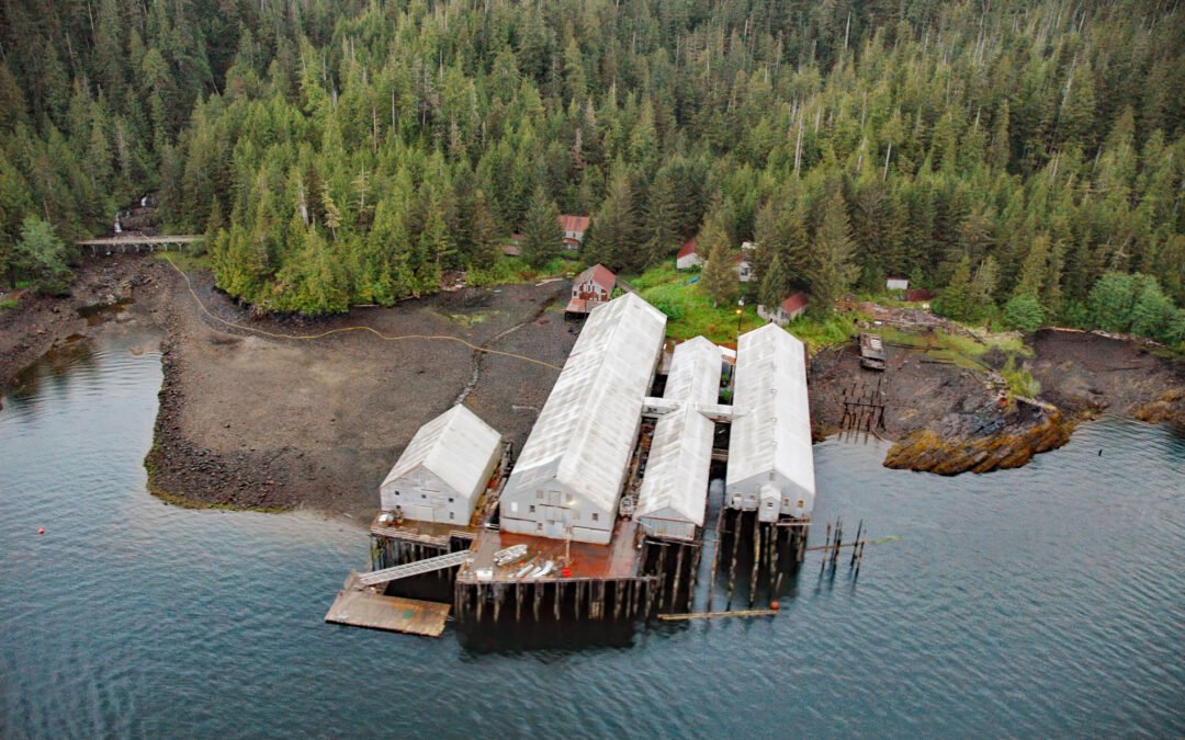
by CoastView | Jun 17, 2025 | 2025, Alaska, Biodiversity, Canneries, Coastal Features, Developments, Embayments, Historical, Land Use, Natural History
Listen to the article here https://coastview.org/wp-content/uploads/2025/05/George-Inlet.mp3 George Inlet is a deglaciated fjord that extends generally north into Revillagigedo Island for about 19 miles (31 km) from Revillagigedo Channel to Salt Lagoon, with a...
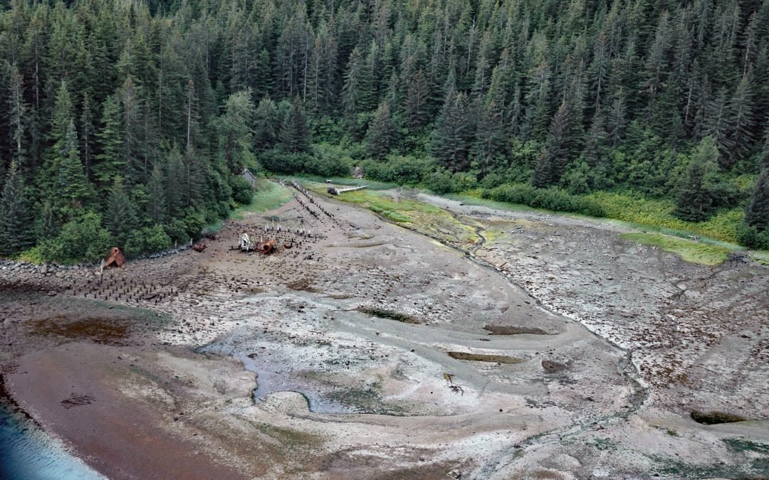
by CoastView | Jun 16, 2025 | 2025, Alaska, Biodiversity, Canneries, Coastal Features, Developments, Embayments, Historical, Land Use, Natural History, Parks, Rivers
Listen to the article here https://coastview.org/wp-content/uploads/2025/05/Dundas-Bay.mp3 Dundas Bay is located on the north shore of Icy Strait in Glacier Bay National Park and Preserve, about 24 miles (39 km) west of Gustavus and 11 miles (18 km) north of Elfin...
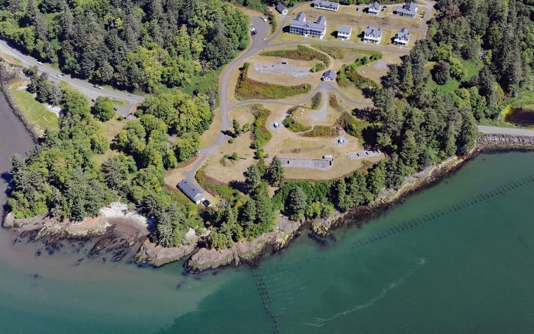
by CoastView | Jun 15, 2025 | 2025, Coastal Features, Developments, Embayments, Headlands, Historical, Land Use, Parks, Rivers, Washington
Listen to the article here https://coastview.org/wp-content/uploads/2025/05/Fort-Columbia.mp3 Fort Columbia, a historic military facility situated on Chinook Point, defended the entrance to the Columbia River from 1896 to 1947 and is now a state park, about 7 miles...
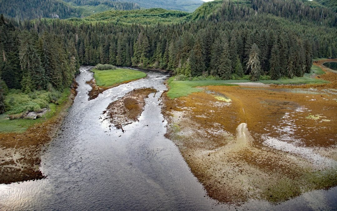
by CoastView | Jun 14, 2025 | 2025, British Columbia, Coastal Features, Embayments, Historical, Land Use, Natural History, Parks, Rivers
Listen to the article here https://coastview.org/wp-content/uploads/2025/05/Crab-River.mp3 Crab River flows into Devastation Channel near the entrance to Alan Reach of Gardner Canal, about 81 miles (130km) southeast of Prince Rupert and 28 miles (45km) south-southwest...