by CoastView | Apr 4, 2025 | 2025, Alaska, Biodiversity, Coastal Features, Communities, Embayments, Historical, Kachemak, Land Use, Mines, Natural History, Rivers
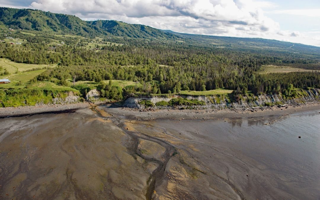
Listen to the article here https://coastview.org/wp-content/uploads/2025/05/Fritz-Creek.mp3 Fritz Creek is a stream on the Kenai Peninsula that starts from a watershed divide between Lookout Mountain to the south and Bald Mountain to the north and flows generally...

by CoastView | Mar 21, 2025 | 2025, Alaska, Biodiversity, Canneries, Coastal Features, Embayments, Historical, Kachemak, Natural History, Parks
Listen to the article here https://coastview.org/wp-content/uploads/2025/03/Halibut-Cove-Lagoon-1.mp3 Halibut Cove Lagoon is a semi‐enclosed embayment 0.7 miles (1 km) wide at the head of Halibut Cove on Kachemak Bay’s southeast shore, on the Kenai Peninsula, about 20...

by CoastView | Mar 18, 2025 | 2025, Alaska, Coastal Features, Headlands, Kachemak, Natural History
Listen to the article here https://coastview.org/wp-content/uploads/2025/03/Bruin-Bay.mp3 Bruin Bay Fault is exposed at Contact Point, a headland on the southern shore of Bruin Bay along the western side of Cook Inlet, about 123 miles (198 km) northwest of Kodiak and...
by CoastView | Apr 2, 2024 | 2024, Alaska, Beaches, Coastal Features, Communities, Developments, Embayments, Headlands, Kachemak, Land Use, Natural History
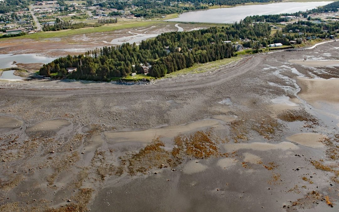
Munson Point is a peninsula formed by an ancient lateral moraine located on the northern shore of Kachemak Bay between Beluga Slough to the west and Mariner Lagoon to the east, about 15 miles (24 km) northeast of Seldovia and 1 mile (1.6 km) south of Homer, Alaska....

by CoastView | Jun 13, 2023 | 2026, Alaska, Biodiversity, Coastal Features, Embayments, Headlands, June 2026, Kachemak, Land Use, Natural History, Parks
Listen to the article here https://coastview.org/wp-content/uploads/2026/02/PointPogibshi.mp3 Point Pogibshi is a prominent flat-topped grassy headland with rocky sides about 50 feet (15 m) high on the southern shore of Kachemak Bay, roughly 20 miles (23 km) southwest...

by CoastView | Jun 6, 2023 | 2026, Alaska, Biodiversity, Coastal Features, Embayments, June 2026, Kachemak, Land Use, Natural History, Parks, Rivers
Listen to the article here https://coastview.org/wp-content/uploads/2026/02/ChinaPootCreek.mp3 China Poot Creek starts at an elevation of about 3,500 feet (1,067 m) on the western flank of the Kenai Mountains and flows for 5.6 miles (9 km) to China Poot Lake, also...