
by CoastView | Aug 28, 2024 | 2024, Alaska, Canneries, Communities, Developments, Embayments, Historical, Land Use, Parks, Shelter Cabins
Taku Harbor is a historical community and the site of an abandoned cannery in a small embayment on the eastern shore of Stephens Passage near Taku Inlet, about 86 miles (138 km) northeast of Sitka and 22 miles (35 km) southeast of Juneau, Alaska. Taku Harbor is named...

by CoastView | Aug 27, 2024 | 2024, Beaches, Coastal Features, Communities, Developments, Embayments, Historical, Land Use, Oregon
Battle Rock is a large sea stack connected to the mainland by a narrow rocky ridge, situated 500 feet (152 m) southeast of Fort Point at the head of Port Orford, a shallow embayment or bight, about 23 miles (37 km) north of Gold Beach and adjacent to the community of...
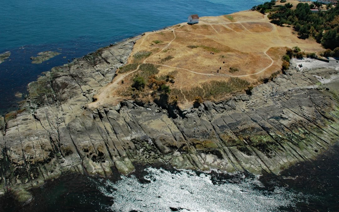
by CoastView | Aug 25, 2024 | 2024, British Columbia, Coastal Features, Developments, Historical, Islands, Land Use, Lighthouses, Parks, Shipwrecks
East Point is the end of a long peninsula at the easternmost tip of Saturna Island in the Gulf Islands National Park Reserve, about 35 miles (56 km) south of Vancouver and 18 miles (29 km) northeast of Sidney, British Columbia. Saturna is a mountainous island of 7,680...
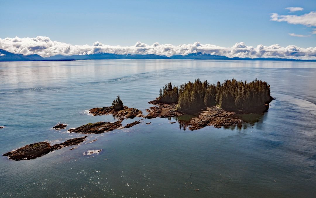
by CoastView | Aug 24, 2024 | 2024, Alaska, Coastal Features, Embayments, Historical, Islands, Land Use, Parks
Beauclerc Island is in Sumner Strait, at the entrance to Port Beauclerc on Kuiu Island, in the Alexander Archipelago of Southeast Alaska, about 80 miles (129 km) southeast of Sitka and 11 miles (18 km) southwest of Point Baker, Alaska. The island’s name is taken...
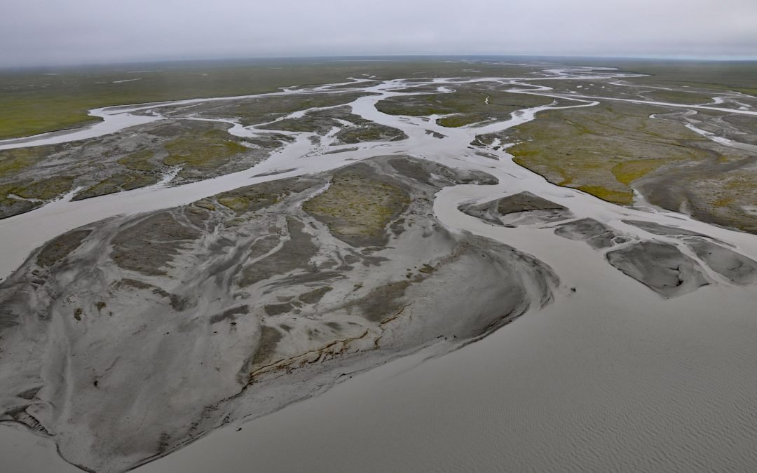
by CoastView | Aug 23, 2024 | 2024, Alaska, Biodiversity, Chemical Pollution, Communities, Developments, Freshwater, Historical, Land Use, Parks, Rivers
Jago River starts at an unnamed glacier on the continental divide of the Romanzof Mountains in the Brooks Range and flows north for about 90 miles (145 km) through the Arctic National Wildlife Refuge to Jago Lagoon, about 88 miles (142 km) east-northeast of...
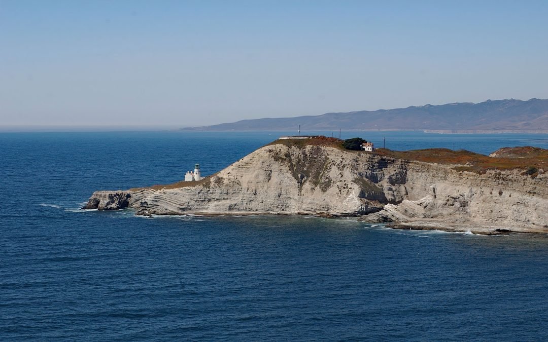
by CoastView | Aug 22, 2024 | 2024, California, Coastal Features, Developments, Headlands, Historical, Land Use, Lighthouses, Shipwrecks
Point Conception is located on the Gaviota Coast, at the western end of the Santa Barbara Channel, about 45 miles (72 km) west of Santa Barbara and 13 miles (21 km) south of Lompoc, California. The double headlands of Point Conception and Point Arguello, which are...
