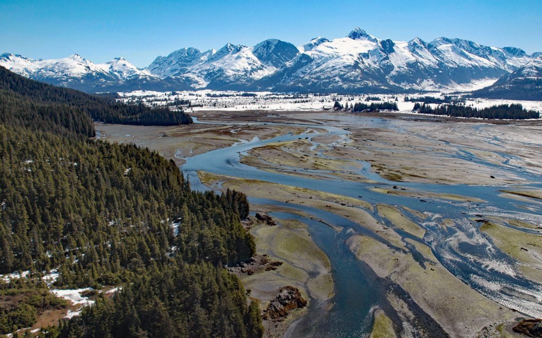
by CoastView | Jan 14, 2025 | 2025, Alaska, Biodiversity, Climate Change, Coastal Features, Glaciers, Historical, Land Use, Mines, Nitrogen Cycle, Parks, Phosphorus, Rivers
Listen to the article here https://coastview.org/wp-content/uploads/2025/03/Coghill-River-1.mp3 The Coghill River in Chugach National Forest flows southwest for 5 miles (8 km) from the terminus of Dartmouth Glacier to Coghill Lake, which is 4.7 miles (7.5 km) long,...
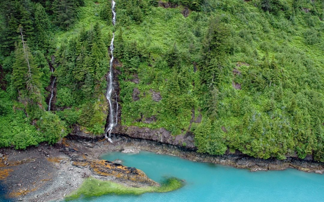
by CoastView | Dec 15, 2024 | 2024, Alaska, Climate Change, Coastal Features, Embayments, Freshwater, Glaciers, Historical, Land Use, Nitrogen Cycle, Rivers, Waterfalls
Ultramarine Glacier is located at the head of Blue Fjord, a glacial estuary that trends generally north for 4.5 miles (7.3 km) to Port Nellie Juan in western Prince William Sound on the east coast of the Kenai Peninsula, about 87 miles (140 km) west of Cordova and 26...
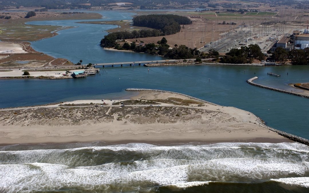
by CoastView | Nov 4, 2024 | 2024, Biodiversity, California, Chemical Pollution, Coastal Features, Communities, Developments, Embayments, Freshwater, Historical, Land Use, Nitrogen Cycle, Phosphorus, Rivers
Elkhorn Slough is an estuary about 7 miles (11 km) long that connects with Monterey Bay at the community of Moss Landing, about 17 miles (27 km) southeast of Santa Cruz and 16 miles (26 km) north-northeast of Monterey, California. Elkhorn Slough is the third-largest...