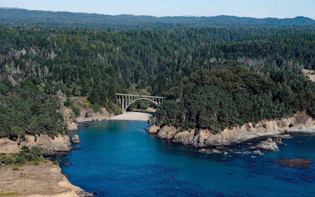
by CoastView | May 31, 2026 | 2026, Beaches, California, Coastal Features, Embayments, Historical, June 2026, Land Use, Natural History, Parks, Rivers
Listen to the article here https://coastview.org/wp-content/uploads/2026/02/RussianGulch.mp3 Russian Gulch is a river that starts at an elevation of about 800 feet (244 m) on the northwestern flank of Hi Chute Ridge in the California Coast Ranges and flows generally...
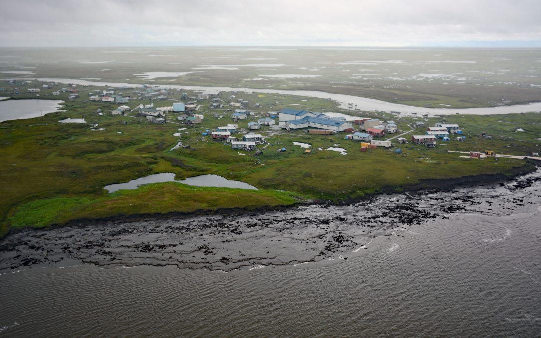
by CoastView | May 25, 2026 | 2026, Alaska, Coastal Features, Communities, Developments, Land Use, May 2026, Natural History, Rivers
Listen to the article here https://coastview.org/wp-content/uploads/2026/02/Newtok.mp3 Newtok is a Central Yup’ik community located between the Ningaluk River to the south and a tidal slough to the north, 19 miles (31 km) upstream from the Bering Sea in the...
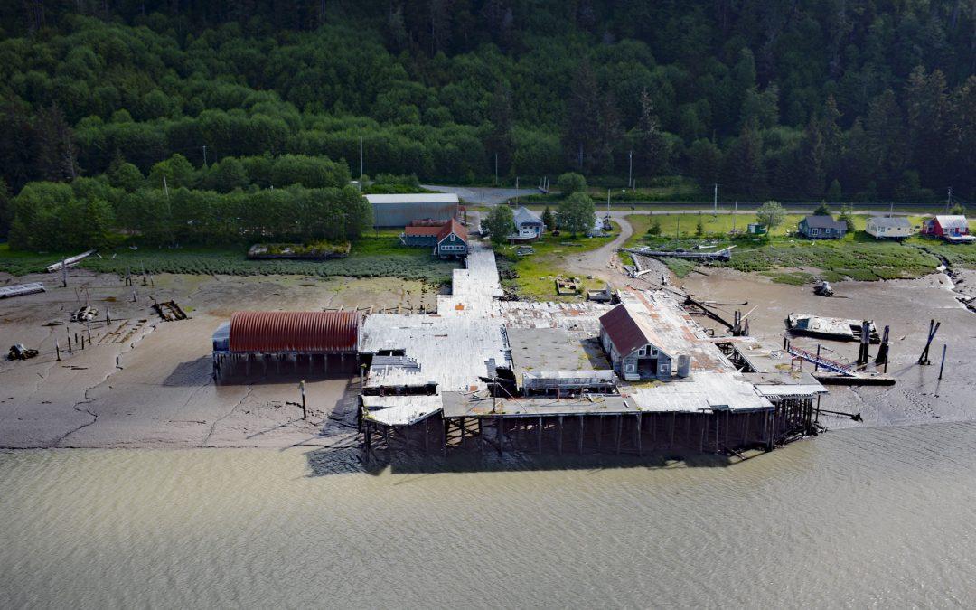
by CoastView | May 20, 2026 | 2026, Biodiversity, British Columbia, Canneries, Communities, Developments, Historical, Land Use, May 2026, Natural History, Rivers
Listen to the article here https://coastview.org/wp-content/uploads/2026/02/CassiarCannery.mp3 Cassiar is a historic salmon cannery on the northern shore of Inverness Passage at the mouth of the Skeena River, about 67 miles (108 km) southwest of Terrace and 11 miles...

by CoastView | May 13, 2026 | 2026, Alaska, Biodiversity, Coastal Features, Kachemak, Land Use, May 2026, Natural History, Rivers
Listen to the article here https://coastview.org/wp-content/uploads/2026/01/DiamondCreek.mp3 Diamond Creek starts at an elevation of about 1,000 feet (305 m) on the southern Kenai Peninsula and drains a watershed of 3,424 acres (1,386 ha) while flowing generally west...
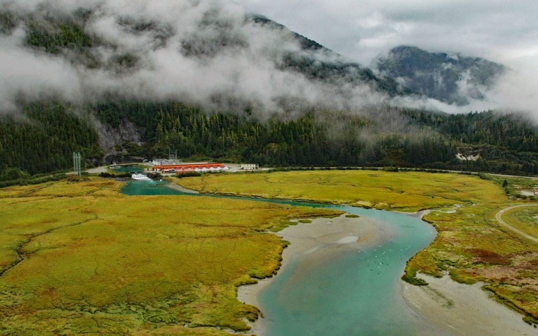
by CoastView | May 9, 2026 | 2026, Alaska, Developments, Embayments, Land Use, May 2026, Natural History, Rivers
Listen to the article here https://coastview.org/wp-content/uploads/2026/08/Snettisham.mp3 Speel Arm extends generally northeast for 9 miles (14.5 km) from the head of Port Snettisham to the mouth of the Speel River, and is the site of a hydroelectric facility powered...

by CoastView | May 8, 2026 | 2026, Communities, Land Use, May 2026, Natural History, Oregon, Rivers
Listen to the article here https://coastview.org/wp-content/uploads/2026/01/Gardiner.mp3 Blacks Island sits at the confluence of the Smith and Umpqua rivers, on the historic Southern Pacific Railroad spur line connecting Eugene with Coos Bay, about 1.7 miles (2.7 km)...
