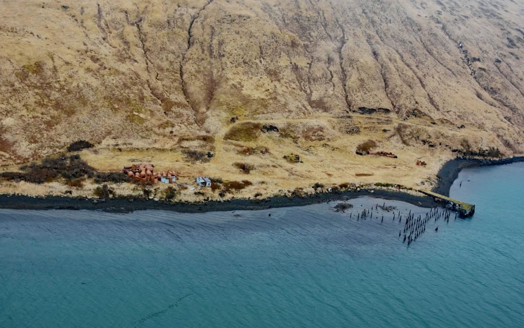
by CoastView | Jul 17, 2024 | 2024, Alaska, Biodiversity, Chemical Pollution, Developments, Embayments, Historical, Islands
Alaska Whaling Company built a whaling station in 1912 on the south shore of Akutan Harbor on Akutan Island, about 34 miles (55 km) northeast of Dutch Harbor and 1.5 miles (2.4 km) west-southwest of the village of Akutan, Alaska. It was the only whaling station in the...
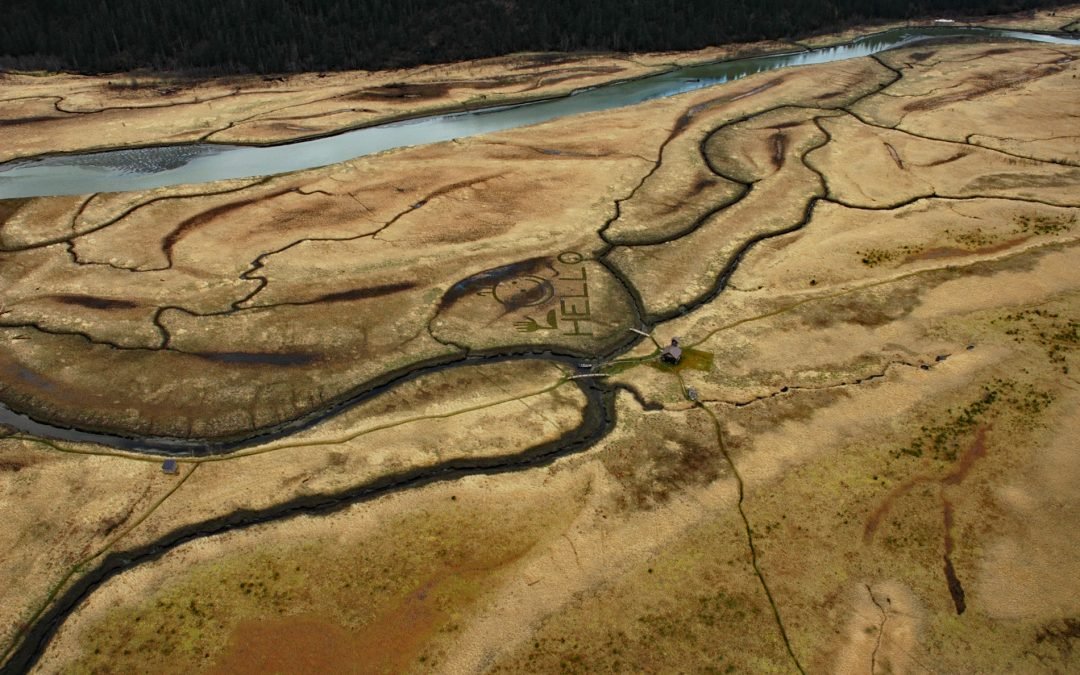
by CoastView | Jul 16, 2024 | 2024, Alaska, Freshwater, Islands, Land Use, Natural History, Parks, Rivers
King Slough is a water passage between Farm Island and Dry Island in the Stikine River delta, about 22 miles (36 km) southeast of Petersburg and 11 miles (18 km) north-northwest of Wrangell, Alaska. The slough is about 5 miles (8 km) long from North Arm Stikine River...
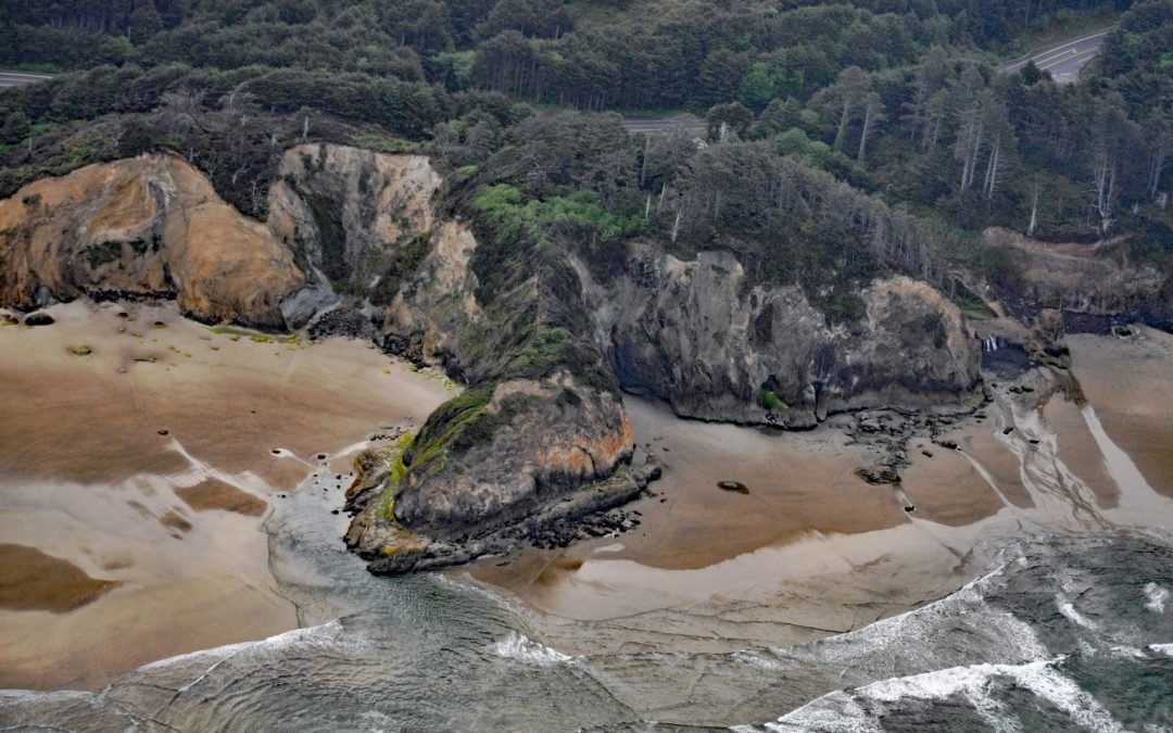
by CoastView | Jul 15, 2024 | 2024, Beaches, Coastal Features, Headlands, Historical, Land Use, Oregon, Parks
Hug Point is a headland in Hug Point State Recreation Site on the northern Oregon coast, about 1 mile (1.6 km) north of the community of Arch Cape and 5 miles (8.0 km) south of Cannon Beach, Oregon. The name dates to the late 19th century when this remote section of...
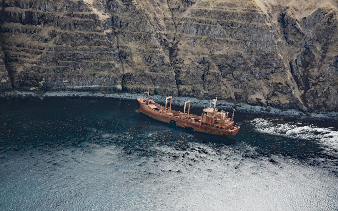
by CoastView | Jul 14, 2024 | 2024, Alaska, Chemical Pollution, Developments, Embayments, Historical, Islands, Mines, Shipwrecks
Aoyagi Maru is a Japanese flagged refrigerant ship that grounded on the south shore of Lost Harbor on Akun Island, about 135 miles (218 km) southwest of Cold Bay and 9 miles (14.5 km) northeast of Akutan, Alaska. Lost Harbor is a protected embayment about 1.5 miles...
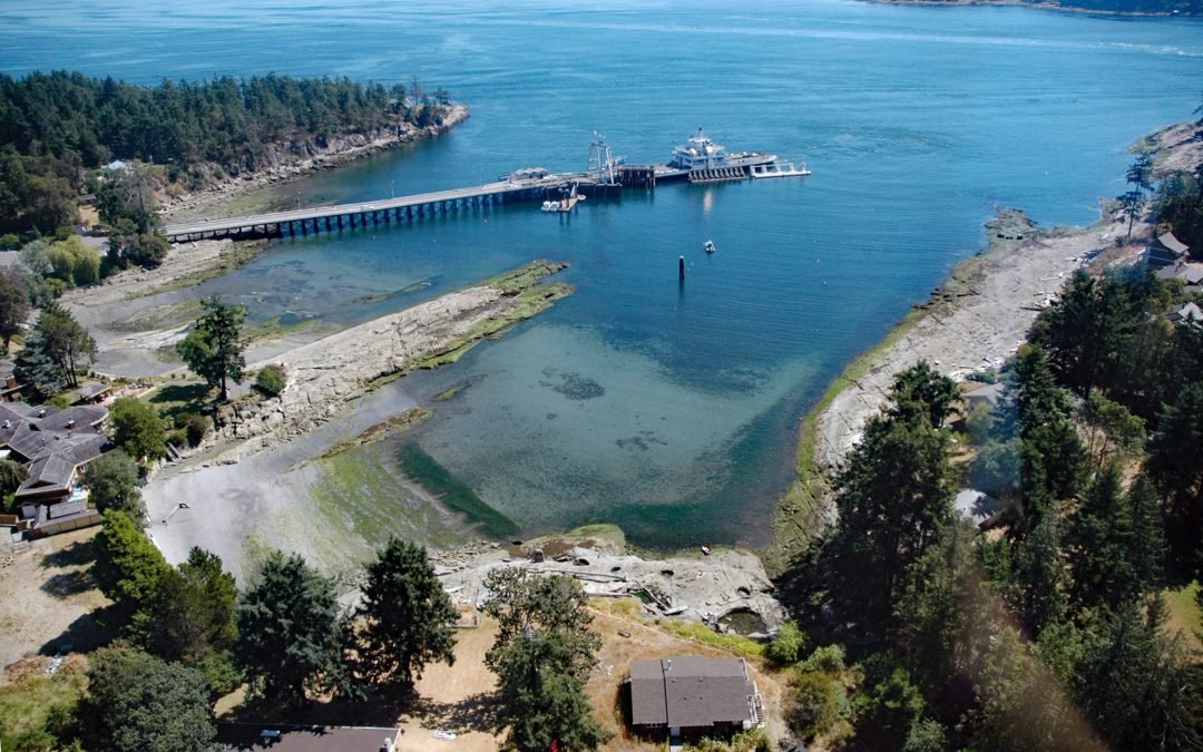
by CoastView | Jul 13, 2024 | 2024, British Columbia, Communities, Developments, Embayments, Historical, Islands, Land Use
Sturdies Bay is an embayment near the northern entrance to Active Pass between Rip Point and Burrill Point on the southeast shore of Galiano Island, one of the southern Gulf Islands, about 19 miles (31 km) southwest of Delta and 16 miles (26 km) north-northwest of...
