by CoastView | Feb 22, 2024 | 2024, Alaska, Biodiversity, Coastal Features, Embayments, Land Use, Natural History, Parks, Rivers
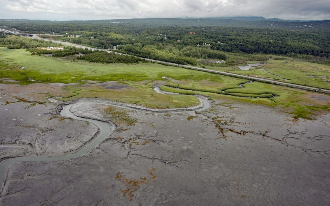
Rabbit Creek starts at the outlet of Rabbit Lake, at the base of the west flank of North Yuyanq’ Ch’ex in the Chugach Mountains at an elevation of 3,082 feet (940 m), and flows generally west-northwest for 26 miles (42 km) draining a watershed of 9,152 acres (3,704...
by CoastView | Feb 21, 2024 | 2024, Alaska, Coastal Features, Embayments, Historical, Islands, Natural History, Shipwrecks
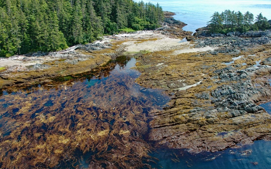
Kaigani Point is at the southwest tip of Long Island between Kaigani Strait to the west and Cordova Bay to the east, about 100 miles (161 km) northwest of Prince Rupert and 56 miles (90 km) southwest of Ketchikan, Alaska. Long Island is directly south of Sukkwan...
by CoastView | Feb 20, 2024 | 2024, Alaska, Biodiversity, Coastal Features, Embayments, Islands, Land Use, Natural History
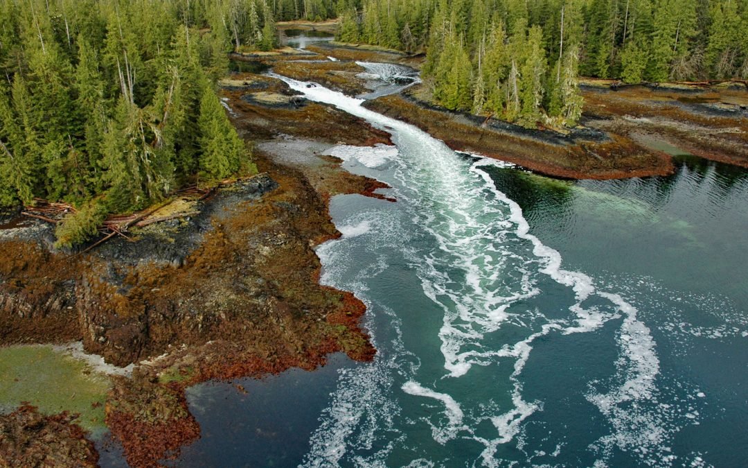
A skookumchuck is a tidal rapid that occurs at the mouth of an unnamed embayment that nearly bisects Brownson Island which is located on the west shore of Ernest Sound and separated from Etolin Island by Canoe Passage, about 47 miles (75 km) north-northwest of...
by CoastView | Feb 19, 2024 | 2024, Alaska, Beaches, Coastal Features, Communities, Embayments, Historical, Land Use, Natural History, Shipwrecks
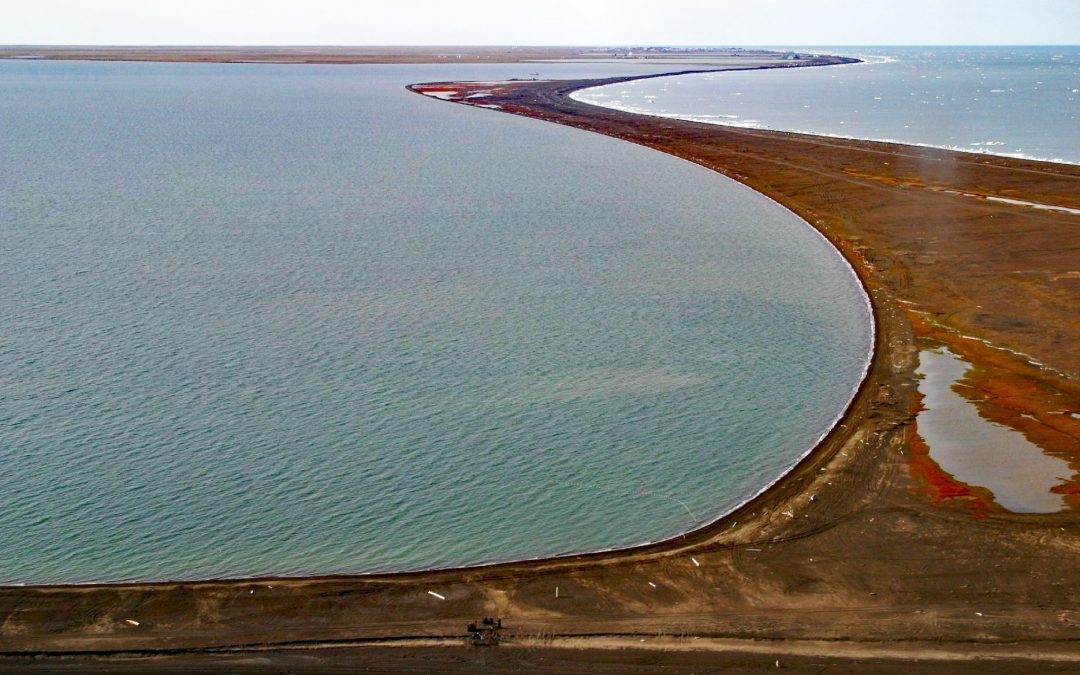
Point Barrow is a spit that extends northeast from the mainland for 4 miles (6.4 km) into the Arctic Ocean forming Elson Lagoon to the southeast, about 150 miles (242 km) northwest of Nuiqsut and 9.8 miles (16 km) northeast of Utqiaġvik, Alaska. The point is a spit...
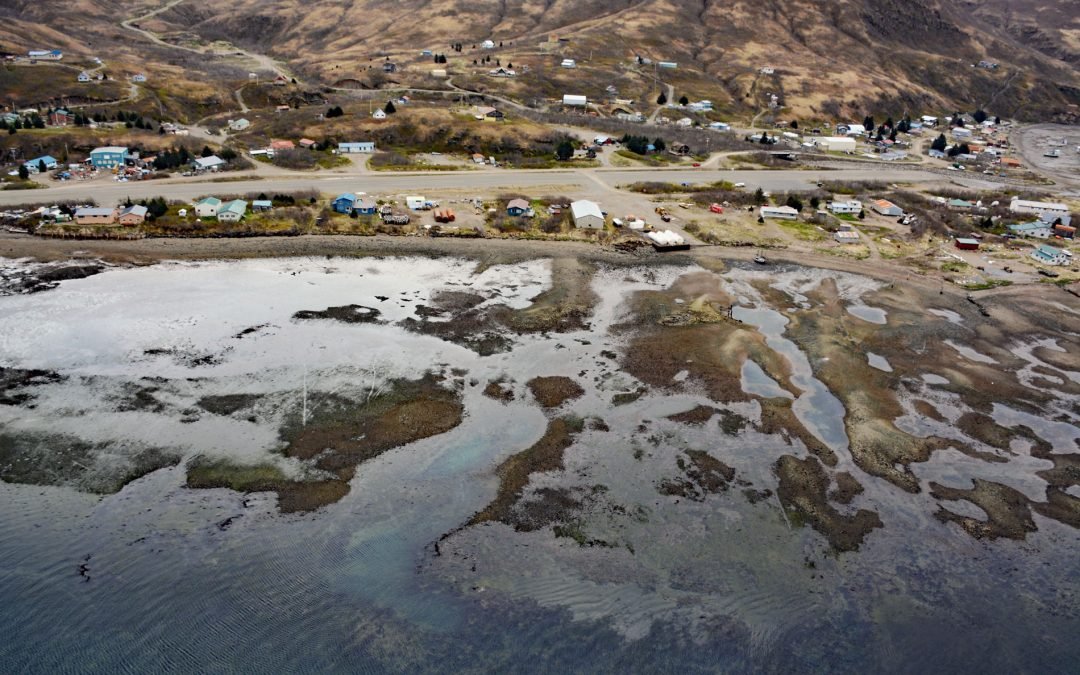
by CoastView | Feb 16, 2024 | 2024, Alaska, Biodiversity, Communities, Embayments, Land Use, Natural History, Rivers
Chignik Lagoon is an embayment that trends southwest for 8.5 miles (14 km) from the head of Chignik Bay to the mouth of Chignik River on the Gulf of Alaska coast of the Alaska Peninsula, about 45 miles (73 km) south of Port Heiden and 5 miles (8 km) west-northwest of...
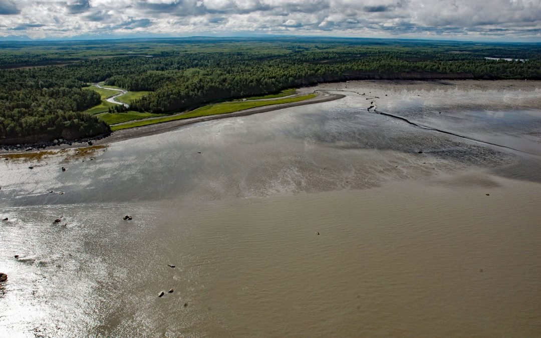
by CoastView | Feb 14, 2024 | 2024, Alaska, Biodiversity, Coastal Features, Developments, Land Use, Natural History, Parks, Rivers
Swanson River starts at an elevation of 224 feet (68 m) at the outlet of Gene Lake in the Swan Lake district on the Kenai Peninsula and flows generally southwest for 40 miles (64 km), draining a watershed of 162,496 acres (65,760 ha), to Number Three Bay on the...