by CoastView | Feb 12, 2026 | 2026, Alaska, Biodiversity, Coastal Features, Developments, February 2026, Hatcheries, Kachemak, Natural History
Listen to the article here https://coastview.org/wp-content/uploads/2026/02/TutkaBayLagoon.mp3 Tutka Bay Lagoon hosts a fish hatchery on the southern shore of Tutka Bay in Kachemak Bay State Park, roughly 10 miles (16 km) east of Seldovia and 15 miles (24 km)...
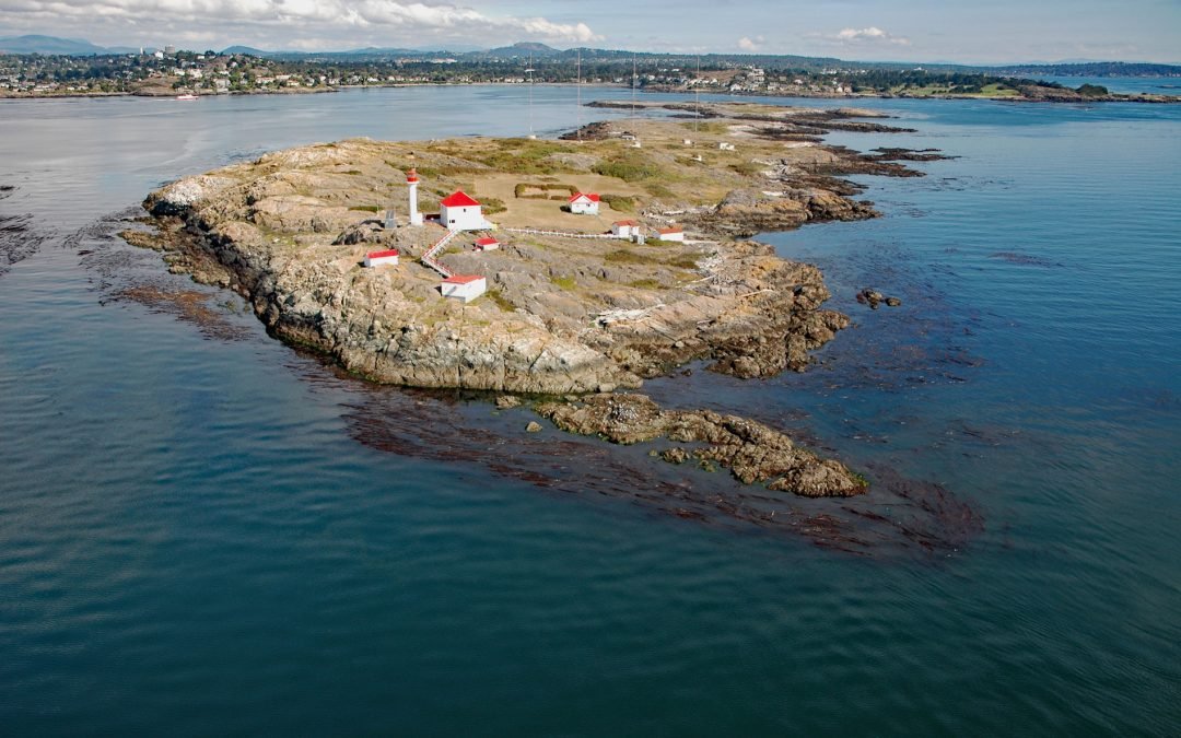
by CoastView | Feb 11, 2026 | 2026, Biodiversity, British Columbia, Coastal Features, Developments, February 2026, Islands, Land Use, Lighthouses, Natural History
Listen to the article here https://coastview.org/wp-content/uploads/2026/01/StainesPoint.mp3 Staines Point is the southern tip of the Trial Islands, which comprise two islets separated by a narrow channel in the Strait of Juan de Fuca about 0.5 miles (0.8 km) offshore...
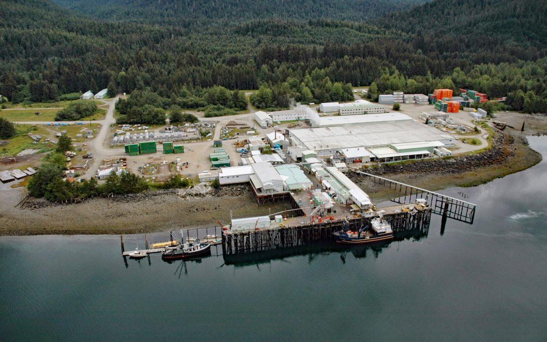
by CoastView | Feb 5, 2026 | 2026, Alaska, Canneries, Communities, Developments, Embayments, February 2026, Historical, Land Use, Natural History
Listen to the article here https://coastview.org/wp-content/uploads/2026/01/ExcursionInlet.mp3 Excursion Inlet is an embayment extending 11 miles (18 km) north-northwest from the northern coast of Icy Strait to the mouth of Excursion River, about 38 miles (61 km)...
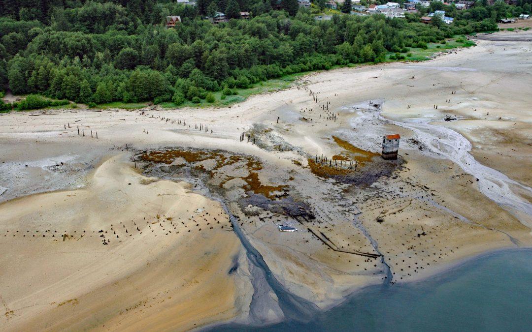
by CoastView | Feb 3, 2026 | 2026, Alaska, Developments, Embayments, February 2026, Historical, Islands, Land Use, Mines
Listen to the article here https://coastview.org/wp-content/uploads/2026/01/TreadwellMine.mp3 Treadwell is a historical gold mine on the eastern coast of Douglas Island on Gastineau Channel, about 1.2 miles (1.9 km) south-east of the community of Douglas and 3 miles...
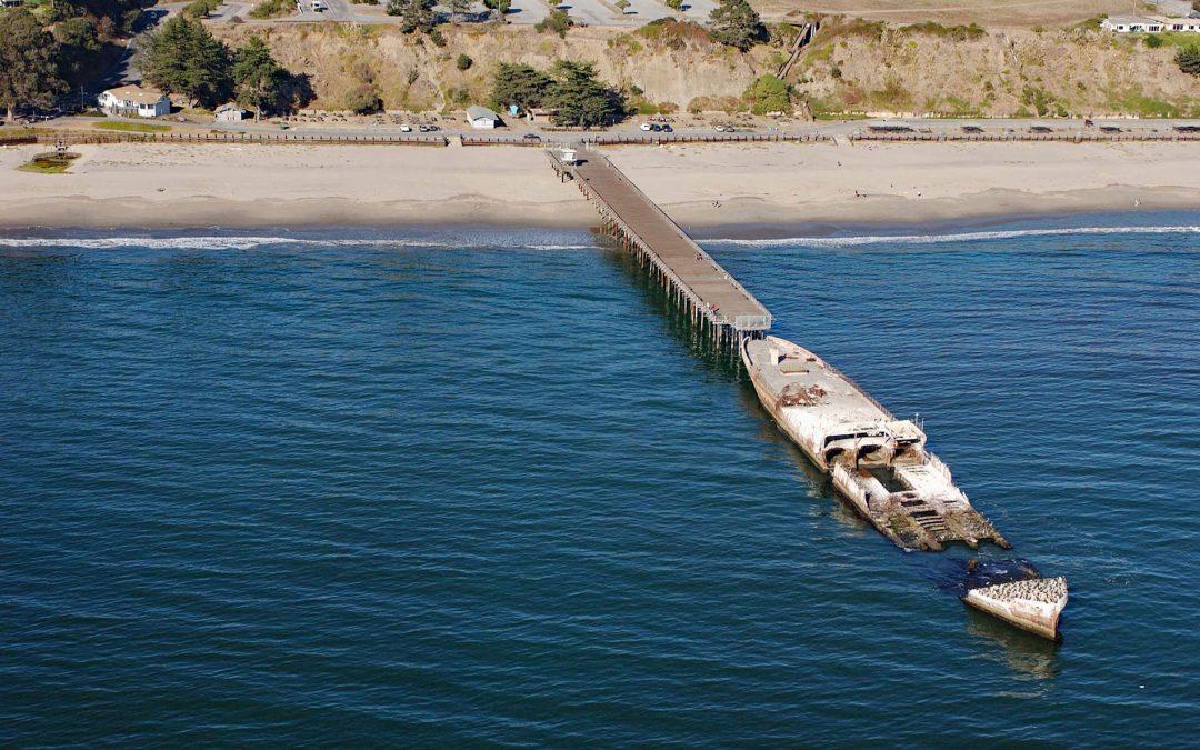
by CoastView | Feb 2, 2026 | 2026, Beaches, California, Communities, Developments, February 2026, Historical, Natural History, Shipwrecks
Listen to the article here https://coastview.org/wp-content/uploads/2026/01/SSPaloAlto.mp3 SS Palo Alto is a shipwreck now serving as an artificial reef located at Seacliff State Beach on the northern coast of Monterey Bay, approximately 6.4 miles (10.3 km) east of...
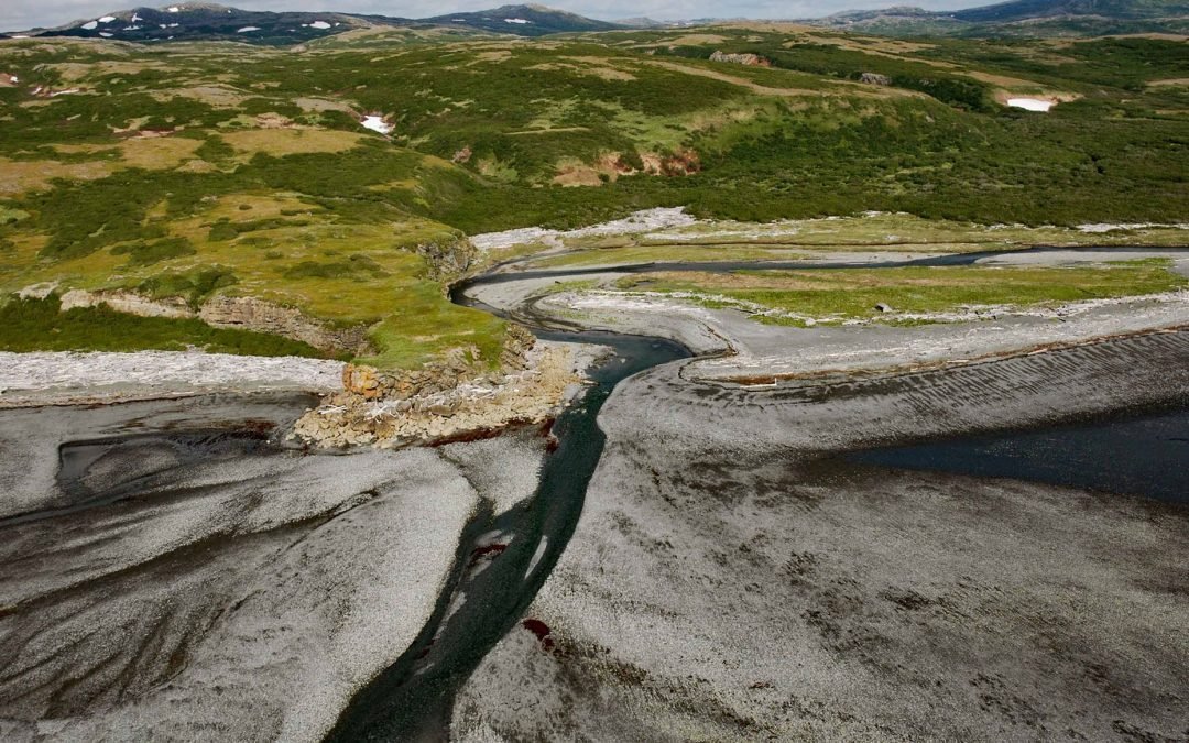
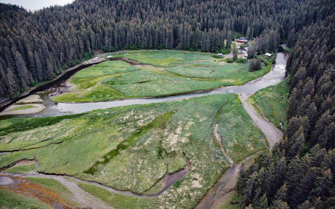
by CoastView | Feb 1, 2026 | 2026, Alaska, Coastal Features, Developments, Embayments, February 2026, Land Use, Natural History, Rivers
Listen to the article here https://coastview.org/wp-content/uploads/2026/02/AmakdedoriCreek.mp3 Amakdedori Creek drains a watershed of 17,781 acres (7,196 ha) on the eastern flank of the Aleutian Range and flows south-east for 10 miles (16 km) to Kamishak Bay, about...