by CoastView | Mar 5, 2026 | 2026, Biodiversity, British Columbia, Coastal Features, Headlands, Islands, Land Use, Lighthouses, March 2026, Natural History, Parks
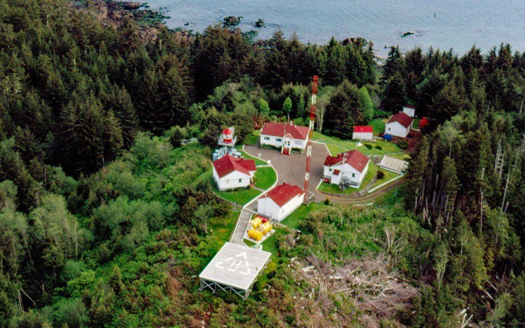
Listen to the article here https://coastview.org/wp-content/uploads/2026/01/CapeScott.mp3 Cape Scott is a headland approximately 500 feet (150 m) high at the extreme north-western point of Vancouver Island in Cape Scott Provincial Park, about 256 miles (412 km)...
by CoastView | Mar 4, 2026 | 2026, Alaska, Best of 2025, Communities, Developments, Islands, Land Use, March 2026, Natural History
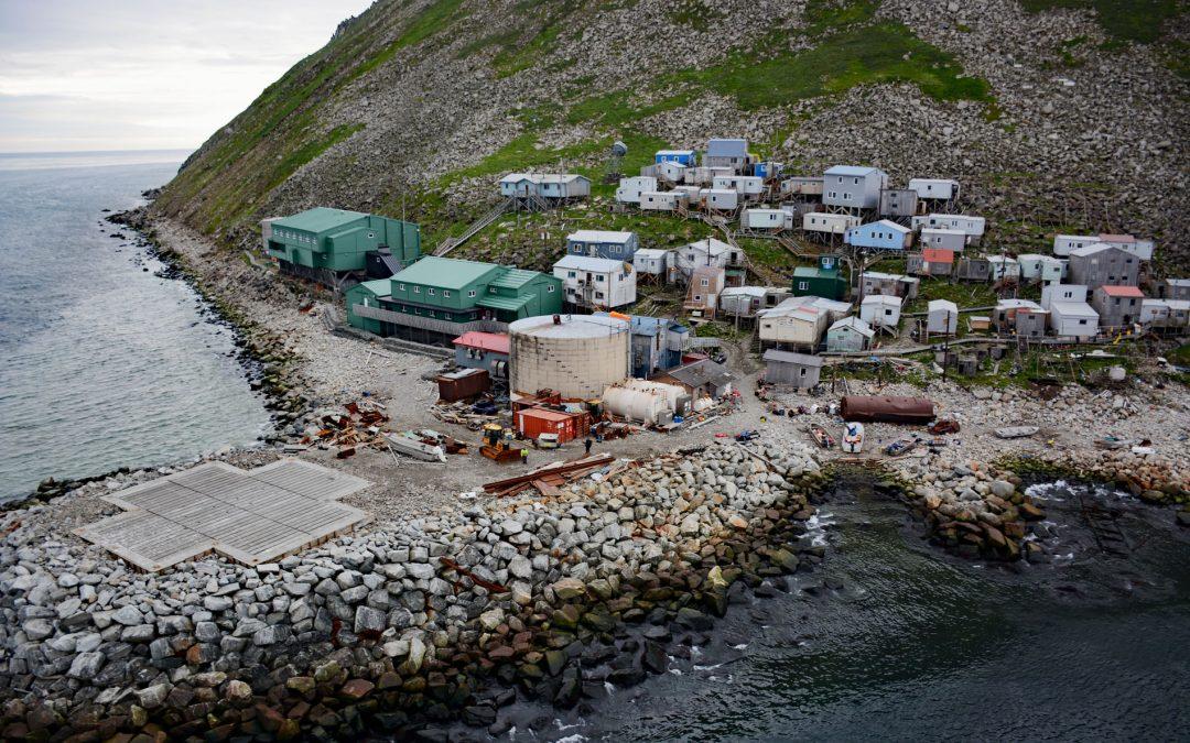
Listen to the article here https://coastview.org/wp-content/uploads/2026/01/Diomede.mp3 Diomede is an Iñupiaq village on the west coast of Little Diomede Island, located less than 1 mile (1.6 km) from the International Date Line, 2.4 miles (3.9 km) east of Big Diomede...
by CoastView | Mar 2, 2026 | 2026, Beaches, California, Coastal Features, Headlands, Land Use, March 2026, Natural History, Parks
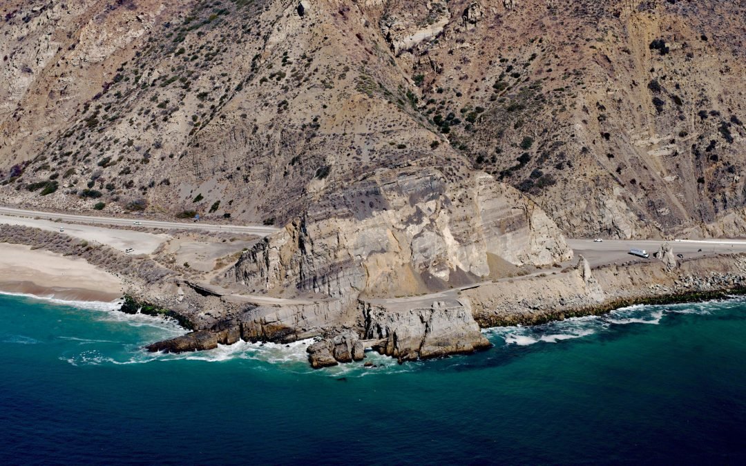
Listen to the article here https://coastview.org/wp-content/uploads/2026/01/MuguRock.mp3 Mugu Rock is a distinctive feature at Point Mugu, a headland in Point Mugu State Park situated between Thornhill Broome Beach to the east and Mugu Beach to the west in Santa...
by CoastView | Mar 1, 2026 | 2026, Alaska, Communities, Embayments, Historical, Land Use, March 2026, Natural History
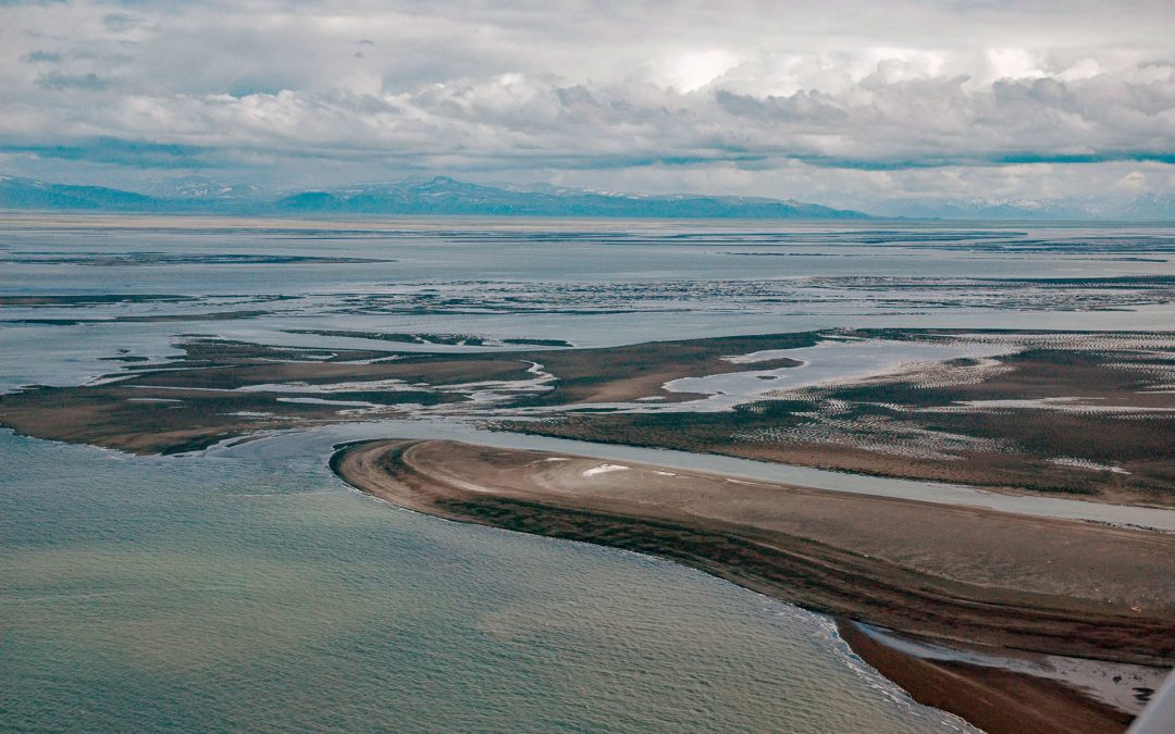
Listen to the article here https://coastview.org/wp-content/uploads/2026/01/PortHeiden.mp3 Port Heiden is an embayment on the northern coast of the Alaska Peninsula that extends 9 miles (14 km) south-east from Bristol Bay between Strogonof Point and the community of...
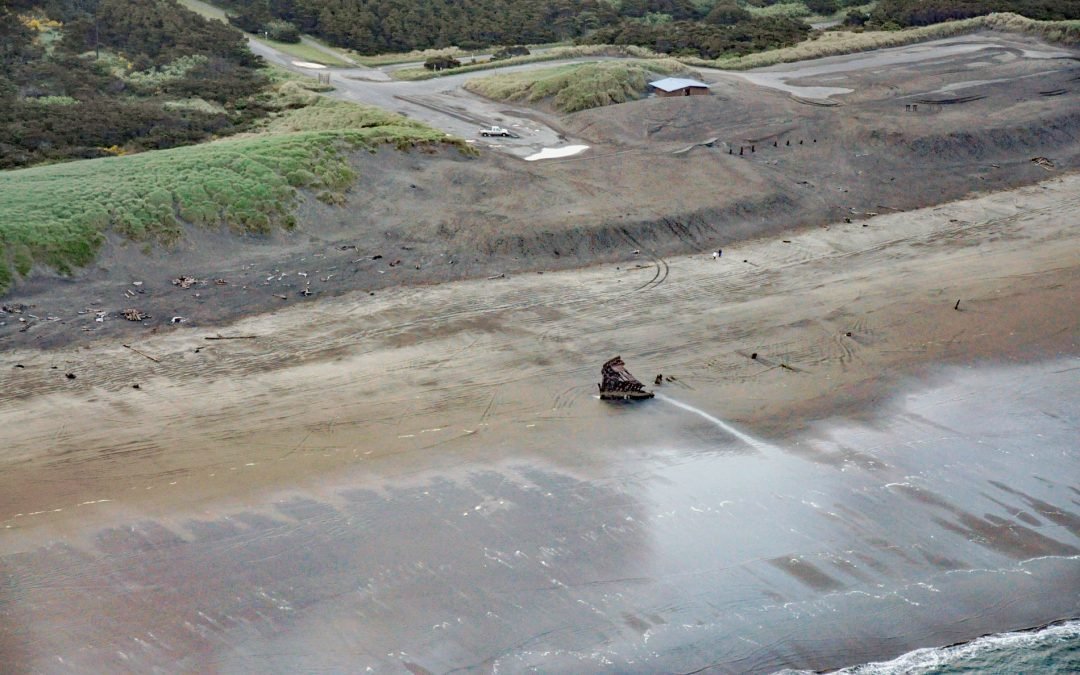
by CoastView | Feb 28, 2026 | 2026, Beaches, Historical, Land Use, March 2026, Oregon, Parks, Shipwrecks
Listen to the article here https://coastview.org/wp-content/uploads/2026/01/PeterIredale.mp3 Peter Iredale was a British four-masted bark that ran aground in 1906 on Clatsop Spit, about 7 miles (11 km) west of Astoria and 2 miles (3 km) south-west of Hammond, Oregon....

by CoastView | Feb 27, 2026 | 2026, Alaska, Beaches, Biodiversity, Coastal Features, Embayments, February 2026, Kachemak, Land Use, Parks, Rivers
Listen to the article here https://coastview.org/wp-content/uploads/2026/01/GrewingkCreek.mp3 Grewingk Creek drains a glaciated watershed of 29,138 acres (11,792 ha) and flows northwest for 3.5 miles (5.6 km) from the terminus lake of the retreating Grewingk Glacier...