by CoastView | Feb 1, 2026 | 2026, Alaska, Coastal Features, Developments, Embayments, Land Use, Natural History, Rivers
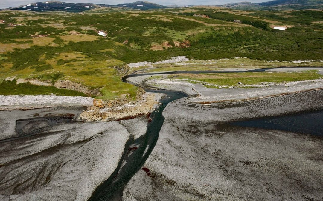
Listen to the article here https://coastview.org/wp-content/uploads/2026/02/AmakdedoriCreek.mp3 Amakdedori Creek drains a watershed of 17,781 acres (7,196 ha) on the eastern flank of the Aleutian Range and flows south-east for 10 miles (16 km) to Kamishak Bay, about...
by CoastView | Jan 31, 2026 | 2026, Beaches, Coastal Features, Historical, Land Use, Natural History, Oregon, Shipwrecks
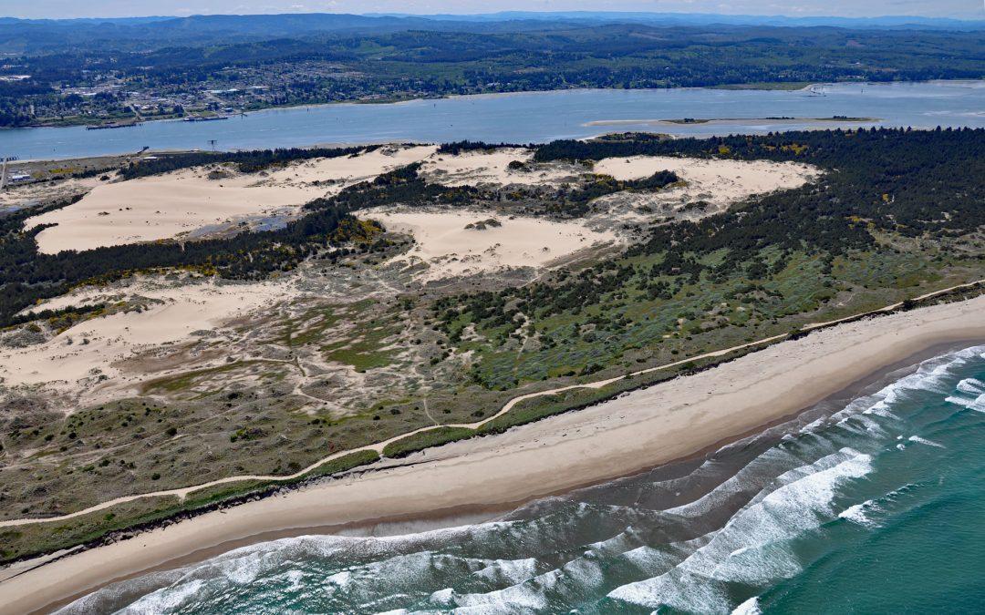
Listen to the article here https://coastview.org/wp-content/uploads/2026/01/NewCarissa.mp3 New Carissa was a 639-foot (195 m) freighter that grounded on North Spit in 1999, causing an oil spill about 5 miles (8 km) north-west of Coos Bay and 4 miles (6.5 km) west of...
by CoastView | Jan 30, 2026 | 2026, Alaska, Developments, Embayments, Kachemak, Land Use, Natural History
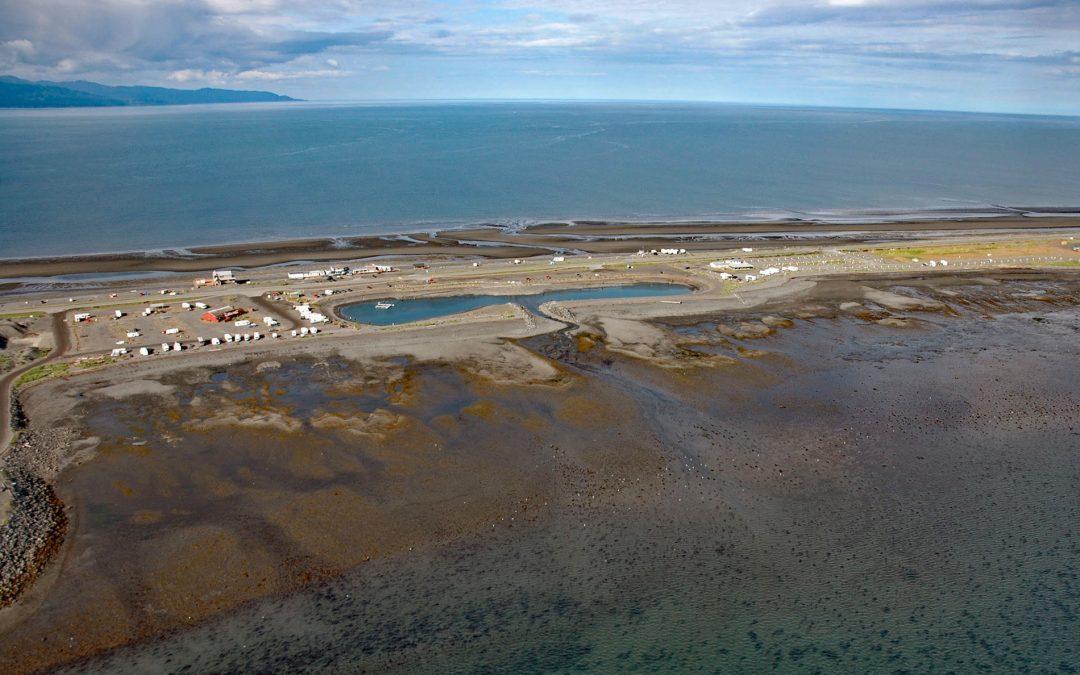
Listen to the article here https://coastview.org/wp-content/uploads/2026/01/DudiakLagoon.mp3 The Nick Dudiak Fishing Lagoon, also known as the Fishing Hole, is located on the Homer Spit, a peninsula projecting 4 miles (6.4 km) south-east from the northern shore of...

by CoastView | Jan 29, 2026 | 2026, British Columbia, Coastal Features, Communities, Developments, Historical, Land Use, Parks
Listen to the article here https://coastview.org/wp-content/uploads/2026/01/SiwashRock.mp3 Siwash Rock is a sea stack on the western shoreline of Stanley Park on Burrard Inlet, between English Bay to the south and the entrance to Vancouver Harbour to the north, about...

by CoastView | Jan 28, 2026 | 2026, Alaska, Coastal Features, Developments, Embayments, Land Use
Listen to the article here https://coastview.org/wp-content/uploads/2026/01/ValdezMarineTerminal.mp3 Valdez Marine Terminal is located on the southern shore of Port Valdez, about 124 miles (200 km) east of Anchorage and 3.5 miles (5.6 km) south of the community of...

by CoastView | Jan 25, 2026 | 2026, Alaska, Coastal Features, Land Use, Natural History, Parks, Rivers
Listen to the article here https://coastview.org/wp-content/uploads/2026/01/CrescentRiver.mp3 Crescent River is formed by the junction of the North Fork and Lake Fork tributaries, which start in Lake Clark National Park and Preserve, and flows south-east for 12 miles...
