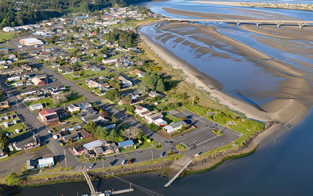
by CoastView | May 11, 2025 | 2025, Beaches, Coastal Features, Communities, Developments, Embayments, Historical, Land Use, Oregon, Rivers
Listen to the article here https://coastview.org/wp-content/uploads/2025/04/Waldport.mp3 Waldport is a community situated on the southern shore of Alsea Bay, an estuary of the Alsea River, about 15 miles (24 km) south of Newport and 8 miles (13 km) north of Yachats,...
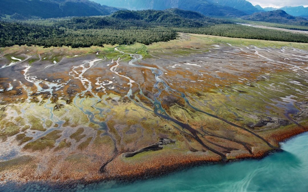
by CoastView | May 9, 2025 | 2025, Alaska, Beaches, Biodiversity, Coastal Features, Historical, Kachemak, Land Use, Natural History, Parks, Rivers
Listen to the article here https://coastview.org/wp-content/uploads/2025/04/Humpy-Creek.mp3 Humpy Creek drains a watershed of 6,912 acres (2,797 ha) and flows northwest for about 4.5 miles (7 km) from Emerald Lake in the Kenai Mountains to the southeastern shore of...

by CoastView | May 4, 2025 | 2025, Best of 2025, Coastal Features, Developments, Embayments, Historical, Land Use, Parks, Rivers, Washington
Listen to the article here https://coastview.org/wp-content/uploads/2025/04/Dismal-Nitch.mp3 Dismal Nitch is a cove on the north shore of the lower Columbia River, historically significant as the last campsite of the Lewis and Clark Expedition before they sighted the...

by CoastView | May 2, 2025 | 2025, Alaska, Biodiversity, Coastal Features, Embayments, Historical, Kachemak, Natural History, Rivers
Listen to the article here https://coastview.org/wp-content/uploads/2025/04/Seldovia-River.mp3 Seldovia River drains a watershed of 16,980 acres (6,872 ha) and flows generally northwest for 5 miles (8 km) from Seldovia Lake in the Kenai Mountains to Seldovia Bay, on...

by CoastView | Apr 30, 2025 | 2025, Beaches, California, Chemical Pollution, Communities, Developments, Historical, Land Use, Rivers
Listen to the article here https://coastview.org/wp-content/uploads/2025/04/Long-Beach.mp3 The Los Angeles River begins at the confluence of Bell Creek and Arroyo Calabasas, which drain from the Simi Hills and Santa Monica Mountains respectively, and flows southeast...

by CoastView | Apr 26, 2025 | 2025, Biodiversity, British Columbia, Climate Change, Coastal Features, Embayments, Historical, Land Use, Natural History, Parks, Rivers
Listen to the article here https://coastview.org/wp-content/uploads/2025/04/Dala-Kildala.mp3 Dala-Kildala Rivers Estuaries Provincial Park is located at the head of Kildala Arm, a fjord that extends generally southeast for 10 miles (16 km) from Douglas Channel, about...