by CoastView | Feb 22, 2024 | 2024, Alaska, Biodiversity, Coastal Features, Embayments, Land Use, Natural History, Parks, Rivers
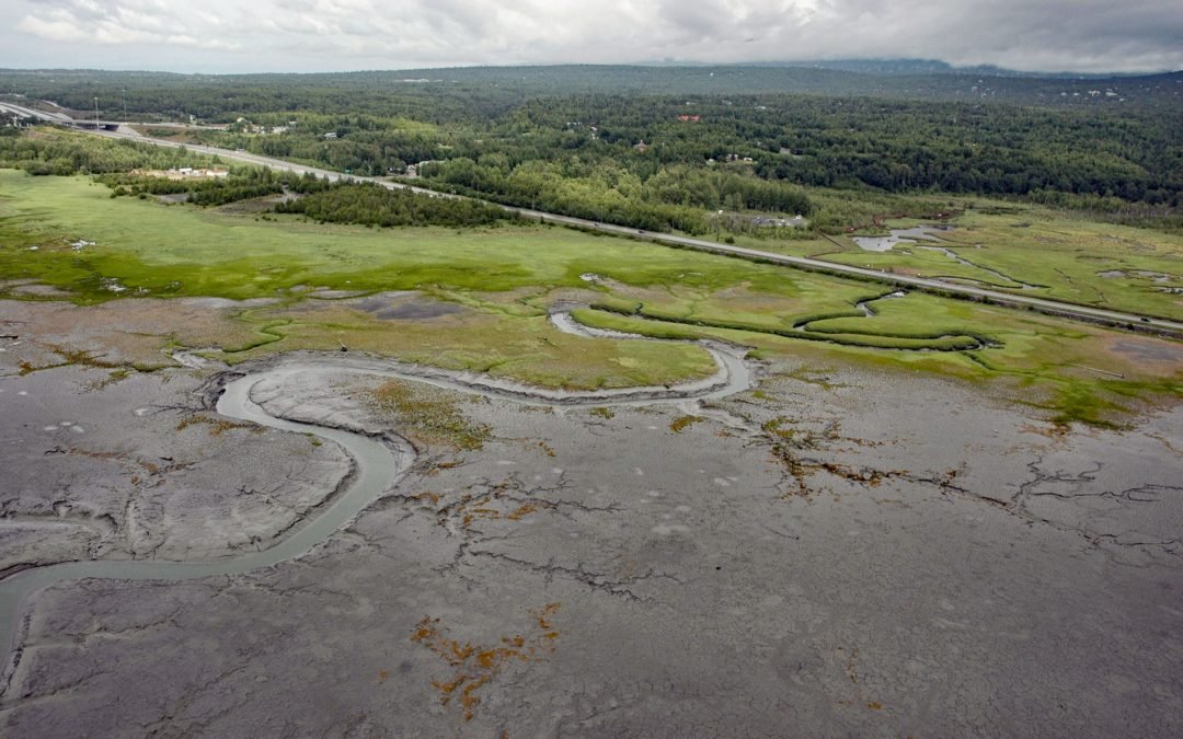
Rabbit Creek starts at the outlet of Rabbit Lake, at the base of the west flank of North Yuyanq’ Ch’ex in the Chugach Mountains at an elevation of 3,082 feet (940 m), and flows generally west-northwest for 26 miles (42 km) draining a watershed of 9,152 acres (3,704...
by CoastView | Feb 20, 2024 | 2024, Alaska, Biodiversity, Coastal Features, Embayments, Islands, Land Use, Natural History
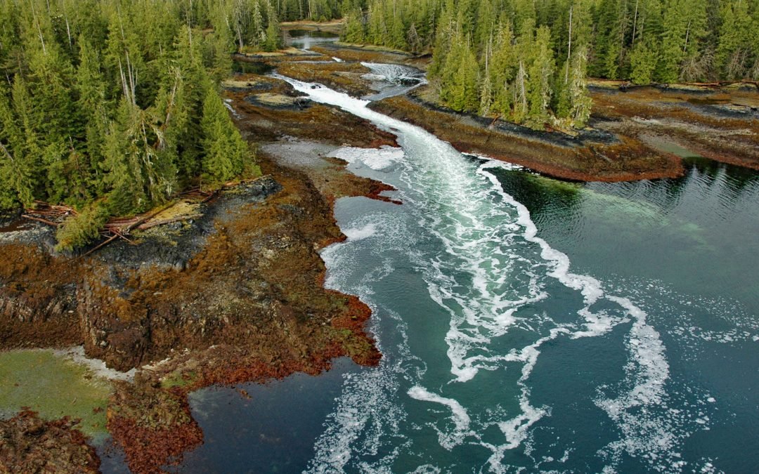
A skookumchuck is a tidal rapid that occurs at the mouth of an unnamed embayment that nearly bisects Brownson Island which is located on the west shore of Ernest Sound and separated from Etolin Island by Canoe Passage, about 47 miles (75 km) north-northwest of...
by CoastView | Feb 19, 2024 | 2024, Alaska, Beaches, Coastal Features, Communities, Embayments, Historical, Land Use, Natural History, Shipwrecks
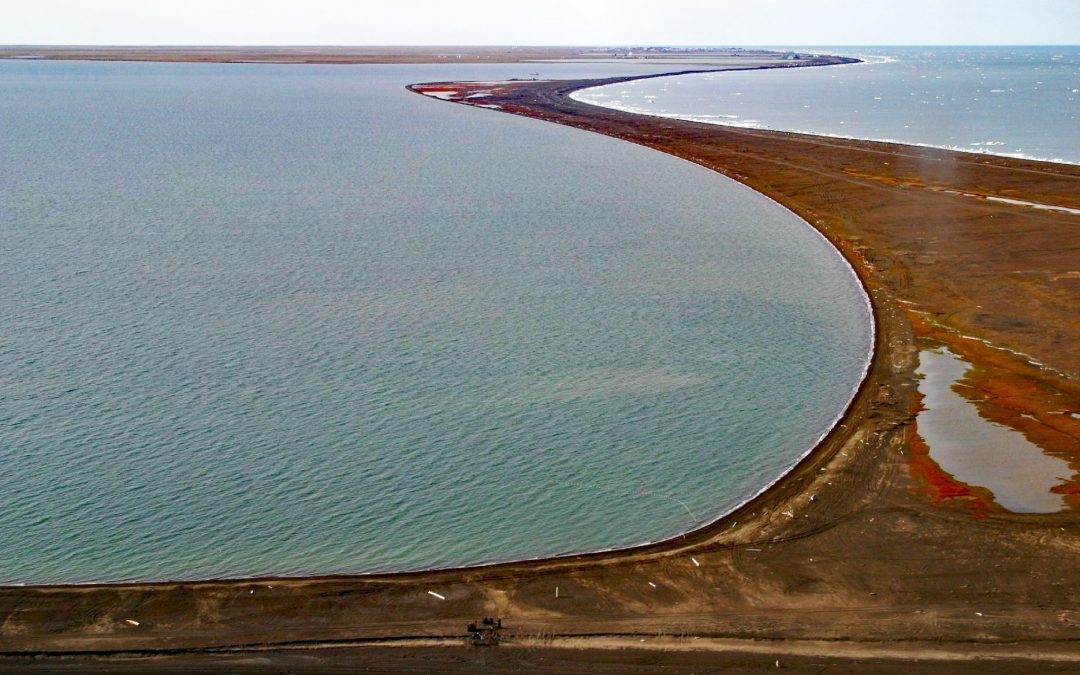
Point Barrow is a spit that extends northeast from the mainland for 4 miles (6.4 km) into the Arctic Ocean forming Elson Lagoon to the southeast, about 150 miles (242 km) northwest of Nuiqsut and 9.8 miles (16 km) northeast of Utqiaġvik, Alaska. The point is a spit...

by CoastView | Feb 18, 2024 | 2024, Biodiversity, California, Coastal Features, Land Use, Natural History, Parks, Rivers, Sea Caves
Devil’s Punchbowl is a sinkhole formed by a collapsed sea cave over 70 feet (21 m) deep and 100 feet (30 m) in diameter near the mouth of Russian Gulch Creek in Russian Gulch State Park, about 8 miles (13 km) south of Fort Bragg and 1.6 miles (2.6 km)...
by CoastView | Feb 17, 2024 | 2024, Beaches, Embayments, Headlands, Islands, Land Use, Lighthouses, Natural History, Parks, Washington
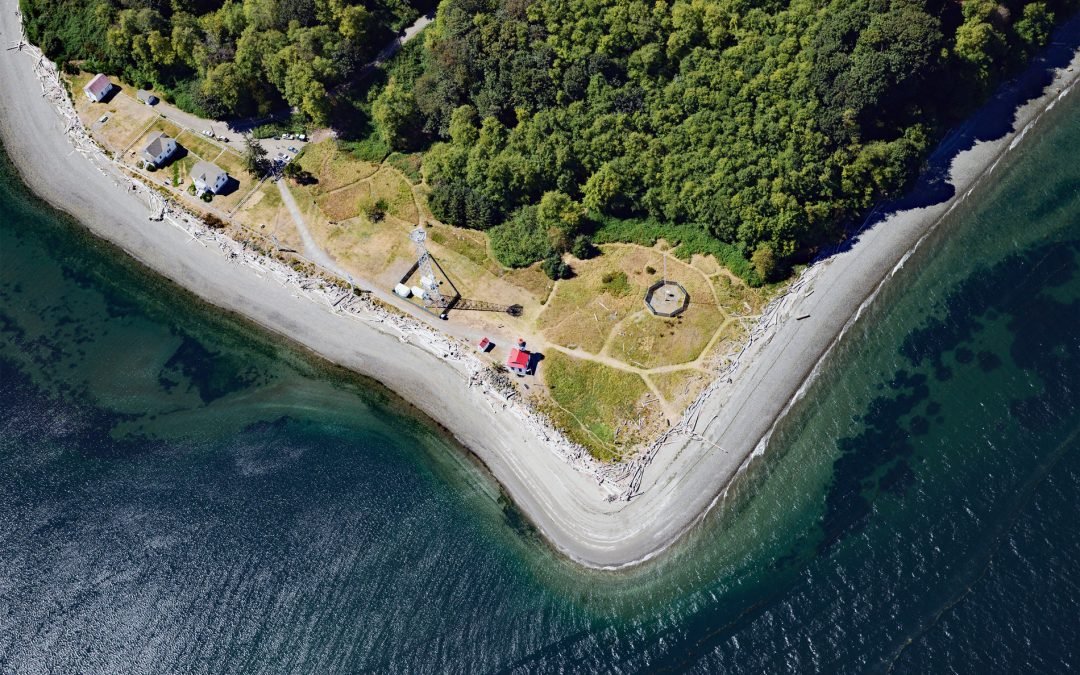
Point Robinson is the eastern point of Maury Island in Puget Sound and the site of a historic lighthouse, about 15 miles (24 km) south of Seattle and 10 miles (16 km) north-northeast of Tacoma, Washington. The point was named in 1841 by the United States Exploring...
by CoastView | Feb 16, 2024 | 2024, Alaska, Biodiversity, Communities, Embayments, Land Use, Natural History, Rivers
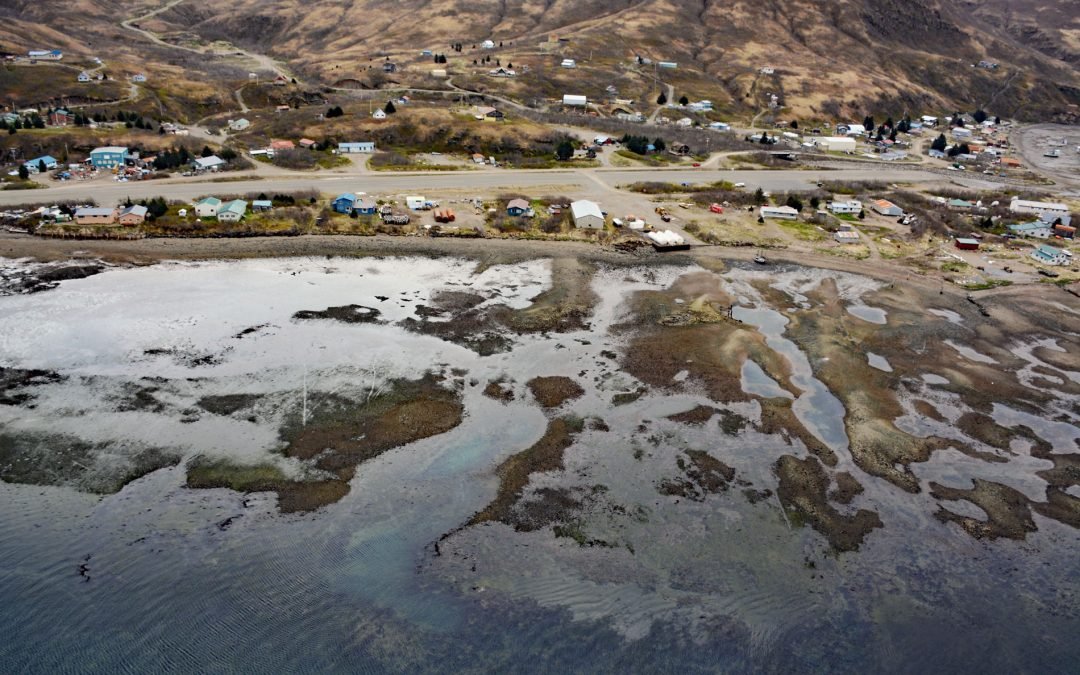
Chignik Lagoon is an embayment that trends southwest for 8.5 miles (14 km) from the head of Chignik Bay to the mouth of Chignik River on the Gulf of Alaska coast of the Alaska Peninsula, about 45 miles (73 km) south of Port Heiden and 5 miles (8 km) west-northwest of...
